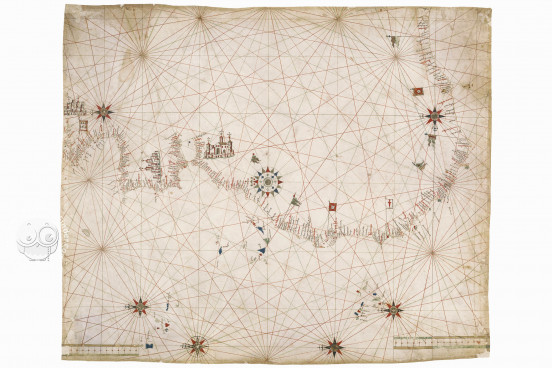
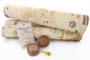
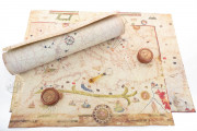
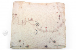
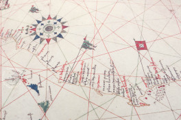
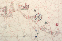
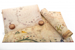
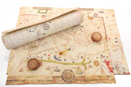
This anonymous portolan chart is an interesting example of fifteenth-century nautical cartography. It was certainly made after 1471 and probably by 1482, and thus may well be the oldest surviving Portuguese portolan chart. Oriented to the north, the chart depicts the Atlantic coast of Europe and Africa, as well as the Atlantic islands. It is distinguished for being the first portolan chart to include the Lagos River, discovered by Europeans in 1471.
Although neither the chart's author nor its date is known for certain, it is a remarkable example of early modern portolan charts, showing the Portuguese discoveries in western Africa of the fifteenth century.
A Reflection of Its Time
This chart is made on a single piece of parchment that has been trimmed to 73 × 60 cm. It depicts the Atlantic coast extending from the mouth of the Seine in Normandy to the Gulf of Guinea.
Place names are generally abundant. Nevertheless, the contrast between the coast of the Iberian Peninsula, densely covered with toponyms, and that of Africa with fewer specific place names, indicates that the exploration of the African coast was still in progress.
Classic Features of a Portolan Chart
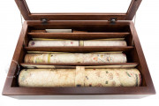
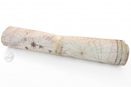
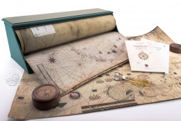
Portolan charts are single sheet documents usually on parchment designed to be of practical use in navigating coastal waters. They could be rolled up for transport and unrolled for consultation onboard ships. Because they were used and reused, the surviving examples must represent a fraction of what was made.
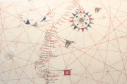
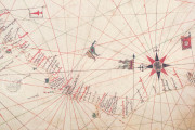
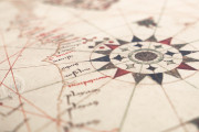
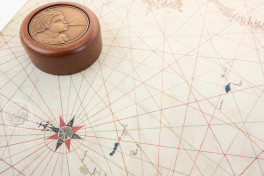
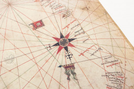
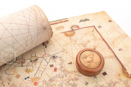
Two scales of leagues appear at the left edge of this chart. There are seven compass roses—the most elaborate located in northwestern Africa. As is customary on portolan charts, rhumb lines—paths with constant bearings relative to magnetic north—in black, green, and red radiate from the compass roses.
The Atlantic archipelagos of the Azores, Madeira, the Canary Islands, and Cape Verde are included. The islands are colored in blue, red, and green, as is customary on portolan charts.
The island of Lanzarote, in the Canaries, is marked by the red cross of Saint George, symbol of Genoa. Although Genoa never laid claim to the island, this serves as a reference to the Genoese sailor Lanzarotto Malocello, who discovered it for early modern Europeans in the fourteenth century and after whom it is named.
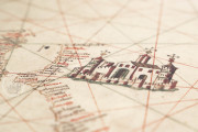
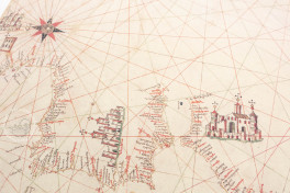
In both Africa and Europe, the names of important cities are written in red ink. Various points along the African coast are marked by banners or flags, including two by the flag of Portugal. Three cities—two in Europe, including Lisbon, and one in Africa, probably Ceuta—are singled out for stylized bird's eye views.
One of a Trove of Early Maps Secured for the Biblioteca Estense
The chart was inventoried in 1859 as one of "four nautical maps of the fifteenth-century" in the collection of Francesco V d'Austria-Este (1819-1875), Duke of Modena. All four charts, which include Portulan C.G.A.5.b and Portulan C.G.A.5.d were donated in 1870 by Giuseppe Boni to the Biblioteca Estense Universitaria.
We have 3 facsimiles of the manuscript "Portulan C.G.A.5.c":
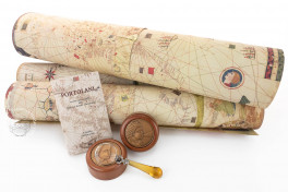
- Portolano C.G.A.5.c (map in tube) facsimile edition published by Il Bulino, edizioni d'arte, 2002
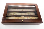
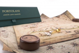
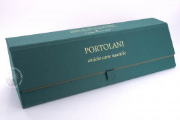
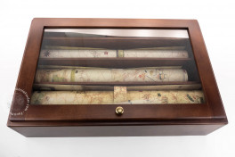
- Portolani (set of 3 maps in case, includes C.G.A.5.c) facsimile edition published by Il Bulino, edizioni d'arte, 2004
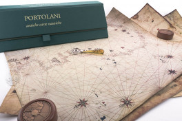
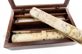
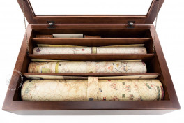
- Portolani (set of 3 maps in deluxe wooden case, includes C.G.A.5.c) facsimile edition published by Il Bulino, edizioni d'arte, 2004

