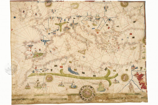
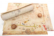
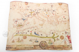
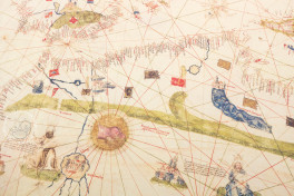
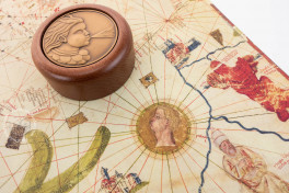
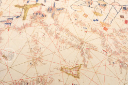
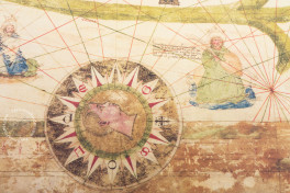
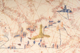
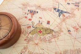
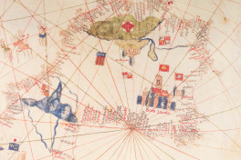
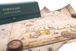
This anonymous and undated manuscript chart provides a fascinating glimpse into early modern cartography in southern Europe. It was probably made in Majorca in the mid-fifteenth century, and it shows the Mediterranean basin, as well as the west coast of North Africa, parts of the Atlantic coast of northern Europe, and the British Isles. It extends east as far as the Black Sea. The inclusion of figures accompanied by long inscriptions on the African continent make this an unusual example of a portolan chart.
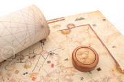
With abundant place names along the coastlines, the chart includes rich embellishment, with depictions of important European and African cities, mountains, and rivers, as well as various flags and coats of arms. It occupies a single sheet of parchment and now measures 59 × 76 cm, having been trimmed at the east and the south.
Between Real and Imagined Geographies
The southernmost point represented on the chart is Cape Bojador, the headland on the west coast of the Sahara Desert, which was first rounded by the mariner Gil Eanes in 1434 at the behest of Henry the Navigator (1394-1460), a Portuguese prince who encouraged maritime exploration.
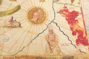
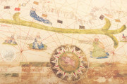
In Africa, a large green band represents the Atlas Mountains, following the formal tradition of nautical charts. Cities and rivers are also portrayed. At the eastern limit of the continent, the Red Sea—colored an intense red—is depicted accompanied by an inscription about the crossing of the sea by the biblical Hebrews during the Exodus from Egypt.
Pure legend also finds expression here in the inclusion of the mythical Atlantic island of Brazil and the legendary Lacus Fortunatus (Fortunate Lake) in western Ireland, a reflection of the blurred line between real and imaginary geographies in early modern mapmaking.
A Most Remarkable Feature
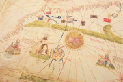
Portulan C.G.A.5.d differs from most portolan charts in its inclusion of human figures. Four rulers are depicted in the area south of the Atlas Mountains. They are identified as the kings of Guinea, Organa, and Nubia and—finally, at the far east—Prester John, "lord of the Indies," even though pictured due south of the Nile delta. The three seated kings are pictured turbaned and crowned. The kings of Organa and Nubia carry sabers and shields.
Portolan Charts for Use and Display
Portolan charts (portolani in Italian) are nautical maps centered on the Mediterranean basin of a type developed in the thirteenth century. They constitute the clearest statement of the geographic and cartographic knowledge of the late medieval and early modern periods.
The less elaborately decorated examples were intended for practical use in navigation, whereas the more lavishly decorated charts, such as this one, were produced for collection and displayed by nobles for their enjoyment.
From the Collection of Princes
The artistically ambitious Portulan C.G.A.5.d may have been in the possession of the Este dukes of Ferrara and Modena from an early date, but there is no direct evidence. It was in the Palazzo Ducale in Modena in 1859, when it was mentioned in an inventory. The subsequent disruptions of the Franco-Austrian War create a lacuna in the chart's provenance. It was eventually secured, in 1870, by Giuseppe Boni for the Biblioteca Estense Universitaria.
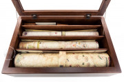
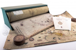
We have 3 facsimiles of the manuscript "Portulan C.G.A.5.d":
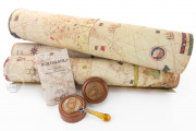
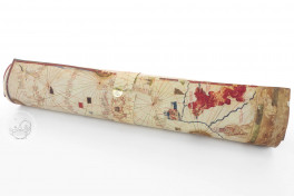
- Portolano C.G.A.5.d (map in tube) facsimile edition published by Il Bulino, edizioni d'arte, 2002
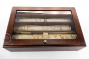
- Portolani (set of 3 maps in case, includes C.G.A.5.d) facsimile edition published by Il Bulino, edizioni d'arte, 2004
- Portolani (set of 3 maps in deluxe wooden case, includes C.G.A.5.d) facsimile edition published by Il Bulino, edizioni d'arte, 2004

