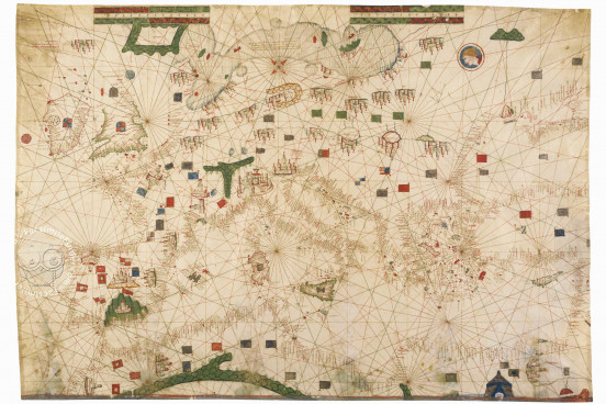
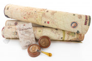
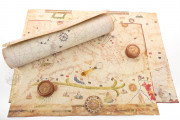
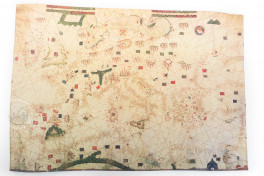
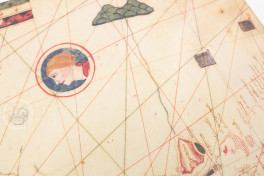
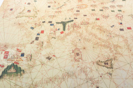
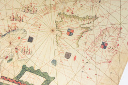
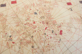
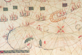
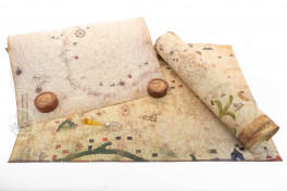
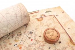
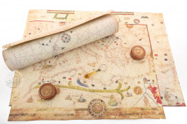
This unsigned nautical chart is attributed to the cartographer Petrus Roselli, who is known to have been active from 1446 until 1468 in Majorca. Its geographical accuracy and abundant information are remarkable. It combines inscriptions and pictures in a complete and accurate representation of the Mediterranean, North Africa, and Europe, showing the geographical and cartographic knowledge available in fifteenth-century southern Europe.
The chart includes abundant details, including representations of cities, flags, and banners. As is customary in the charts of the time, the real and the mythical coexist, something that makes this map an important reflection of geographical ideas dominant in Europe before the discovery of the Americas.
A Visual Description of the World Known to Europeans
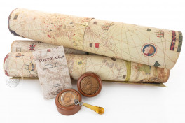
This chart is made on a single piece of parchment. Manifestly trimmed, it measures 61 × 90 cm. Oriented to the north, it portrays Europe and North Africa, from Norway to Morocco, as well as the Near East and the British Isles.
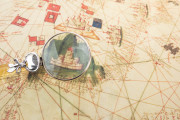
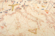
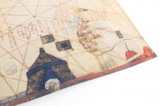
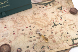
According to the tradition of early modern nautical charts, the coastlines, full of place names, are accurately depicted, and drawings indicate the most important cities, Genoa being the most prominent. The chart was rotated as it was read, and all coastal city names are inscribed starting at the coast and continuing inland, with the names of more important cities in red.
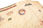
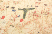
Several flags, banners, and coats of arms are present on the chart, indicating the sovereignty of the various crowns and powers. Mountain ranges are depicted in green, such as the Alps and the Sierra Nevada in Europe, and the Atlas Mountains in Africa.
Petrus Roselli and the Catalan Style
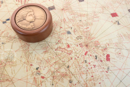
On the eastern edge of Africa, a green and blue tent indicates the local ruler. This detail and the decorative treatment of the mile scales, as well as the presence of thirty-two rhumb lines radiating from the central wind rose, are features that point to Petrus Roselli as the chart's maker.
Ten extant portolan charts are signed by Roselli, and another three, including the Modena chart, are attributed to him. He made his career on Majorca and seems to have worked mostly in Palma. His charts, exemplified by the one in Modena, are representative of the Catalan style of portolan chart, with exuberant detail including topographic features and cities of the interior, so that, for example, Paris and Babylon are represented by bird's eye view vignettes. It is this plethora of detail not necessarily of much use in navigating the seas that is the hallmark of the style.
An Este Family Treasure
The chart is known to have been in the Palazzo Ducale in Modena in 1859, at the time that Francesco V d'Austria-Este (1819-1875) was Duke of Modena. How long it had been in the Este family is unknown. After the disruptions of the Franco-Austrian War that eventually led to the unification of Italy in 1861, the chart resurfaced and was donated, together with three other maps, to the Biblioteca Estense Universitaria by its librarian Giuseppe Boni in 1870.
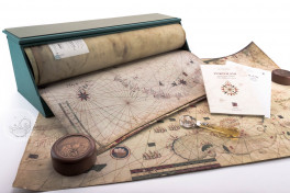
We have 3 facsimiles of the manuscript "Portulan C.G.A.5.b":
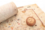
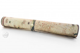
- Portolano C.G.A.5.b (map in tube) facsimile edition published by Il Bulino, edizioni d'arte, 2002
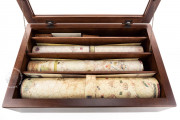
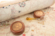
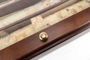
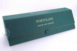
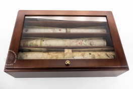
- Portolani (set of 3 maps in case, includes C.G.A.5.b) facsimile edition published by Il Bulino, edizioni d'arte, 2004
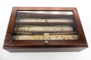
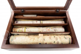
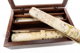
- Portolani (set of 3 maps in deluxe wooden case, includes C.G.A.5.b) facsimile edition published by Il Bulino, edizioni d'arte, 2004

