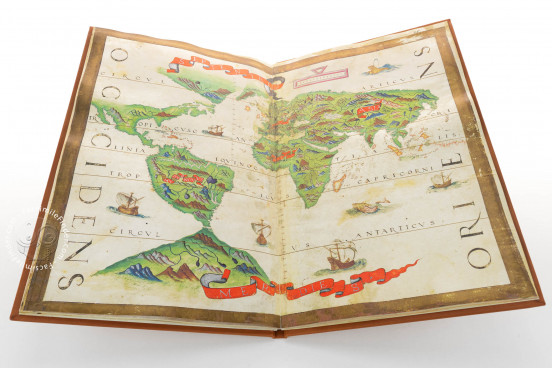
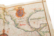
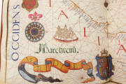
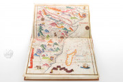
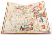
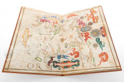
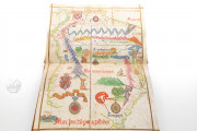
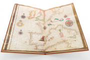
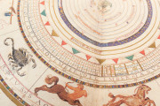
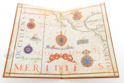
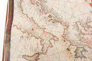
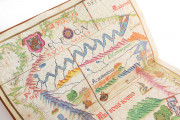
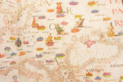
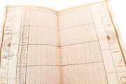
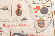
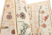
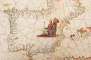
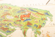
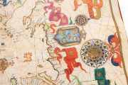
This beautiful example of early cartographic art, attributed to the Portuguese mapmaker Diogo Homem (d. after 1576), is datable to around 1565. Probably made in Venice, its nineteen large sheets of parchment comprise sixteen nautical charts, supplemented by calendrical and astronomical diagrams and charts. The charts are lavishly decorated with vignettes of regional rulers, cities, ships, flags, and banners.
The atlas has earned the name "universal" for the inclusion of a world map (sheet 15) and its ambitious scope, mapping—as it does—nearly the earth's coastlines, from Scandinavia to Antarctica. It is also a fine example of a collection of maps as a work of art.
A Work between Cartography and Art
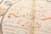
Following the tradition of portolan charts designed for practical use in navigating the seas, the maps feature networks of rhumb lines—paths with constant bearings relative to magnetic north—in colored inks, which radiate from compass roses. Also traditional are the abundant place names along the accurately rendered coastlines, and flags, banners, and shields mark territorial domination.
Cities, Animals, Ships, and Sea Monsters
Despite the traditional features of maps for seafaring, Homem's atlas was not intended for practical use, and the continents are as much a subject as the seas. Each chart is a delight for the eye, filled with colorful detail. Vignettes of enthroned regional rulers dot the landmasses, which include topographical details of rivers, mountains, and cityscapes, as well as native animal species. Ships are depicted sailing the seas, which are populated by fishes, whales, and sea monsters. A scene labeled "cannibals of Brazil" is included on the map of the eastern part of South America (sheet 4). Each map has a painted frame, and most include colorfully painted banderoles announcing their content.
A Large Enterprise
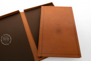
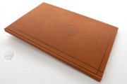
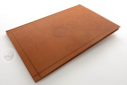
More than one person was involved in creating the Universal Atlas, but the enterprise was supervised by Diego Homem. Although now without a title page or binding, the sheets were once sewn together along a central fold. The maps are reasonably up to date, but there are no particular innovations. The strait near the southern tip of South America navigated by Ferdinand Magellan in 1520 is included on the world map, but Japan is shown on a traditional model and California includes few place names.
Diogo Homem, an Outstanding Cartographer
Diogo Homem was part of a family of cartographers; his father, Lopo Homem, is especially famous for the Miller Atlas. Diogo worked in Lisbon until he was exiled to Morocco in 1544 for his involvement in a murder. After obtaining a pardon in 1547, he lived and worked in England. He settled in Venice by 1567, where achieved fame as the maker of maps of high artistic quality.
A Remarkable Rediscovery for Modern Scholarship
The Universal Atlas was first recognized as the work of Diogo Homem in 1957 by Armando Cotesão. Acquired in Spain by the Polish bibliophile Jósef Sierakowski (1765-1831), it was purchased for the Imperial Public Library by Czar Alexander III (1845-1894) in 1860. In 1918, the library was renamed the Russian Public Library, which was known from 1932 to 1937 as the Saltykov-Shchedrin State Public Library and is now the National Library of Russia.
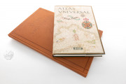
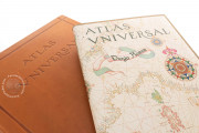
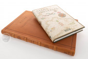
We have 1 facsimile edition of the manuscript "Universal Atlas of Diogo Homem": Atlas Universal facsimile edition, published by M. Moleiro Editor, 2002
Request Info / Price
