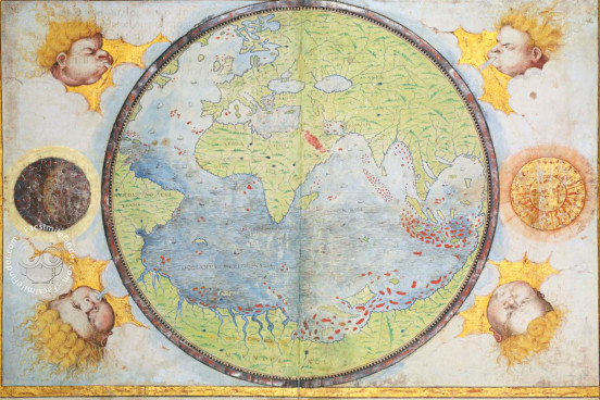
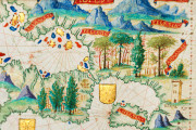
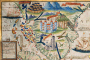
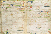
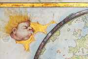
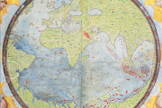
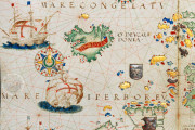
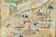
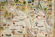
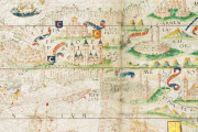
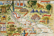
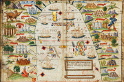
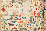
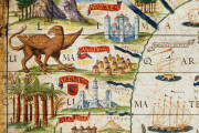
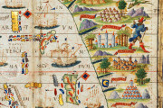
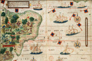
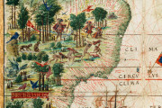
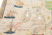
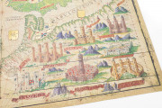
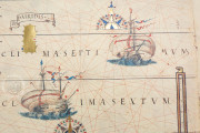
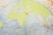
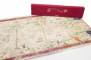
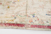
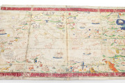
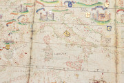
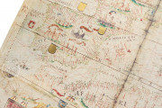
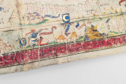
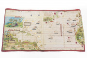
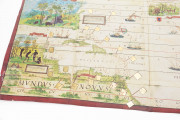
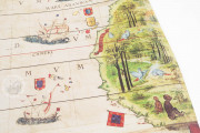
The Atlas Miller is justly considered one of the most beautiful Renaissance cartographic documents from Portugal. The map, also known as Lopo-Homem-Reineis Atlas, was written and illuminated in the first quarter of the sixteenth century and it represents the last attempt to prevent Ferdinand Magellan’s first circumnavigation of the world. With its iconography and mysteries lying behind its illustrations, it has certainly represented a puzzle waiting to be deciphered.
Atlas Miller: a Synthesis of Portuguese discoveries and the Ptolemaic view
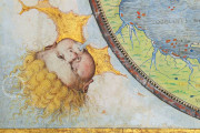
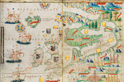
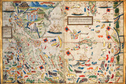
From an iconographic standpoint, the Atlas Miller is a truly astounding work decorated by the hand of a Flemish artist: António de Holanda. The work displays four continents – one still unknown at the time – and combines information gathered from Portuguese discoveries with the Ptolemaic view of the world.
While the iconographic apparatus was created by António de Holanda, the cartographic details are the work of Pedro Reinel, his son Jorge Reinel, and Lopo Homem. In all, the production of what is considered the most important and significant map made in Europe took about three years to make, from 1519 to 1522.
Manuel I of Portugal and Leonor of Aragon
The commissioner of the work has been identified in the person of Manuel I of Portugal, also known as the “Pepper King”, for Leonor, sister of Emperor Charles V, however, it appears that she never received it as the atlas has come down to us with the last two pages incomplete.
After several years studying the real reasons behind the creation of this work, in addition to love of the arts, it seems that it was intended for the eyes of Charles V, for it was a document that secretly contained geopolitical and diplomatic counterinformation.
The Atlas Miller: a Tool of Geopolitical and Diplomatic counterinformation
The reason behind the importance of the Atlas Miller is that it secretly denies the idea that the actual circumnavigation of the globe was possible. Indeed, the Atlas Miller was made to hinder Magellan’s voyages and, in turn, Magellan’s journey was made to counter the Atlas Miller.
The Atlas Miller represents the Portuguese view of the world intended to counter Castile’s view of the globe. Indeed, the map – featuring the sea as stagnon – well fitted the Portuguese vision that it was not possible to sail westwards to reach the other side of the world.
The life of the map remains obscure. What is certain is that this remarkable document is currently treasured in the Bibliotheque National de France.
We have 1 facsimile edition of the manuscript "Atlas Miller": Atlas Miller facsimile edition, published by M. Moleiro Editor, 2003
Request Info / Price
