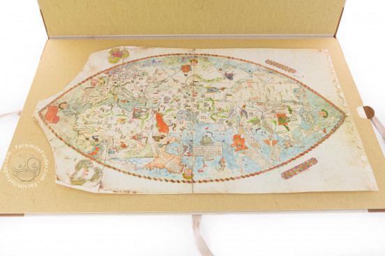
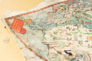
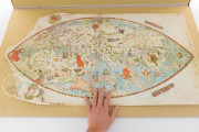
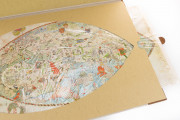
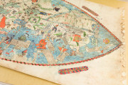
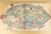
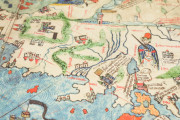
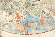
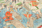
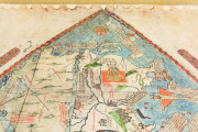
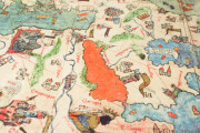
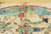
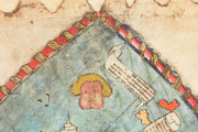
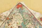
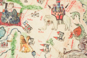
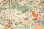
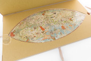
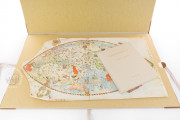
Crafted by an anonymous author in 1457, the so-called Genoese World Map of 1457 (75 x 37 cm) is generally regarded as a transitional or hybrid map, since it combines medieval mappae mundi with portolan charts, Ptolemaic data and firsthand observations of contemporary travelers. The map derives its name from the inclusion of the coat of arms of the Republic of Genoa in its upper left corner, along with the coat of arms of the Spinola family, a prominent Italian political dynasty centered in the Republic of Genoa, found in the lower left corner.
The Influence of Niccolò de' Conti's Asian Journeys
The Genoese World Map of 1457, incorporating Ptolemaic projections, draws extensively from the travels undertaken in Asia by the Venetian merchant Niccolò de' Conti (1395-1469), who made a long journey to the Indies between 1414 and 1439. He left from Damascus to Baghdad, went down the Euphrates, traveled along the coast of the Arabian peninsula, and reached India. He touched on Deccan and Ceylon, continuing to Madras and Sumatra. He visited parts of Indochina, Java, and returned through Calicut, the island of Socotra, Aden, and Cairo, from where he returned by ship to his homeland.
Precision in Geography and Persistence of Mythical Elements
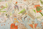
Compared to the Fra Mauro Map and other previous maps, the Genoese World Map of 1457 represents coasts and territories with more precision. However, it still depicts the legendary demonic peoples of Gog and Magog, islands with enchanting sirens and cannibals, and sea monsters in the Indian Ocean. On the map, the mythical Prester John is indicated at the sources of the Nile, whereas in previous maps he was placed in Asia, and the Great Khan in China.
The island of Ceylon is called Xilam. The African continent is shown as completely circumnavigable, particularly interesting for its precision before the Portuguese passed the southern tip named Cabo de todos tormentos and later Cape of Good Hope. In the middle of the Indian Ocean, there is a drawing of a three-masted ship. And then the Asian coasts are well delineated with Indochina, Java, and Sumatra.
A Step towards Modern Cartography?
It is noteworthy that the Earthly Paradise is no longer represented on this map and this feature could suggest a step towards modern cartography models of mapping space. Following the notes of Niccolò de' Conti reported by the humanist Poggio Bracciolini in his work De varietate fortunae "... some painted in this region the Paradise of Delights, others placed it in India saying it was in the east, but since this is drawn from a description by cosmographers who give no news of it, here it is omitted to speak of it...".
The Genoese World Map of 1457 was sent to the Portuguese court in 1474 and is currently Italian property, treasured at the Biblioteca Nazionale Centrale in Florence.
_____
For the description of this document, the following essay has been consulted: Brunnlechner, Gerda (FernUniversität, Hagen), The so-called Genoese World Map of 1457: A Stepping Stone Towards Modern Cartography? in "Peregrinations: Journal of Medieval Art and Architecture" Kenyon College, Volume 4, Issue 1, pp. 56-80, 2013
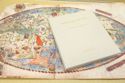
We have 1 facsimile edition of the manuscript "Genoese World Map of 1457": Mappa Mundi 1457 facsimile edition, published by Istituto dell'Enciclopedia Italiana - Treccani, 2008
Request Info / Price
