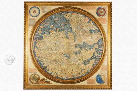
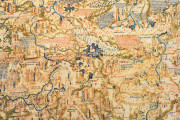
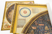
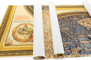
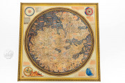
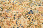
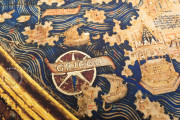
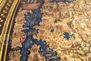
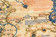
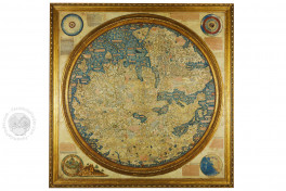
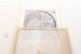
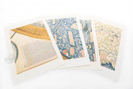
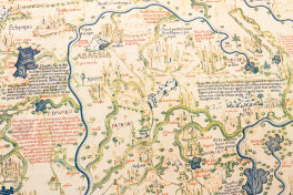
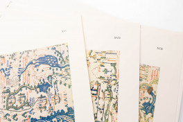
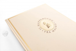
Designed in the mid-fifteenth century in the Venetian monastery of San Michele di Murano by the Italian monk and cartographer Fra Mauro, this map is one of the milestones in the history of cartography. Known by the name of its creator, the Fra Mauro Map is a stunning compendium of geographical knowledge of its time, written on a huge piece of parchment. It contains hundreds of lavish illustrations and 2991 inscriptions, several of which are highlighted in gold leaf. The accuracy of its image of the world, its material quality, and the huge variety of information it provides make the Fra Mauro map one of the most remarkable cartographic works of the Early Modern period.
All the Knowledge of the World in a Map
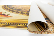
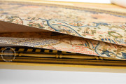
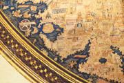
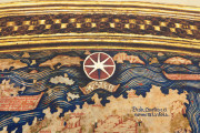
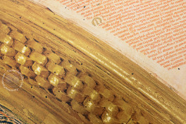
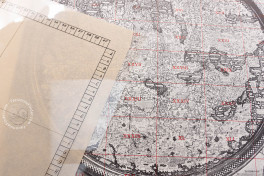
This map is painted on a very large piece of parchment, measuring 195 x 193 cm and assembled on a support made of poplar wood. A gilded wooden circular frame encloses the depiction of the known world.
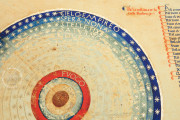
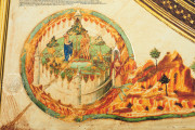
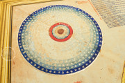
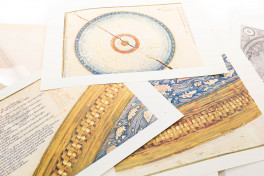
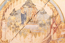
Outside that circle, a series of texts and illustrations show a map of the solar system, a diagram of the four elements, a depiction of Earthly Paradise and a diagram of the earth with the Equator, the two tropics, and both Poles.
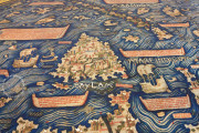
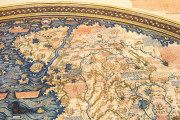
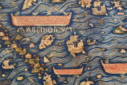
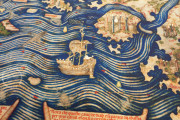
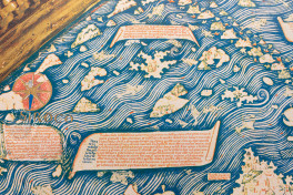
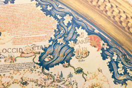
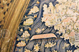
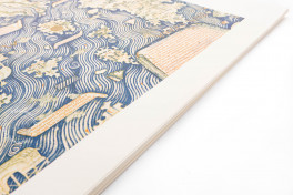
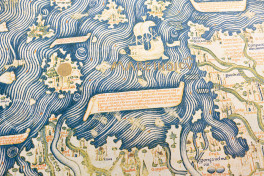
Oriented with the south at the top, the map combines lavish red, blue, and golden colors for the scripts, and the ocean is marked with white-blue waves and filled with beautiful ships and sea creatures.
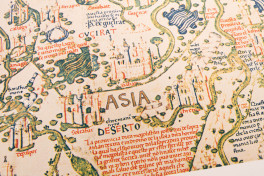
Europe, Asia, and Africa are depicted with high accuracy, especially the European continent and the Mediterranean coast, the geographical areas best known by Fra Mauro. The map contains information from many different sources; the author consulted not only textual works like Pliny, Ptolemy, Marco Polo, and many others, but also previous maps and oral sources as well. Thus, the map is a very remarkable summary of the knowledge of the world available in the fifteenth century.
Fra Mauro: Monk, Cartographer, and Geographer
Isolated in the camaldolese monastery of San Michele, in the Venetian island of Murano, Fra Mauro developed a cartography workshop that produced several maps and portolan charts. The monk was aware of the geographical innovations and discoveries of his time, taking advantage of his access to the monastery’s library and the stories he heard from the merchants and mariners that arrived in Venice after their long voyages.
The quality of the maps designed by Fra Mauro and his workshop persuaded King Afonso V of Portugal to commission a world map from him, which was sent to Portugal to be held in the monastery of Alcobaça, but that map is lost and no information is available about it.
After that, Fra Mauro designed another world map (the one described here), which summarizes all geographical information available to him, with a level of accuracy and attention to detail never seen before.
This map was displayed in the monastery of San Michele until 1811, when it was transferred to the Biblioteca Marciana. Afterwards, it was placed in the room of the Great Council of Venice in the Ducal Palace, before it was finally returned to the Biblioteca Marciana in 1924, where it is still located.
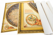
We have 4 facsimiles of the manuscript "Fra Mauro Map":
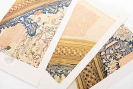
- Fra' Mauro's World Map - Facsimile Finder edition facsimile edition published by Imago, 2016
- Mappamondo di Fra Mauro facsimile edition published by Editalia, 2015
- Mappamondo di Fra Mauro facsimile edition published by Imago, 2015
- Il Mappamondo di Fra Mauro facsimile edition published by Istituto Poligrafico e Zecca dello Stato, 1956

