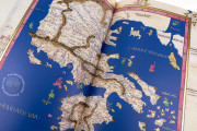
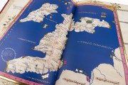
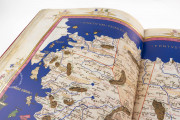
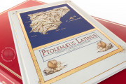
Produced in Florence by the German cartographer Nicolaus Germanus (c. 1420 – c. 1490), this manuscript work is an outstanding piece of art that shows the new geographical and cartographical trends in fifteenth-century Southern Europe. This Latin translation of the Geography, which was written in Greek in the second century A.D. by the geographer Claudius Ptolemy, is illuminated with gold, blue, red, and striking colors, and is dedicated to Pope Paul II. The maps, full of details and place names, are lavishly decorated in a Renaissance style.
The manuscript was commissioned by the Hungarian prelate János Vitéz, who may have passed away before the work was finished. In the sixteenth century, a second world map was added to the manuscript, showing the recently discovered New World.
A Lavish Union Between Art and Cartography
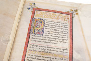
The manuscript is formed by 133 parchment folios, measuring 44.4 x 30 cm. At the beginning of the first folio we can read a dedication to Pope Paul II, written by Nicolaus Germanus.
The best materials of the time were used for the creation and decoration of this manuscript. We can see an abundant use of lavish gold, red, and lapis lazuli, and the high quality both of the parchment and the script and illumination is undeniable.
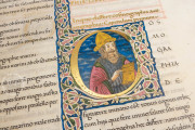
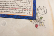
We can see a typical Renaissance decoration all over the manuscript, which is enriched with vegetal motifs and cherubs or putti. On fol. 2r there is a portrait of Ptolemy, who holds a compass and a book.
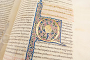
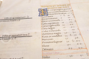
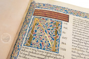
The titles of the different chapters of the work are written in gold, and the initials, also in gold, are lavishly decorated with vegetal motifs in white, red, green, and blue.
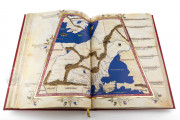
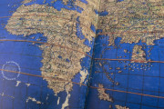
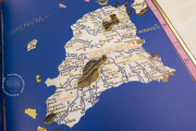
The text of the Geographia occupies the first seventy-two folios of the manuscript. The rest of it, from fol. 73r to fol. 133r, is occupied by the cartographic section. This section is formed by thirty maps, many of which cover a double page. The maps included in the manuscript are:
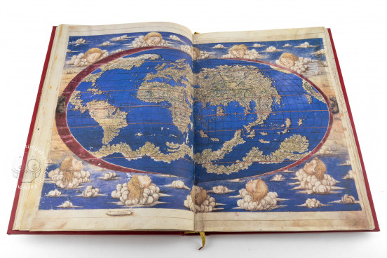
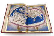
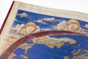
- Two world maps, the first Ptolemaic, and the second added in the sixteenth century (fols. 73v-74r and 74v-75r).
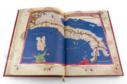
- Thirteen maps of Europe (fols. 76v-101r).
- Four maps of Africa (fols. 102v-109r).
- Twelve maps of Asia (fols. 110v-133r).
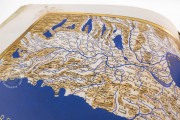
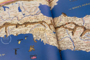
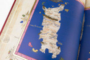
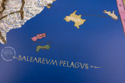
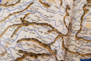
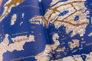
Like in the rest of the manuscript, the maps are lavishly illuminated, with the seas, oceans, and rivers in an intense blue, mountains in brown, and forests in green. The place names are abundant, and the maps are enclosed by a red band with scales of latitude and longitude, as well as by a golden frame and vegetal motives.
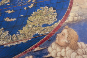
Both world maps, on fols. 73v-74r and 74v-75r, are surrounded by heads of cherubs representing the winds. The interrelation between text and image is fundamental in this work, as the maps are accompanied by brief explanatory texts.
The text in the manuscript is written in an elegant humanistic script. We can see the coat of arms of the Chigi Family, i.e. the family of Pope Alexander VII, under whose pontificate the manuscript was added to the Vatican Library, where it is currently held under the shelfmark Urb. Lat. 274.
The Story of a Luxury Manuscript
It is believed that this manuscript of Ptolemy's Geographia was made in the late 1460s or early 1470s. The coat of arms in the first folio allows us to think that it was a commission by János Vitéz, a distinguished Hungarian prelate, who was the provost and bishop of Nagyvárad, and who became archbishop of Esztergom in 1465.
In 1471, Pope Paul II designated him as a cardinal, but Paul passed away before the position was confirmed. Vitéz died in August 1472, and the manuscript was perhaps never sent to Hungary.
The work became part of the library of the Dukes of Urbino and was held there until Pope Alexander VII transferred the library’s manuscripts to the Vatican Library in 1657.
Binding description
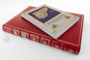
The volume is lavishly bound in red leather, and the covers are decorated with golden threads.
We have 1 facsimile edition of the manuscript "Urb. Lat. 274 Ptolemy": Tolomeo Vaticano facsimile edition, published by Testimonio Compañía Editorial, 2005
Request Info / Price
