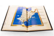
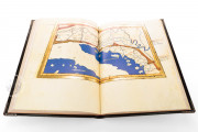
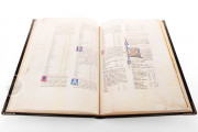
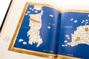
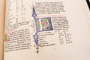
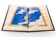
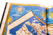
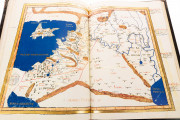
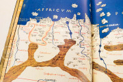
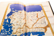
The Valencia Ptolemy is a lavish manuscript of the Latin translation of the Geography by the ancient Roman polymath Ptolemy. The codex was produced on the Italian peninsula before 1477. Divided into eight books, the text describes the regions and peoples of Europe, Africa, and Asia and offers a catalog of places with their latitudes and longitudes. The second half of the manuscript is dominated by twenty-seven maps of stunning beauty, most of which occupy two facing pages of the large book.
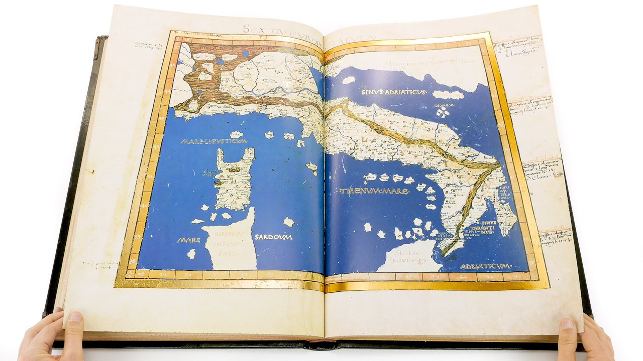
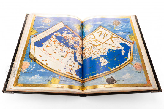
The manuscript includes all the maps of Ptolemy's original treatise: a mappa mundi (fols. 55v-56r), ten regional maps of Europe (fols. 57v-76r), four maps of North Africa (fols. 77v-84r), and twelve regional maps of Asia (fols. 85v-107v).
Glorious Azure and Precious Metals
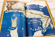
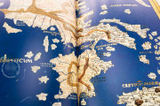
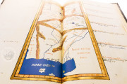
The maps of the Valencia Ptolemy glow with their golden frames and with water rendered in deep blue. The names of oceans and other major bodies of water appear in gold and silver Square Capitals, with more labels in white against the rich blue of the water. The land masses are the color of the unpainted parchment, and the mountains are painted a muddy yellow color, with contours indicated in brown and green.
The mappa mundi of the Valencia manuscript, presented in conical projection, features representations of the twelve winds as the heads of infants with curly locks and puffed-out cheeks blowing horns in a blue sky with wispy clouds.
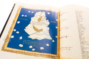
The regional maps are all in trapezoidal projection. Only the last map of Asia, showing Sri Lanka (labeled Taprobana insula) is confined to a single page (fol. 107v).
Ptolemy's Worldview
Indicated along the edges of the maps of the Valencia Ptolemy are the degrees of latitude and longitude; the maps thus can be used in conjunction with the catalogs of place names in the manuscript's text. Places are marked by a large gold or silver dot accompanied by the name written in black or red ink. Regional borders appear as dotted brown lines highlighted with colored washes. The regions are also labeled.
A Text with a Distinguished Pedigree
Ptolemy composed his Geography in Greek in the second century CE, correcting many errors of his predecessors. Jacopo D'Angelo translated the original Greek into Latin under the title Cosmographia, dedicating his translation to the Antipope Alexander V (d. 1410).
A Learned Maker
A Benedictine monk in his native Germany, Nicolaus Germanus relocated to Italy around 1464 and trained as a geographer. The Valencia Ptolemy is one of many maps and atlases he prepared for Italian princes. As the most reliable body of geographical information to survive from Greco-Roman antiquity, Ptolemy's text was prized by Italian humanists.
Illustrious Owners
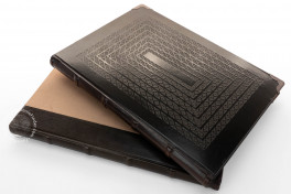
Early in its history, the Valencia Ptolemy came into the possession of Ferdinand of Aragon (1488-1550), Duke of Calabria. Ferdinand gave the book to the monastery he had founded in Valencia in 1545, San Miguel de los Reyes, whence it found its way into the Biblioteca Histórica. The current binding, dating from 1973, incorporates the remains of the manuscript's fifteenth-century leather covering.
We have 1 facsimile edition of the manuscript "Valencia Ptolemy": Atlas de Claudio Ptolomeo facsimile edition, published by Vicent Garcia Editores, 1983
Request Info / Price
