

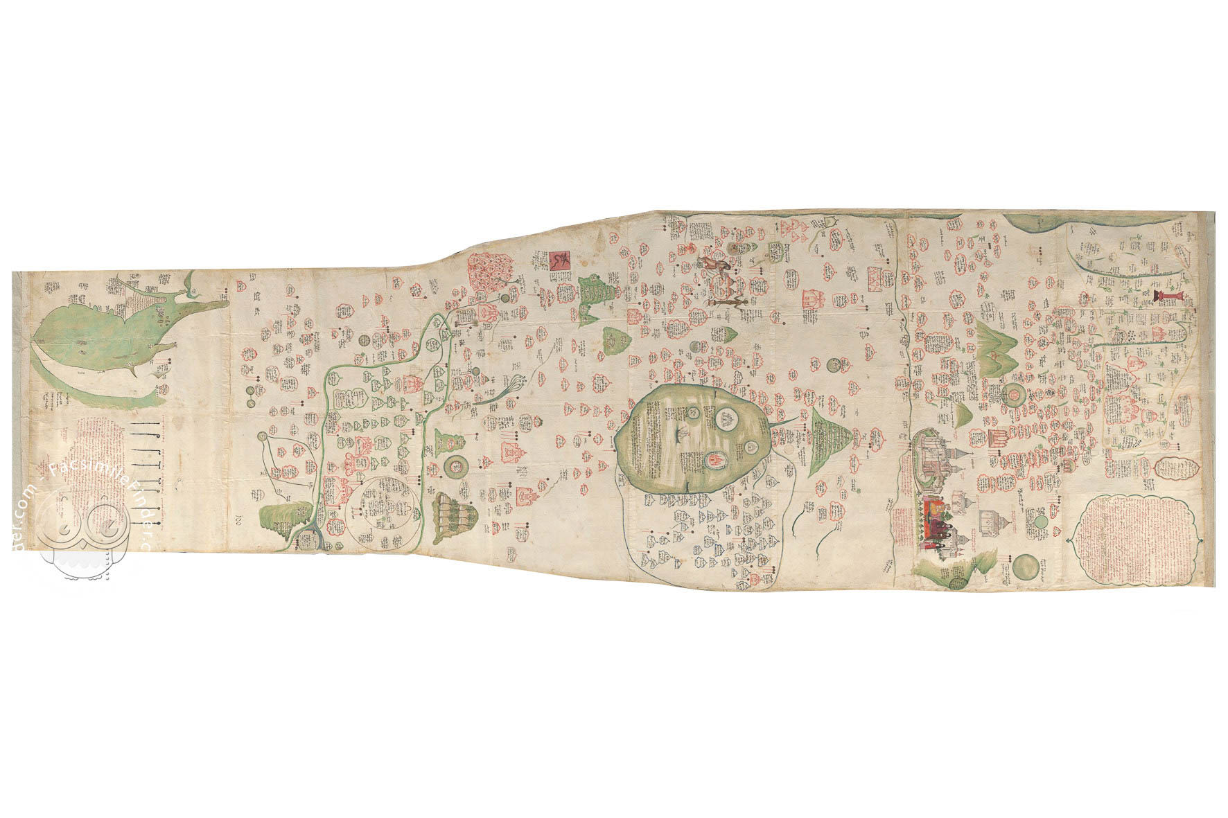


The Tabula Chorographica Armenica (literally "Armenian mapping chart") is an astonishing monument of cartography. Although a map in appearance, the Tabula is no tool to chart distances or guide movement. It is more an illustrated record of the history of the Armenian Apostolic Church in the Ottoman Empire. It was created in 1691 in Constantinople by Eremia K'ēōmiwrchean, working with his son Tēr Malak'ia, for Luigi Ferdinando Marsili. The map's colorful illustrations contribute to the wealth of light the map shines on Armenian culture of the time.
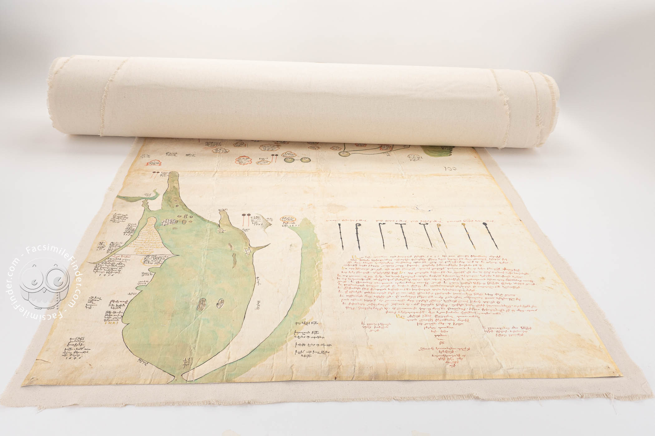
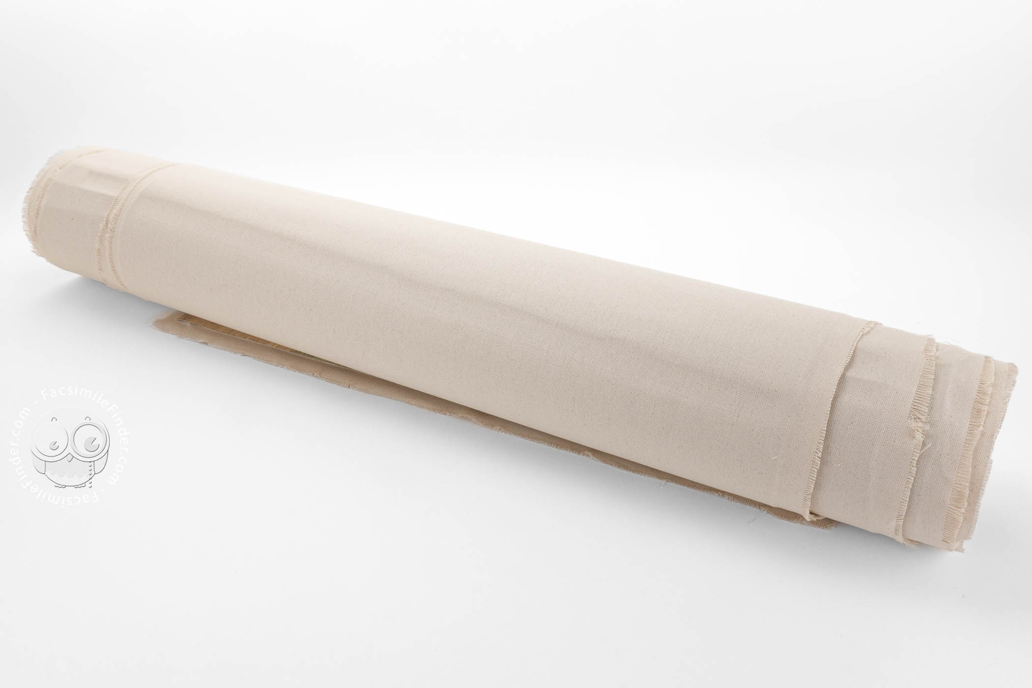
The map is an imposing object. More than 3 meters long, it is composed of sixteen pieces of paper mounted on muslin to create a visually captivating map of the territorial reach of Armenians through history.
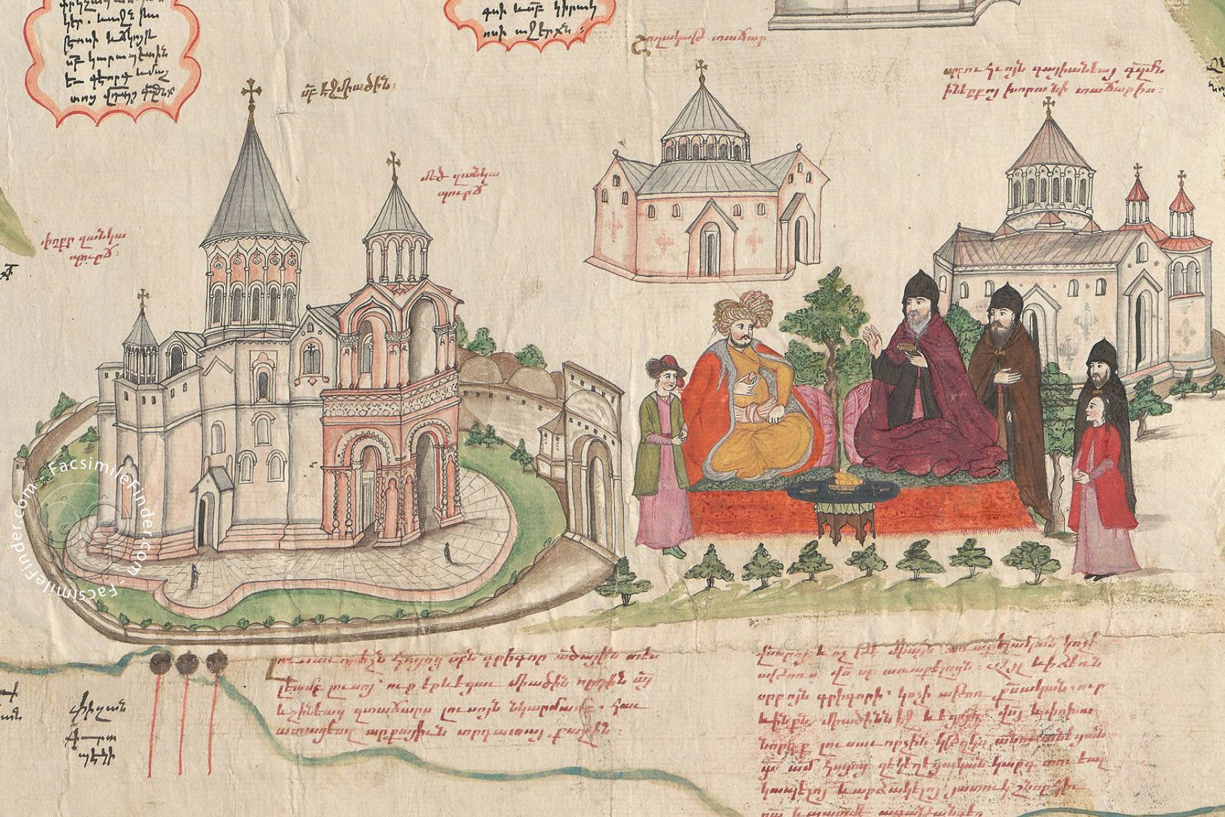
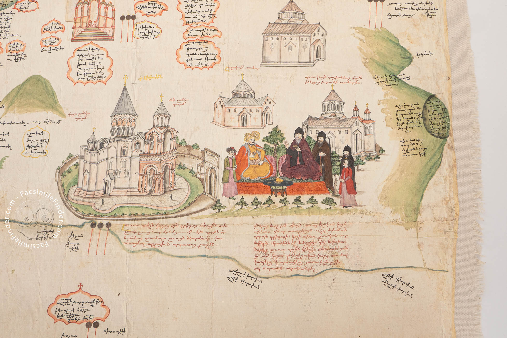
Spotlight on Etchmiadzin
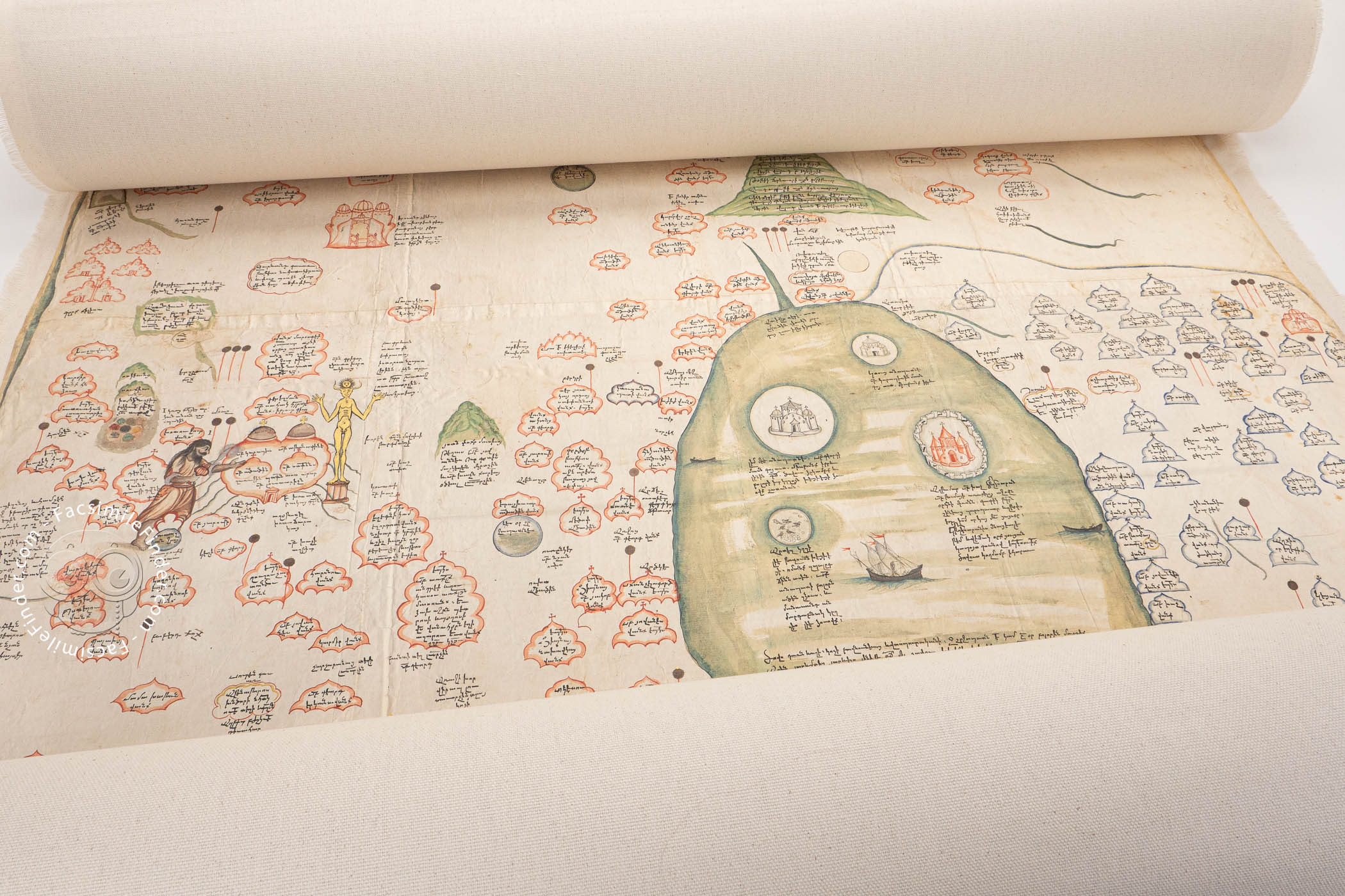
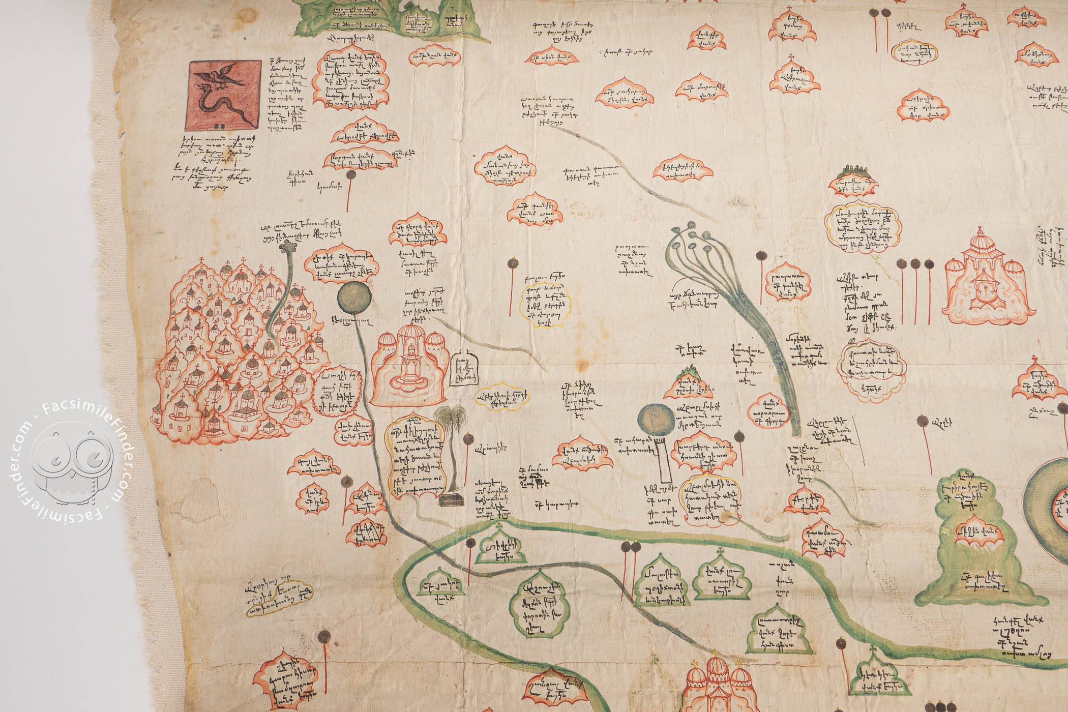
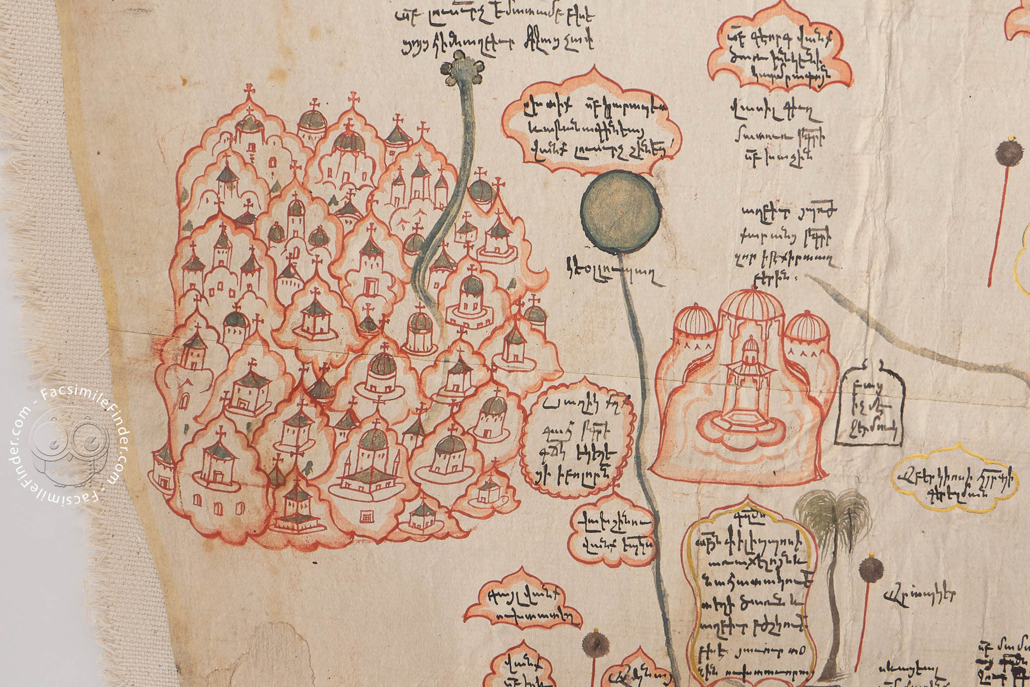
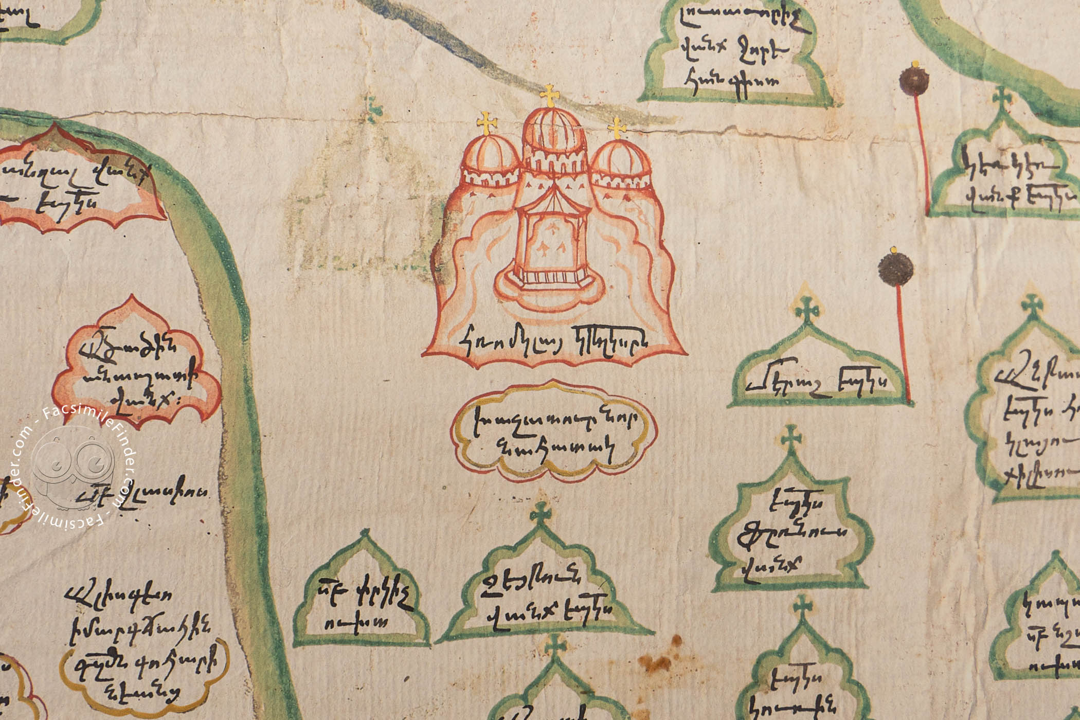
East is at the top, and the territory the map depicts extends from modern Iran south of the Caspian Sea (at the top) to the Black Sea (at the bottom). Its most detailed and eye-catching illustration shows the Catholicos of All Armenia receiving a Persian diplomat. They are seated together, each with his retinue standing nearby. The churches of the seat of the Catholicos, Etchmiadzen (in modern-day Türkiye), are pictured nearby. The twin peaks of Mount Ararat are shown at the right, and the four peaks of Mount Aragats at the left.
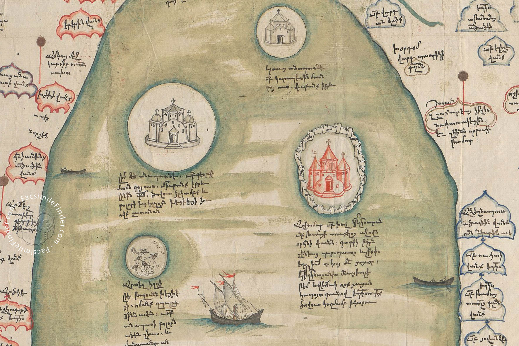
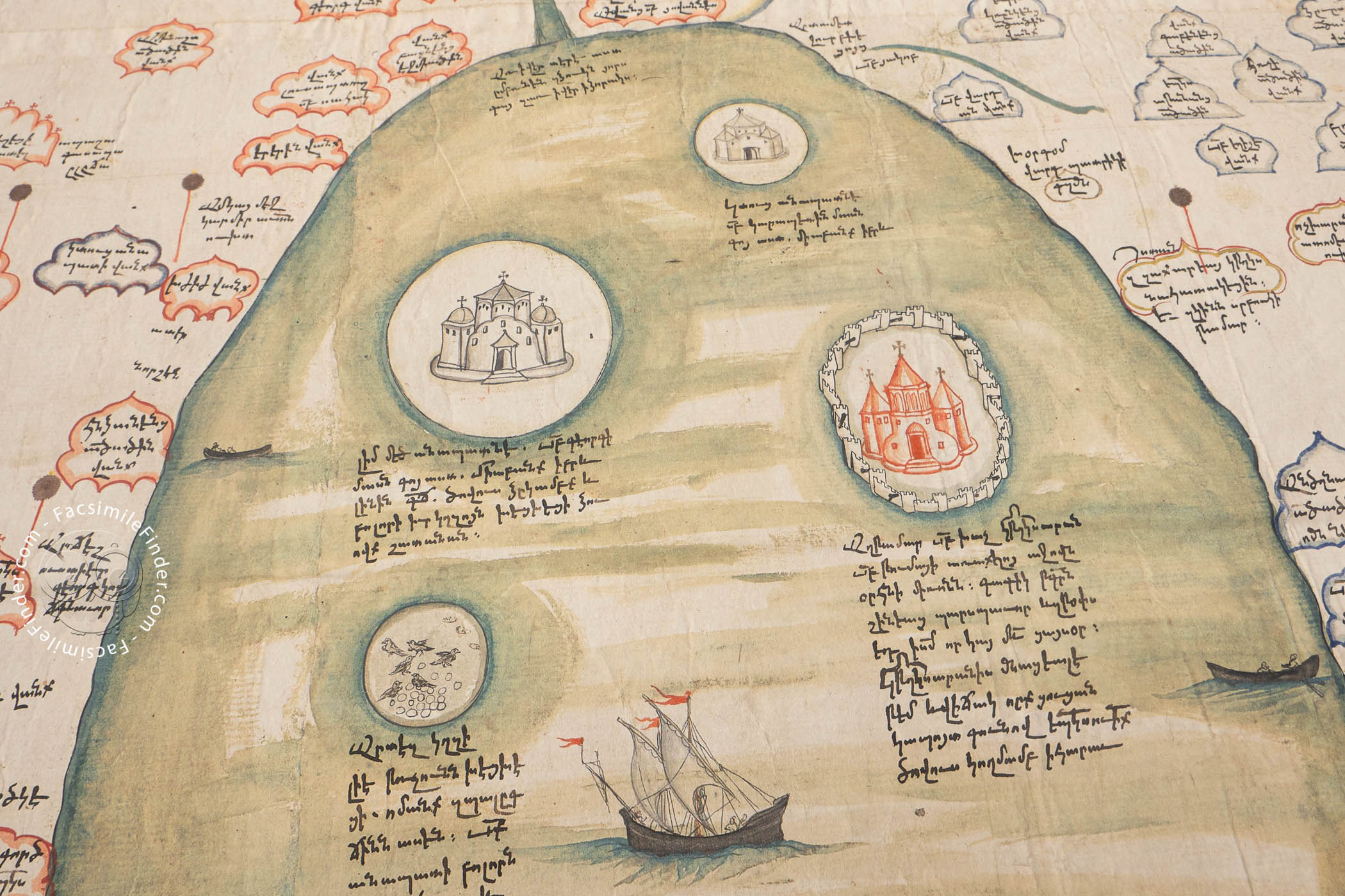
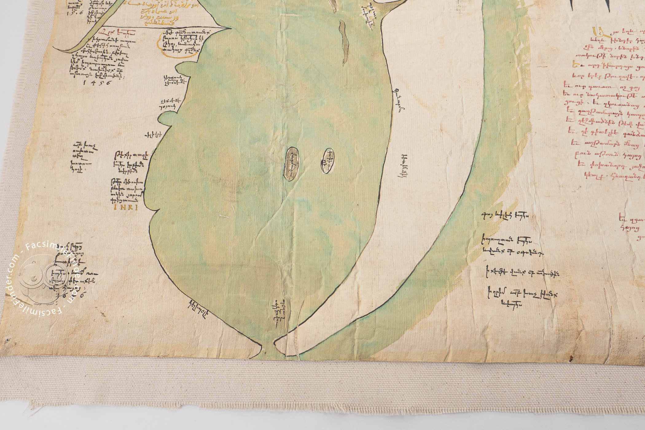
Lake Van at the Center
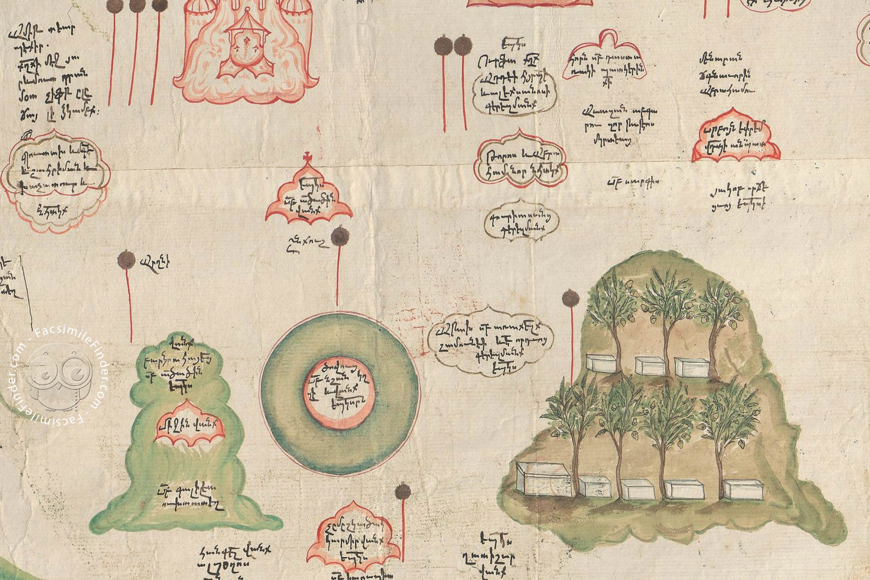
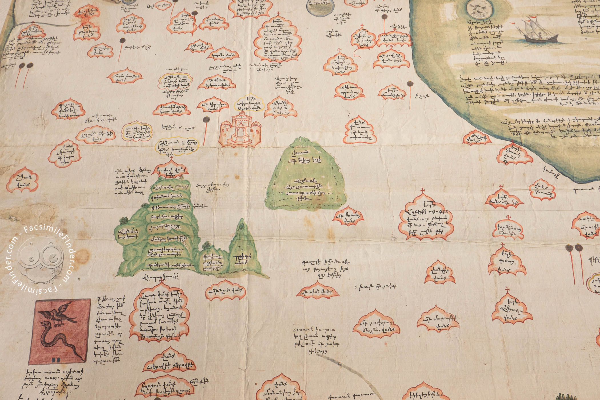
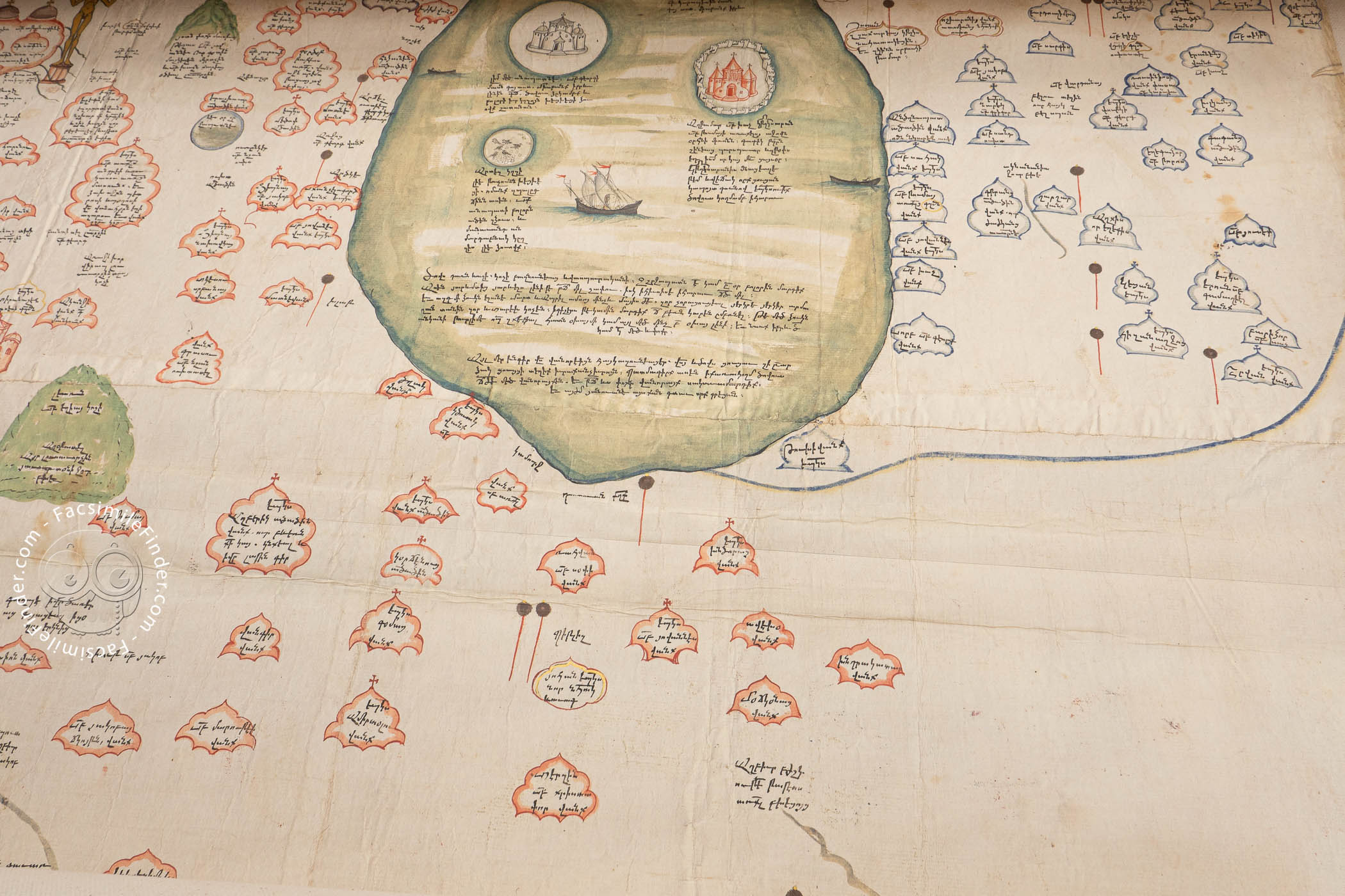
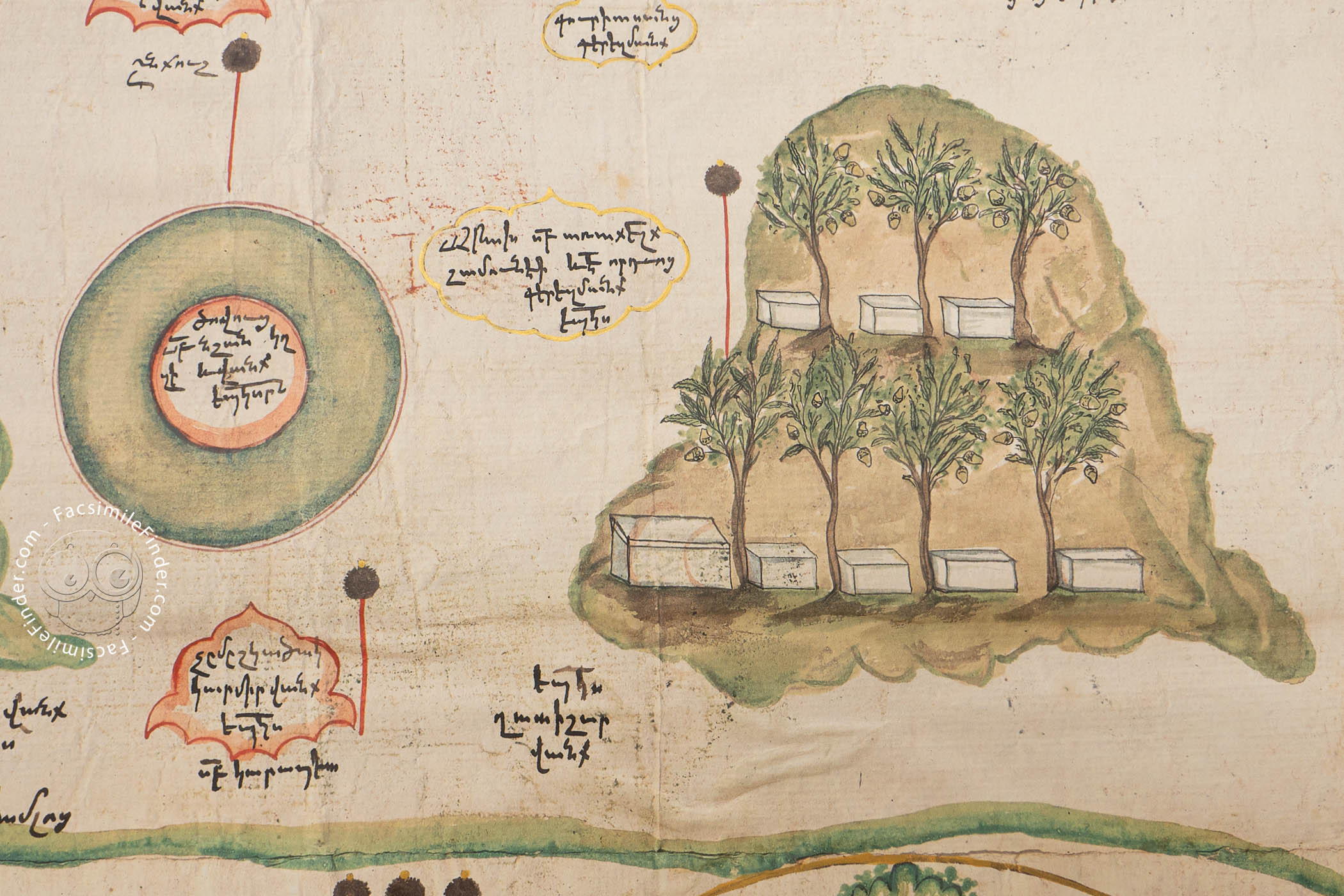
Bodies of water are colored green (as are mountains), and the largest is Lake Van, a focus area of Armenian dominance in the High Middle Ages, which appears near the center of the map. Its four major islands are clearly shown, and a sailing ship and two smaller vessels are pictured on its surface.
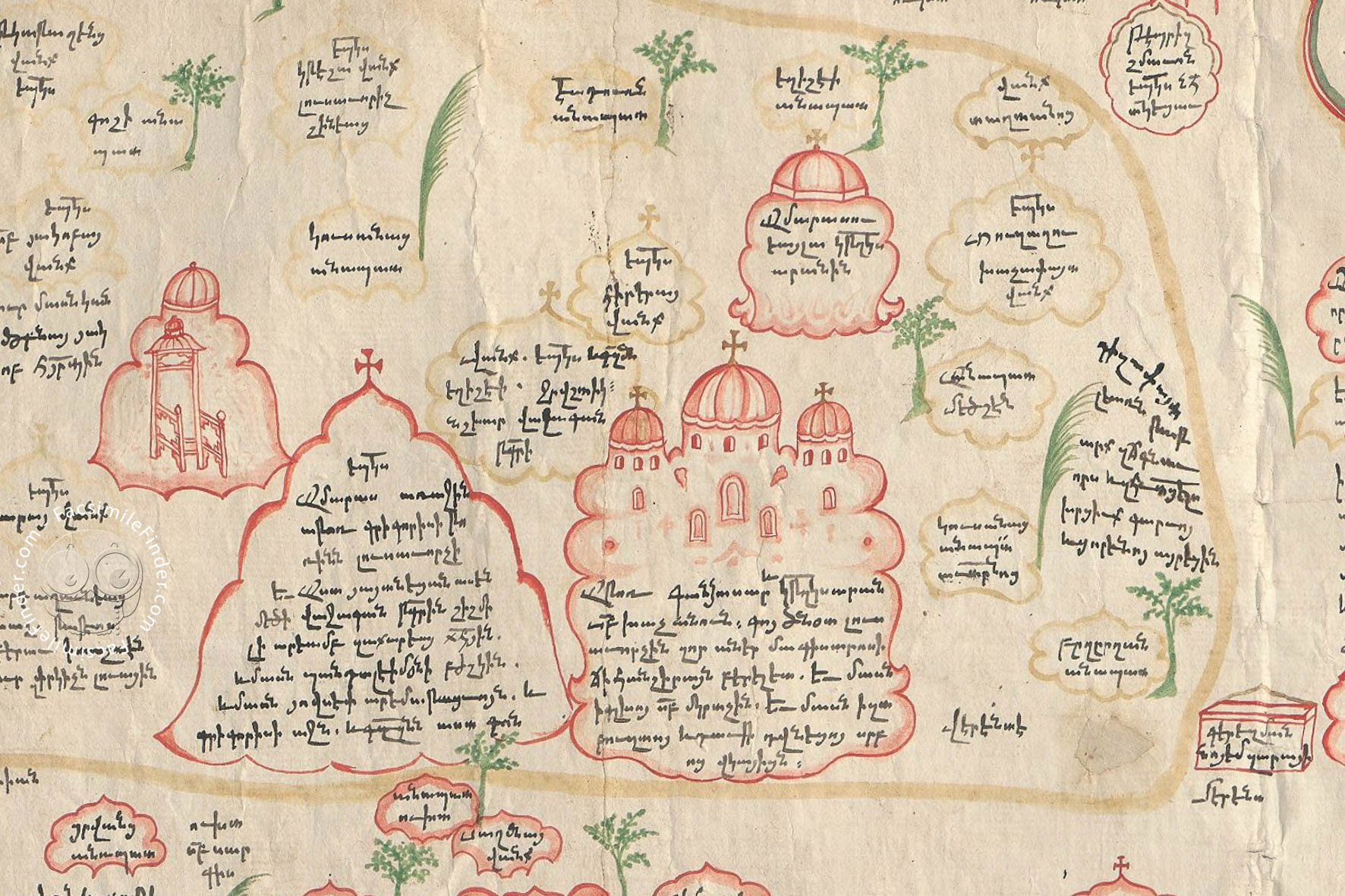
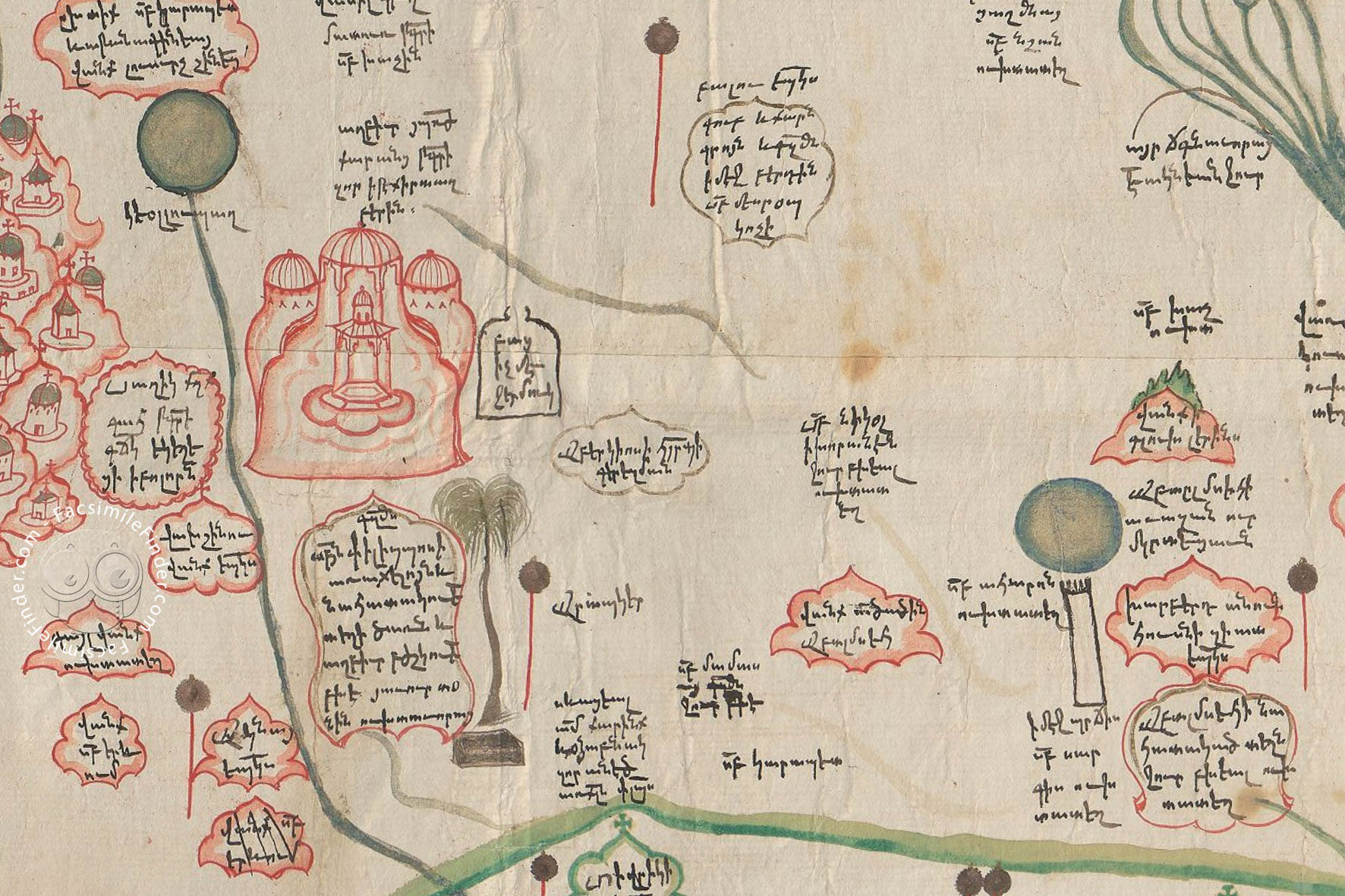
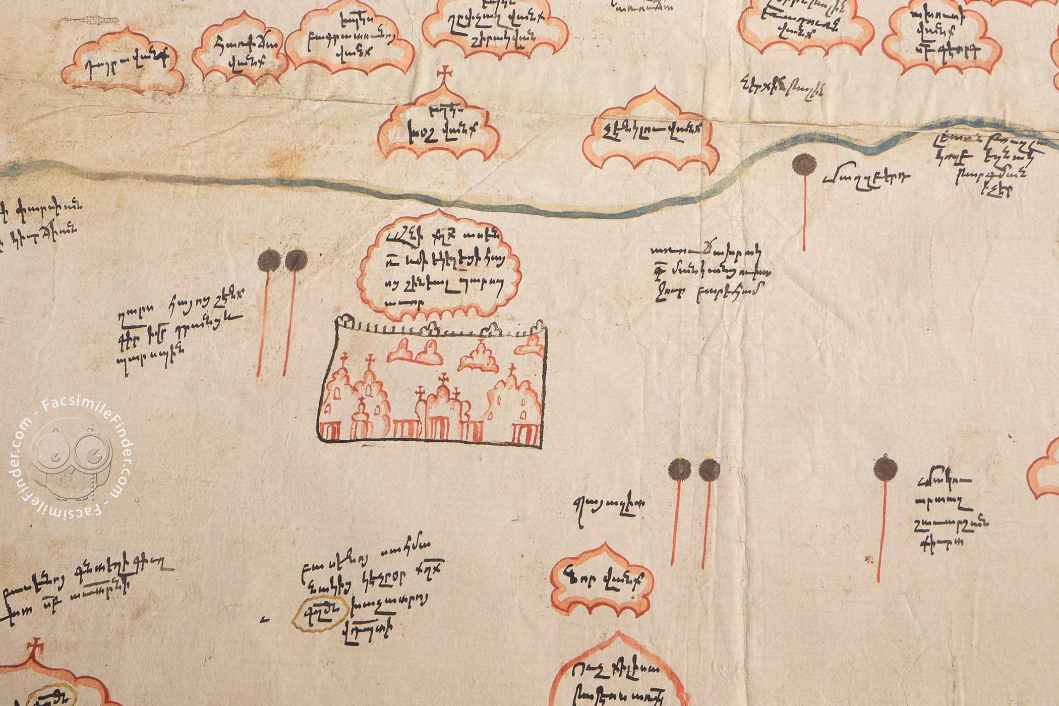
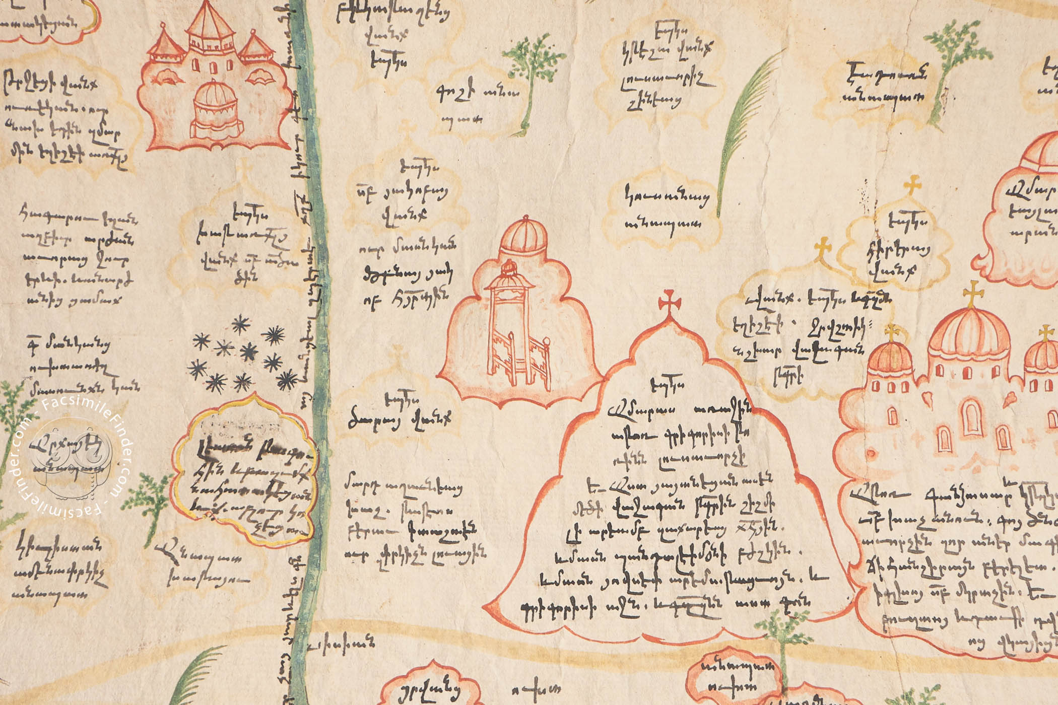
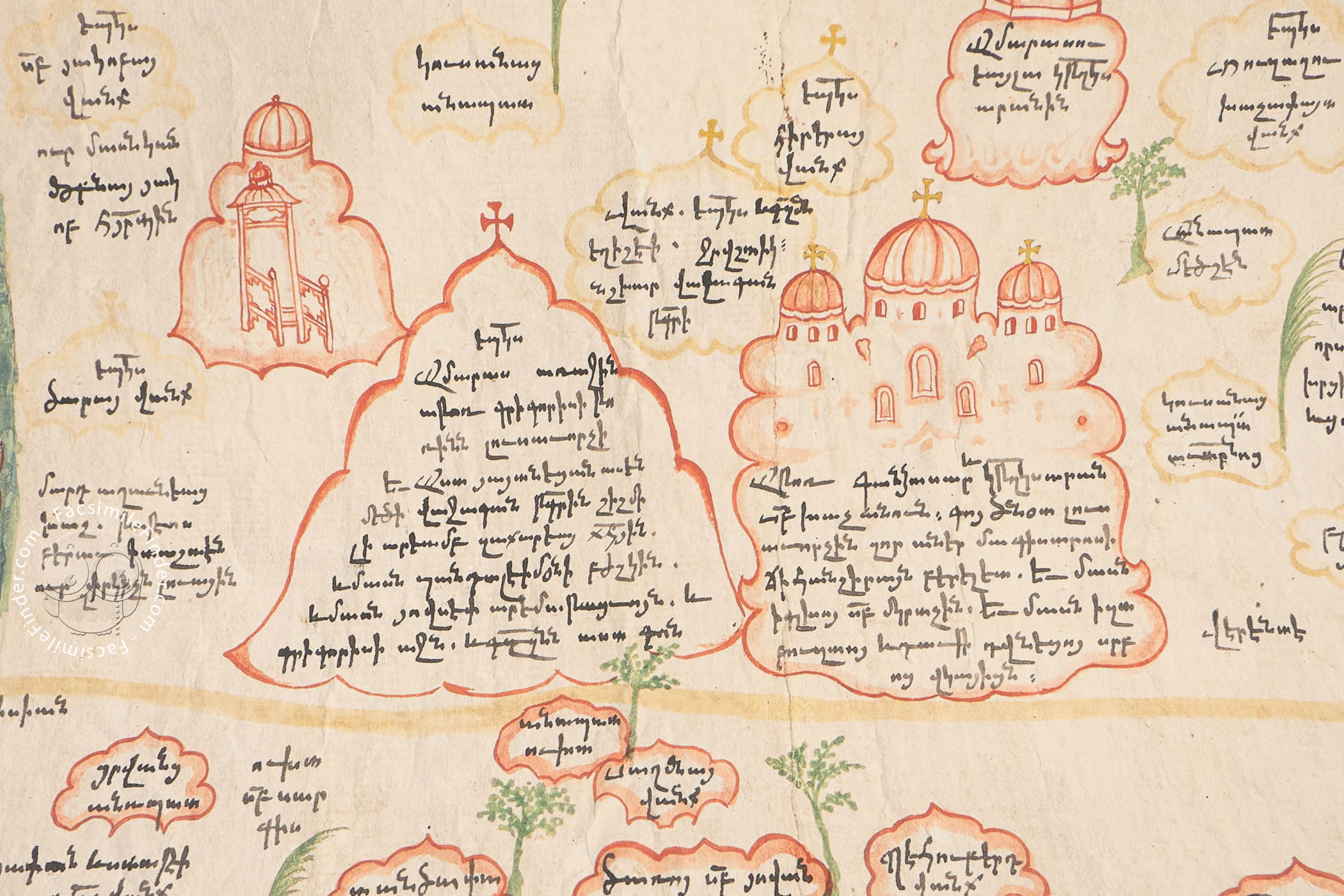
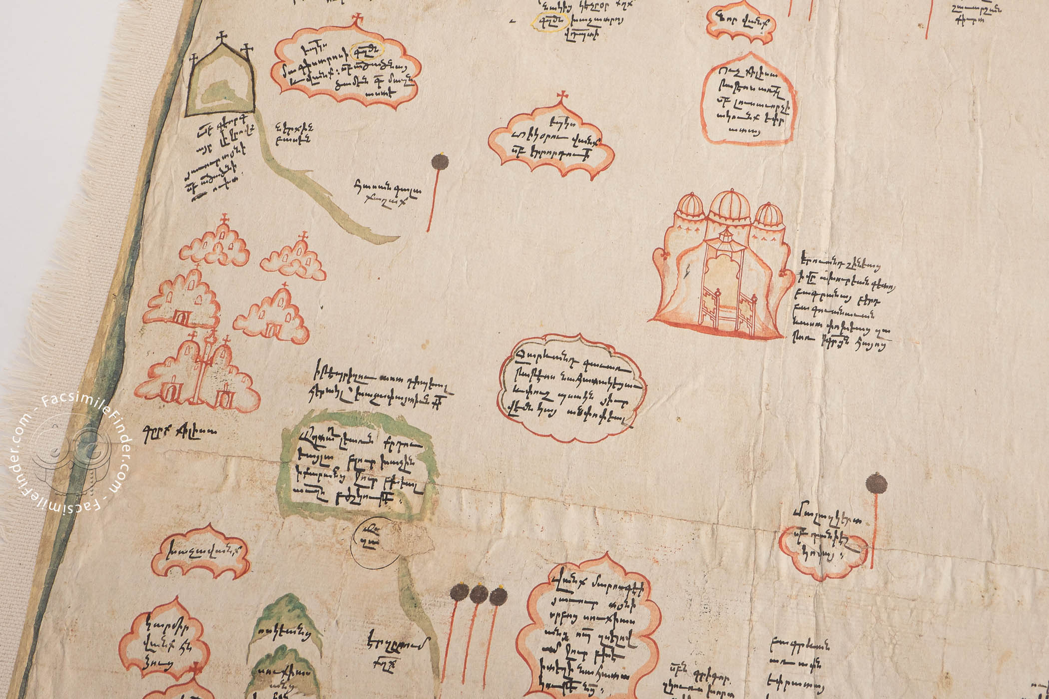
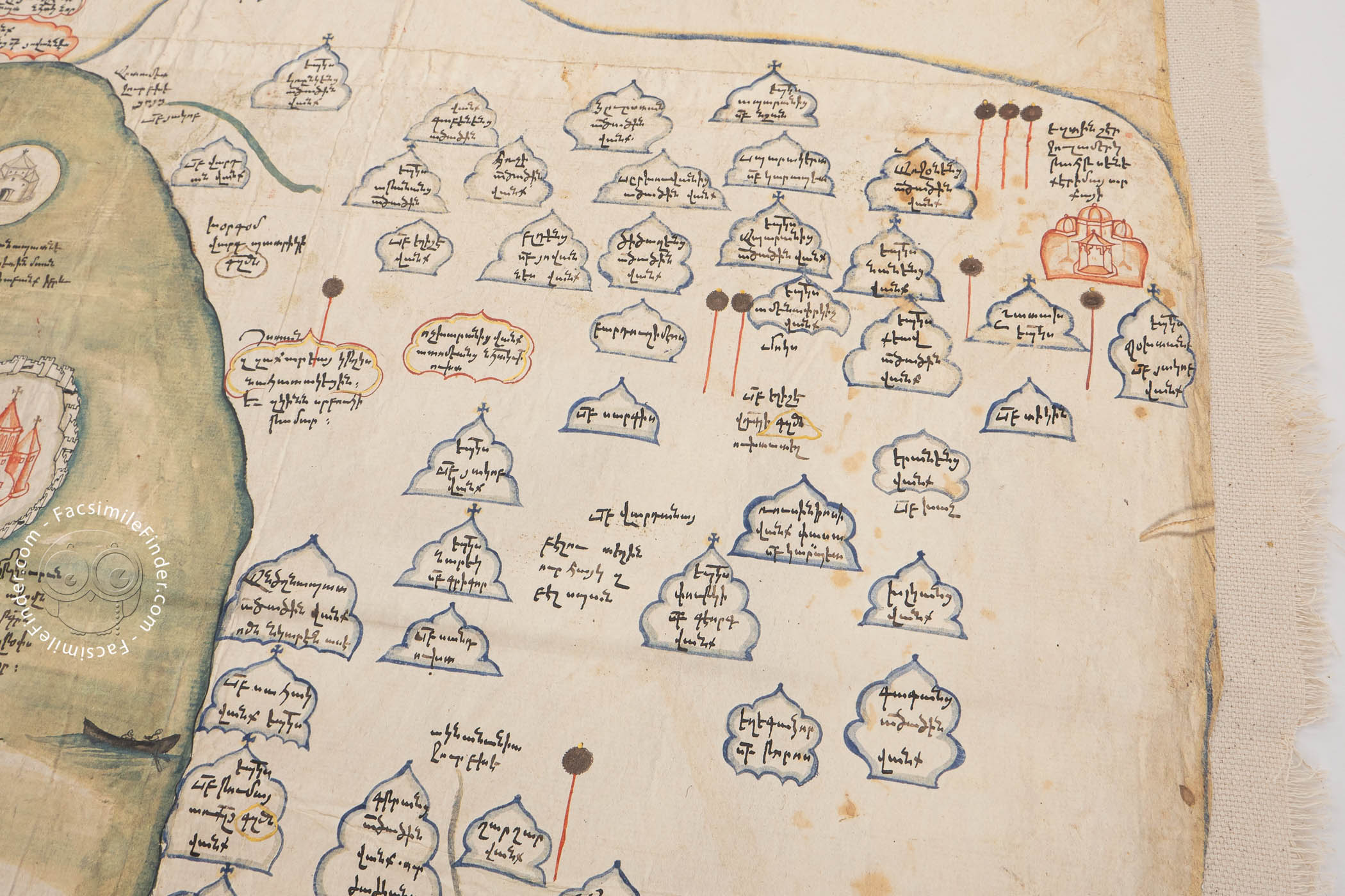
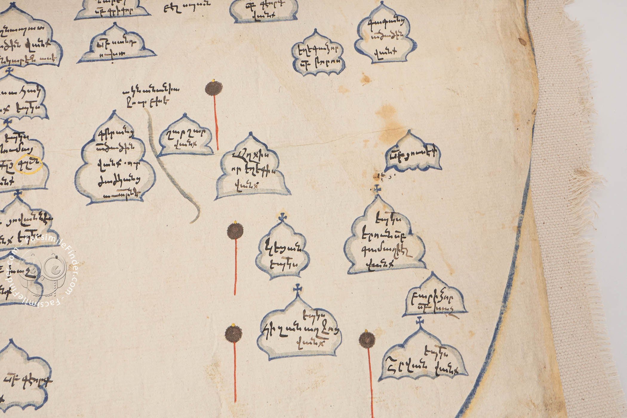
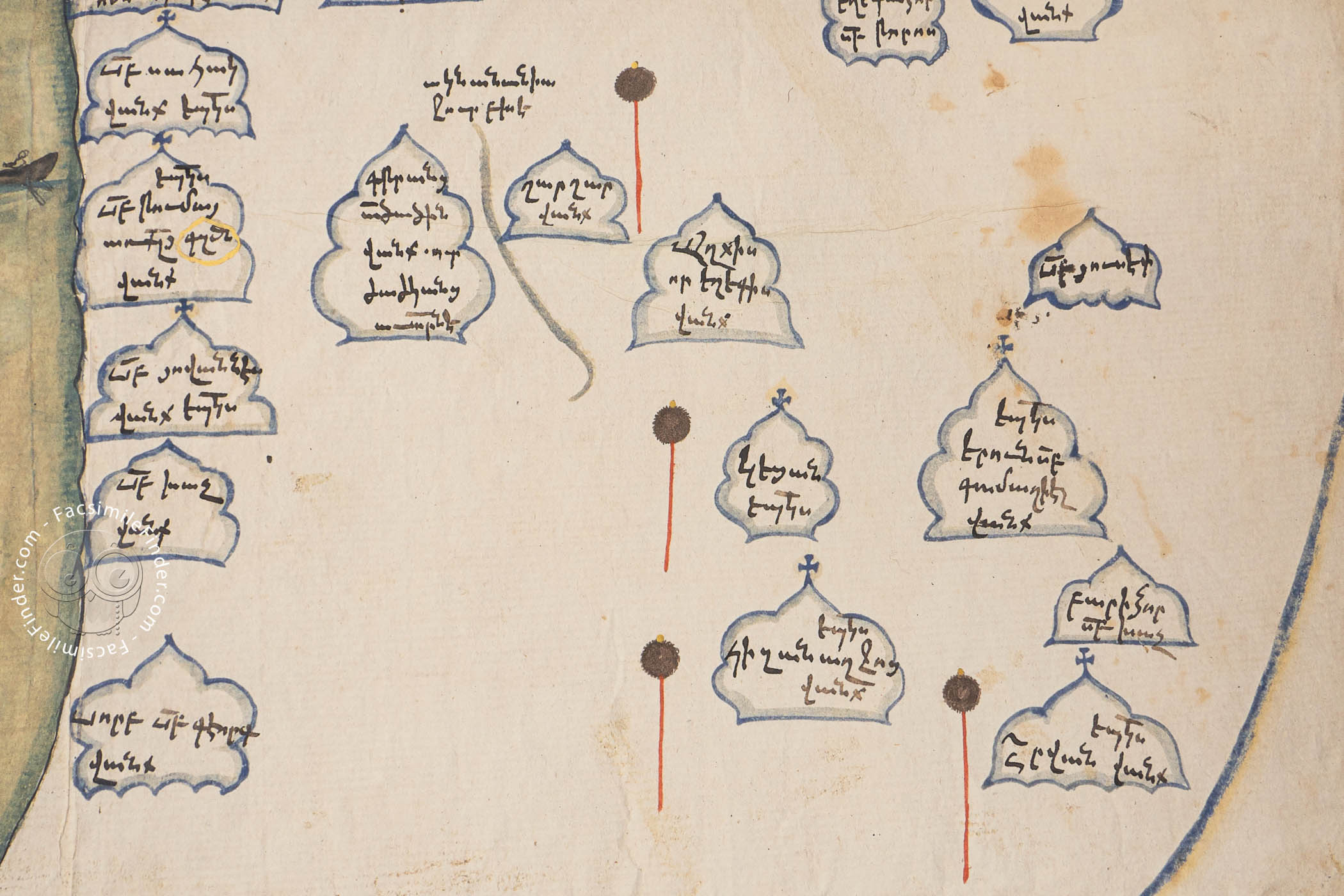
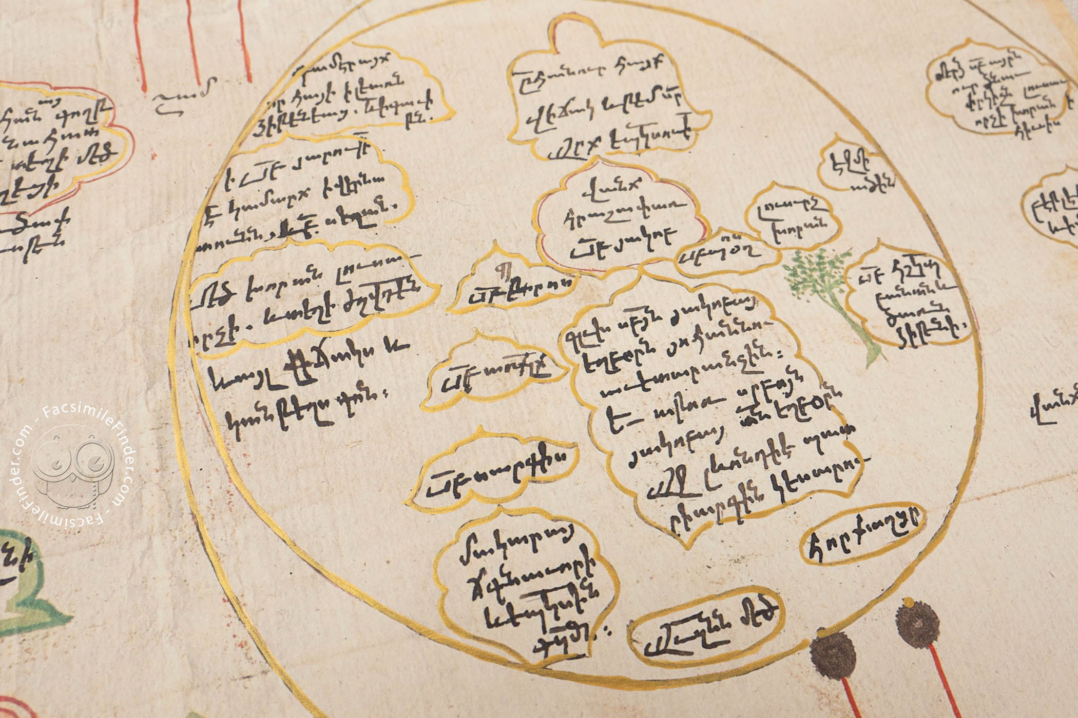
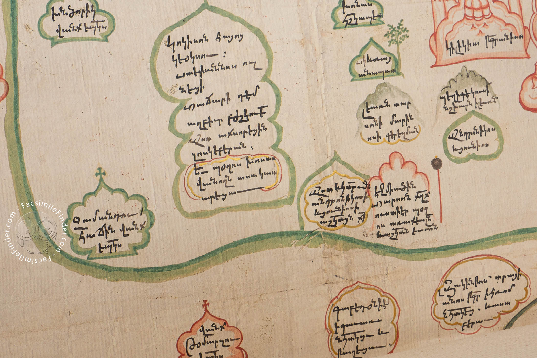
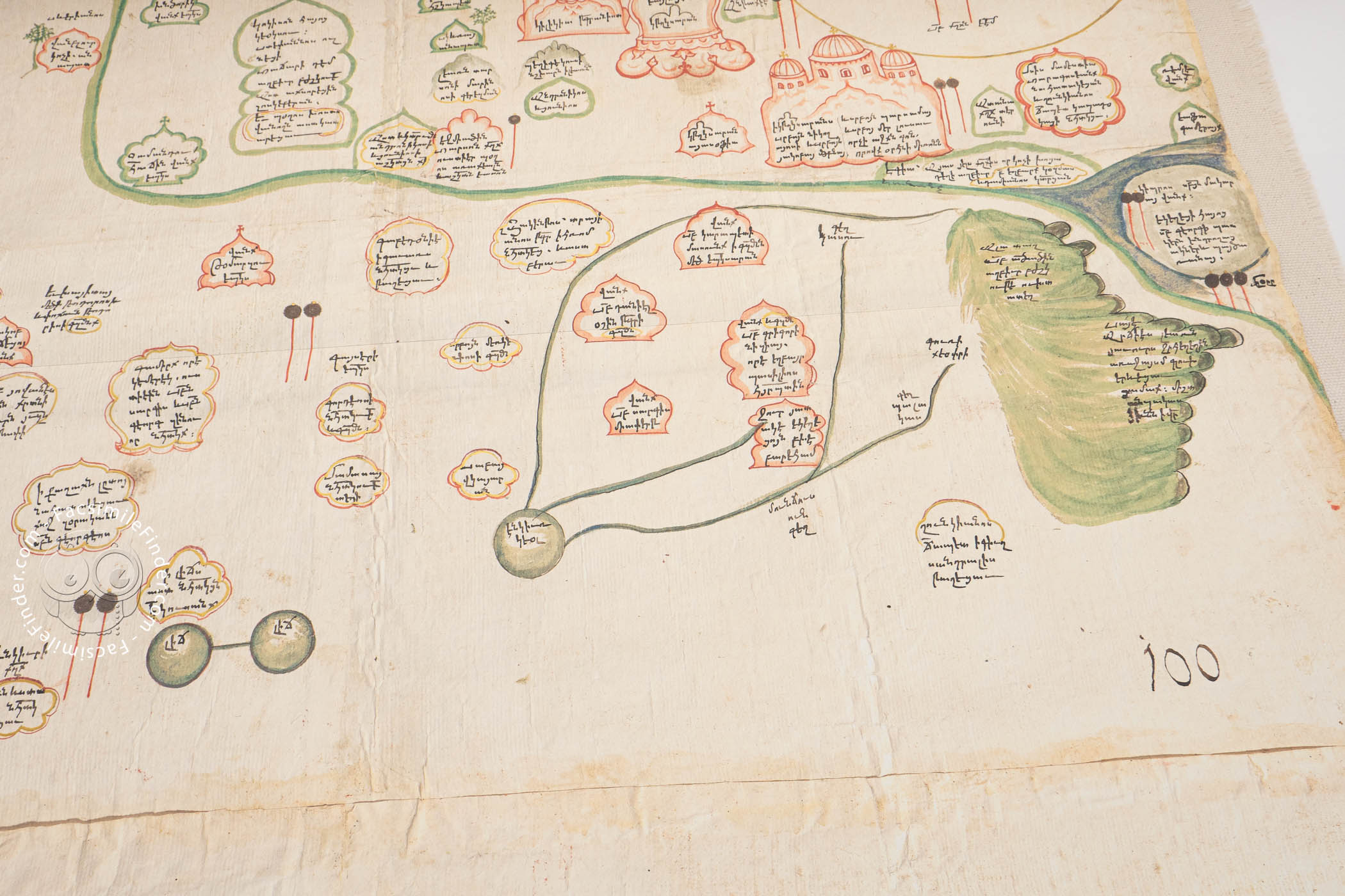
The presentation is systematic, with, for example, olive branches indicating male hermitages and palm branches female hermitages. Color is used to differentiate among the catholicates. These devices help the viewer understand the more than 800 details included in text and images.
The Apostle of the Armenians
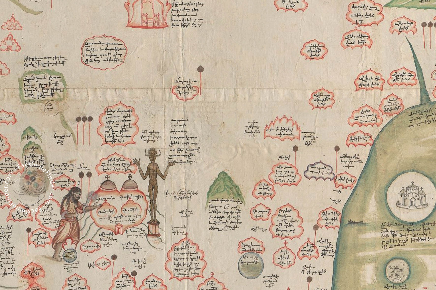
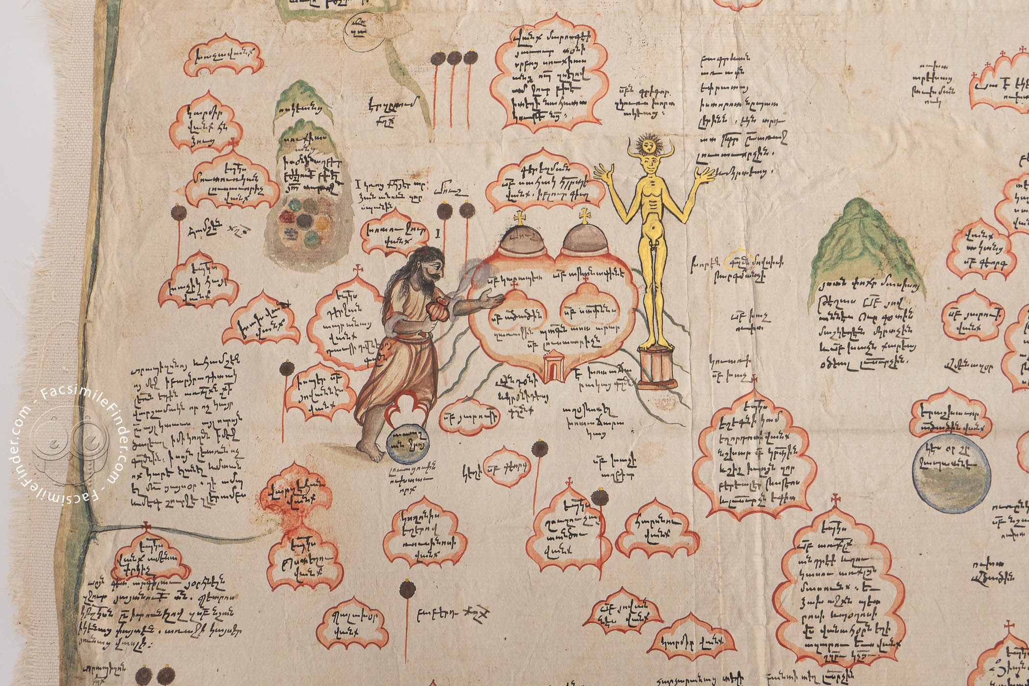
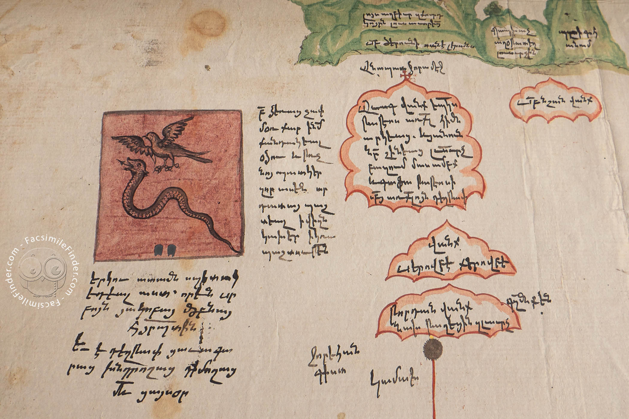
An engaging detail is the scene of the fourth-century Saint Gregory the Illuminator, considered to be responsible for converting Armenia to Christianity, vanquishing an idol by spreading incense. Another feature of the map is the pictured tugs, circular banners on tall poles. These indicate the relative power of a place in Ottoman political dynamics: the more tugs, the more powerful.
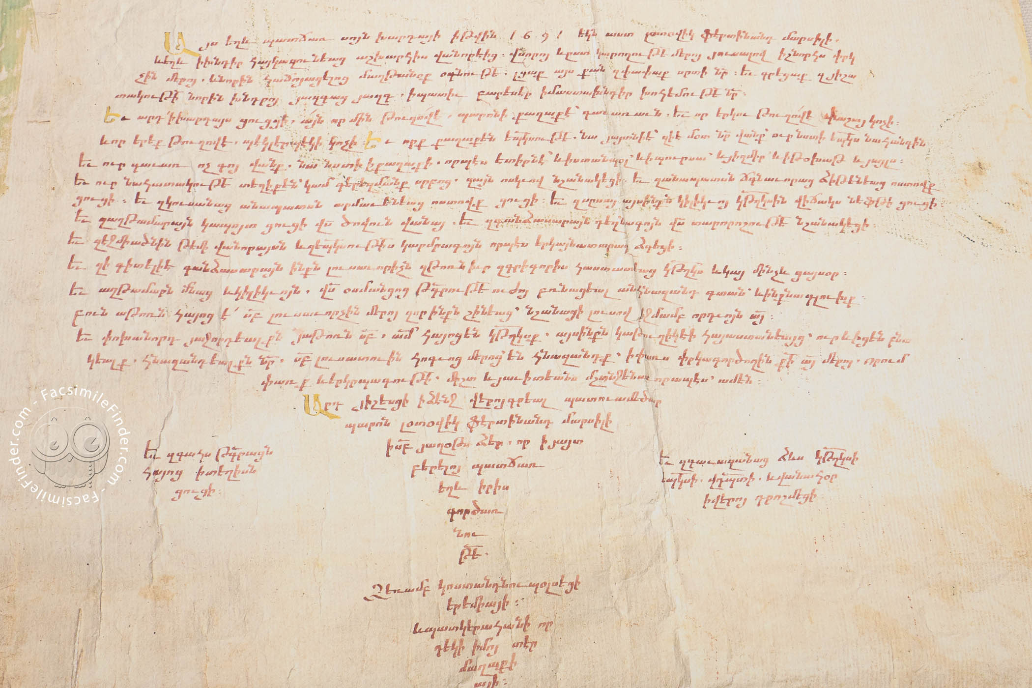
Polymaths Collaborate
Eremia K'ēōmiwrchean (1637-1695) was the author of histories of the Ottomans, the Armenians, and Constantinople. He was also a poet and a musician. Luigi Ferdinando Marsili (1658-1730), who employed K'ēōmiwrchean to make the map, was a diplomat and a scholar of natural science.
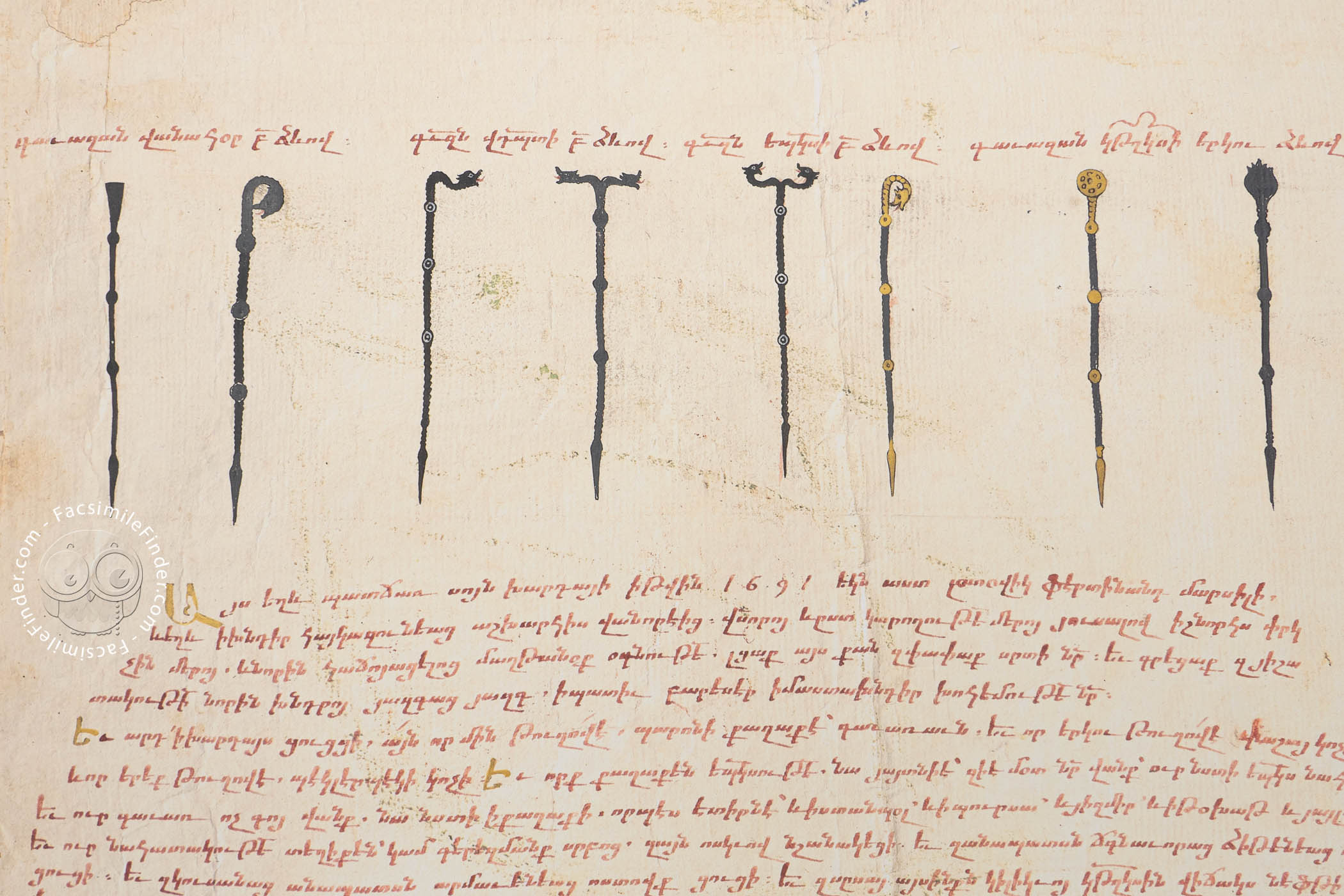
The colophon at the bottom records the story of the commission and the date. The cartouche at the top of the map contains a brief history of the Armenians.
A Remarkable Discovery
The map was known to exist for a century before it was discovered for study by modern historians in 1991, when it was found among a vast trove of material donated by Marsili to the university of his native city of Bologna.
We have 1 facsimile edition of the manuscript "Tabula Chorographica Armenica": Tabula Chorographica Armenica facsimile edition, published by Imago, 2025
Request Info / Price