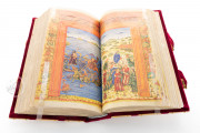
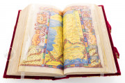
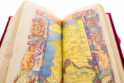
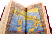
This superb manuscript of Ptolemy's Cosmography, made in 1490 in the workshop of the artist and cartographer Bernardo Silvano in Naples, is one of the most remarkable works of fifteenth-century cartography, as well as an outstanding example of Neapolitan Renaissance art. With its very rich and abundant illumination, it is based on the Latin translation of Jacopo d'Angelo (ca. 1360–1411), the translator of Ptolemy's work from Greek after its rediscovery in the early fifteenth century, and the maps of Nicolaus Germanus (ca. 1420–ca. 1490).
The manuscript was commissioned by Andrea Matteo Acquaviva, Duke of Atri (1456–1528), one of the most important humanist princes in southern Italy. With its remarkably small size, the work shows the decorative and geographic innovations of Renaissance Italy and is a fundamental tool to understand the artistic and humanistic trends of fifteenth-century Naples.
A Masterpiece of Cartography and Art
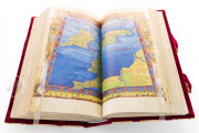
One of the most striking features of this manuscript is its small size: it measures 26.7 x 14.5 cm, which makes it easy to handle and consult. Nevertheless, it is an outstandingly rich piece of art, full of lavish decoration and illumination.
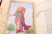
The manuscript opens with a personification of geography, holding an astrolabe and a compass (fol. 1v). We can also see a drawing representing Ptolemy (fol. 2r), framed in a typically Renaissance composition, with abundant floral motifs and the coat of arms of Acquaviva.
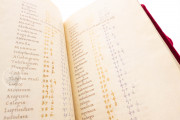
Those drawings are followed by the long text of the Cosmography, which runs through fol. 233. Some folios present a lavish floral decoration, and we can also see some beautifully decorated initials.
But the luxury nature of the manuscript is principally visible in its cartographic section, which contains lavish double-page maps and very richly decorated allegories of the continents.
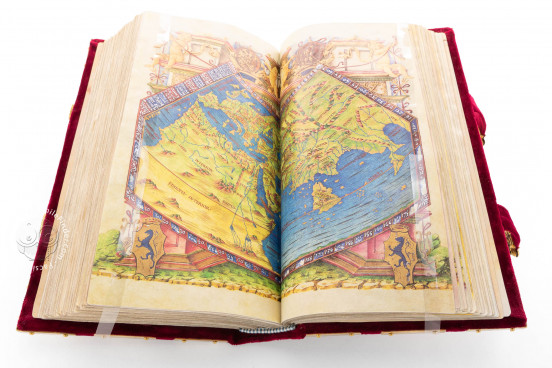
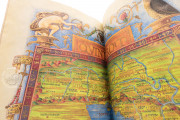
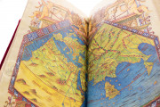
The first map (fols. 234v–235r) is a double-paged world map, richly decorated with putti, medallions, and coats of arms of the Duke, all depicted over an architectural background.
The map shows the known world according to Ptolemy, with western Asia, Europe, and North Africa, as well as the Fortunate Islands, the British Isles, and Taprobana (Sri Lanka). We can see a bright blue for the waters and a rich green for the continents, depicting the mountain ranges in red and yellow.
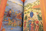
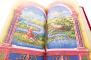
The allegories included in the cartographical section of the work interestingly reflect the revival of classical iconography during the Renaissance. Europe (fol. 236v) is depicted alluding to the myth of the Rape of Europa by Jupiter, surrounded by mythological marine monsters and Neptune.
In the same drawing, we can see several women, dressed in classical style, as well as the ruins of an ancient building in the background. On fols. 258v–259r the Indus river is depicted as an old man who irrigates the world and on fols. 284v–285r, the allegory of Africa shows a woman seated on an elephant and holding a palm, Perseus with the head of Medusa, and Atlas holding a celestial sphere; the scene is surrounded by a green landscape with trees, a river, a lion, and two ostriches. Thus, the influence of classical tradition is a very important feature of the decorative apparatus of this manuscript.
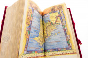
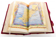
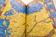
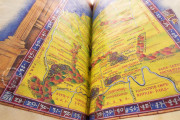
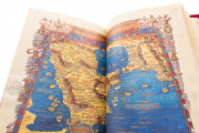
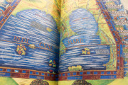
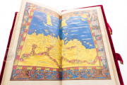
The maps are also very prominently depicted. We can find ten maps of Europe (fols. 238v–257r), twelve of Asia (260v–283r), and four of Africa (286v–293r), as well as the world map already mentioned.
They are double-page maps, lavishly colored, and with elaborate frames. The place names are abundant, and the great quality of illumination indicates that this manuscript was made as a luxury art object, rather than a scientific and cartographic work.
A Valued Work in European Courts
The rediscovery of Ptolemy's Geography in the western world is a crucial event in the history of cartography. A milestone in the postclassical geography and cosmography, it was written by the astronomer and geographer Claudius Ptolemy in the second century but was almost forgotten until the end of the thirteenth century, when the Greek monk Maximos Planudes found a copy and took it to the monastery of Chora.
Some years later, this work reached Florence, being later translated into Latin by Jacopo d'Angelo de Scarperia in 1406. Some years later, the cartographer Nicolaus Germanus (c. 1420 – c. 1490) created a version with maps that was the basis of the manuscript described here.
The Italian humanists admired and disseminated Ptolemy's Geography in the frame of the recovery of the classical tradition, establishing the germ of modern cartography.
Regarding the manuscript described here, after being commissioned by Andrea Matteo Acquaviva, it was confiscated by Ferdinand I of Aragon, becoming part of the library of the kings of Aragon in Naples.
In 1495, it was confiscated again by Charles VIII of France and was taken to the Castle of Amboise and later added to the Royal Library in Blois under Louis XII. In 1544, it was transferred to the Royal Library of Fontainebleau, the foundation collection of the National Library of France, as a part of Francis I’s royal collections.
We have 1 facsimile edition of the manuscript "Paris Ptolemy": Cosmografía de Claudio Ptolomeo facsimile edition, published by Siloé, arte y bibliofilia, 2006
Request Info / Price
