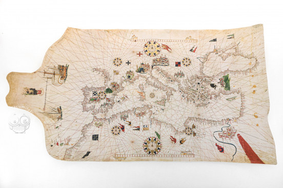
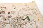
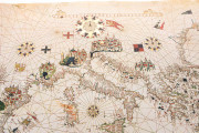
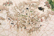
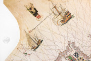
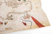
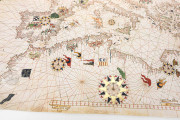
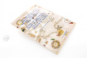
This portolan chart is a very interesting example of the tradition of sea charts in early modern Majorca. Dated 1563, the Portolan Chart by Matteo Prunes depicts the Mediterranean, southern Europe, North Africa, and the Black Sea, as well as the eastern Atlantic Ocean and some of its archipelagos. The chart contains depictions of cities, flags, and banners, as well as two ships sailing in the Atlantic Ocean, and the Virgin Mary with the Child at the left edge.
The chart is the work of Matteo Prunes (1532-1594), whose charts are among the best examples of nautical cartography from sixteenth-century Majorca.
An Example of Traditional Majorcan Nautical Charts
This chart, designed to provide information about coastlines, is on parchment and measures 53 × 98 cm. It depicts the coastlines of the Mediterranean, the Atlantic as far north as Brest, and the Black Sea in an accurate way, with abundant place names.
Painted Embellishment
We can see abundant decorative details, such as different ribbons, flags and coats of arms; large compass roses indicating the cardinal points are also included.
Important cities in Europe, Africa, and Near East are portrayed with flags indicating their sovereignty. Thus, Granada in southern Spain is marked with the flag of Castile, and a large flag with the Lion of Saint Mark rises from the city of Venice, depicted very large to indicate its importance.
At the left edge of the chart, a depiction of the Virgin and Child is included, something common in nautical charts made in Majorca at the end of the Middle Ages and in the early modern period. Under the Virgin, an inscription indicates the authorship and date of the work: Matheus prunes in civitate majoricarum 1563 ("Mateo Prunes in the city of the Majorcans, 1563").
Two large ships are shown sailing west in the Atlantic Ocean, perhaps indicating the importance of the Atlantic at this time of the first voyages to America from southern Europe. At the bottom left corner of the chart, we can see the Canary Islands and Madeira.
The Prunes Family and Mapmaking in Majorca
Matteo Prunes was a member of a renowned family of cartographers living and working in Majorca in the sixteenth and seventeenth centuries, a time when the famous Majorcan school of cartography was in decline. Several members of the family are known, namely Juan, Bautista, Matteo, Vicente, Juan Bautista, and Pere Joan, among whom Matteo seems to have been the most prolific mapmaker. This chart is one of his thirteen surviving charts and is displayed in the Museo Naval in Madrid, which acquired it in 1926.
We have 1 facsimile edition of the manuscript "Portolan Chart by Matteo Prunes": Portulano del Mediterráneo de Mateo Prunes facsimile edition, published by AyN Ediciones, 2005
Request Info / Price
