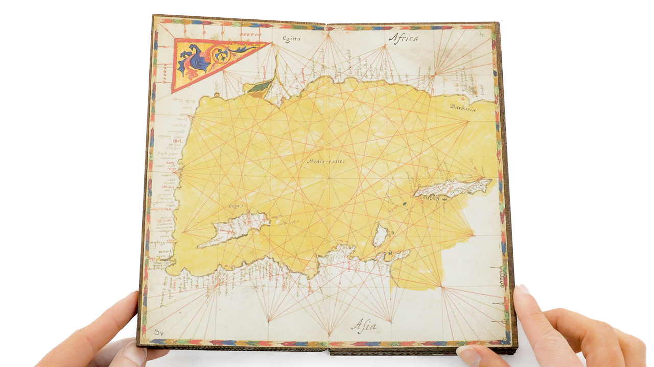
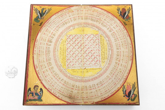
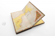
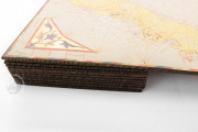
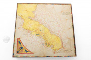
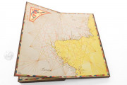
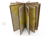
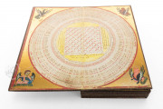
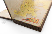
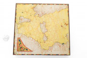
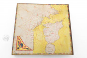
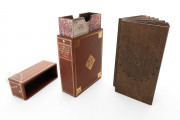
Made in Venice, the Portolan Atlas of Pietro Vesconte of 1318 is the earliest surviving European atlas of nautical charts. It is a remarkable object for its format of parchment sheets affixed to thin wooden tablets creating stiff pages that are turned in the manner of the leaves of a book. It comprises ten sheets (about 19 cm square), each folded when the "book" is closed. The first sheet is a calendar diagram; there follow nine nautical maps, charting the coasts of the Black Sea, the Mediterranean basin, and the Atlantic coast of Europe as far north as Scotland.
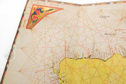
The atlas is remarkable for the beauty of its painted decoration. The symbols of the authors of the Gospels of the Christian Bible are pictured as half-figures emerging from clouds against a golden background in the four spandrels of the circular calendar. Each map features a painted cornerpiece with either a dragon or colorful acanthus and a scale of miles at its outer edges.
Professional Venetian Illumination
Born in Genoa, Vesconte made his career in the second and third decades of the fourteenth century in Venice, employing professional illuminators who painted in the Byzantinizing style prevalent in the city at the time. They employed painted gold grounds for the evangelist portraits of the calendar and the dragons and acanthus leaves of the maps.
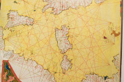
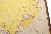
Each chart, presented with south at the top, has a multicolored border of reds, white, gold, green, and blue, and small islands are colored red, blue, green, and yellow. The sea is painted a translucent yellow-green.
Practical Guide for Sailors
The principal aims of Vesconte's maps are to represent distances between ports and to trace seacoasts, information of use when navigating through the depicted waters. The networks of red and brown rhumb lines guide pilots in setting their courses.
Coastlines of Paramount Importance
Most of the original text of the maps, written in clear Gothic Hybrida, comprises the names of coastal cities and landmarks written on the land masses perpendicular to the coastline so as not to obscure its contour. Small islands are also labeled. Unusually, country names are included for England and Scotland.
Added Inscriptions
More than a century after the maps were made, large inscriptions—mostly country names—in display script composed of letterforms borrowed from Humanistic Cursive and Square Capitals were added to most of the maps. The person who added these inscriptions may also have been responsible for the overpainting of the coastlines.
Long in the Imperial Library
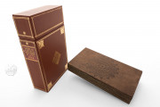
Nothing is known about the immediate fate of the atlas. In the eighteenth century, it was reported to be in the collection of the Holy Roman Emperors, whence it came into the Austrian imperial library, renamed the Österreichische Nationalbibliothek after World War II. Its leather case in the form of a book with a gold-tooled spine label dates from the eighteenth century.
We have 1 facsimile edition of the manuscript "Portolan Atlas of Pietro Vesconte": Pietro Vesconte Cartae Nauticae facsimile edition, published by Akademische Druck- u. Verlagsanstalt (ADEVA), 2022
Request Info / Price
