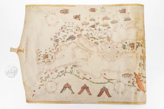
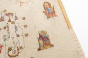
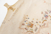
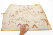
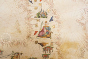
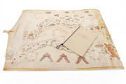
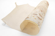
The Navigational Map of the Mediterranean Sea currently preserved at the National Central Library in Rome was crafted by Giacomo Maggiolo in 1561. The map's creation date and its maker are explicitly stated in the cartouche below the Madonna image (Jacob's de maiolo filius magistra veschonti composit hanc cartam / in ianua anno domini 1561 XXV nouembris in Iospitaleto). This map marks the pinnacle of Giacomo Maggiolo's productive period. Crafted on an entire sheepskin, it outlines the Mediterranean Sea to the Black Sea and the Sea of Azov, the Red Sea, and the African coastline from Cape Finisterre to Rio de Oro (the latitude of the Tropic of Cancer).
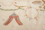
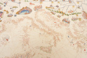
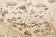
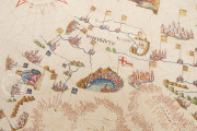
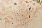
Centered off the coast of Capri, the map features twelve simple and four ornate compass roses, and includes map scales at both the top and bottom. It depicts the orography (using small cones for the African mountains) and hydrography (detailed river paths), along with rulers of significant states, each with their unique flags. While five kings are unnamed, three are identified: the "king of Spain," "king of Poland," and "king of France." In Africa, the rulers are shown beside richly colored and gold-adorned pavilion tents. The map displays city views (forty-six in Europe, fourteen in Africa, and ten in Asia), with Genoa highlighted in great detail. It also features forty-five European flags, twenty African flags, and twenty Asian flags.
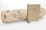
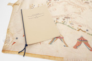
We have 1 facsimile edition of the manuscript "Navigational Map of the Mediterranean Sea": Giacomo Maggiolo, Carta Nautica del Bacino del Mediterraneo facsimile edition, published by Istituto Poligrafico e Zecca dello Stato
Request Info / Price
