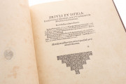
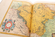
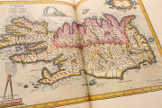
This atlas is perhaps one of the most fundamental works in the history of cartography. Created by Flemish cartographer and mathematician Gerardus Mercator (1512-1594) and finally published by his son in 1595 after his death, it is a key contribution to the development of a genre of cartographic works: the atlas, a collection of maps and texts in a consistent format representing the world and its parts.
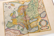
This copy of the Atlas has a special value since it is the first edition of the work. It contains abundant copperplate engravings that have been hand colored, providing a complete picture of the world known to Europe in the late sixteenth century.
A Masterpiece of Sixteenth-Century Cartography
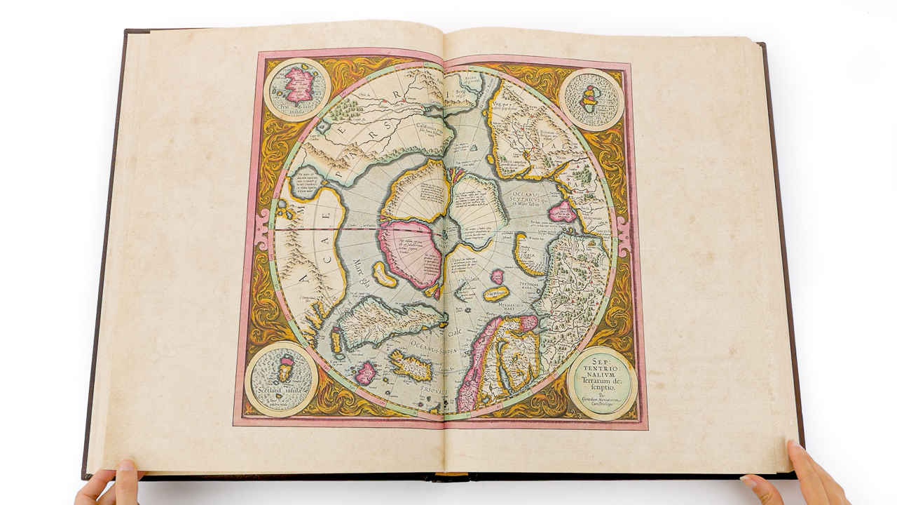
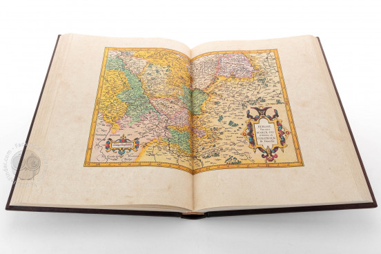
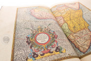
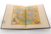
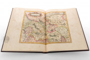
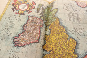
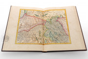
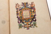
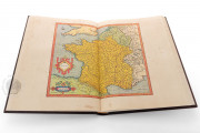
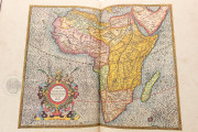
The 558 pages of this copy of Mercator's Atlas measure 41 × 28 cm. It includes 107 hand-colored, double-page maps. The maps feature abundant explanations. Following the trends of sixteenth-century cartography, the maps include elaborate cartouches containing the name of the area and a brief introductory text.
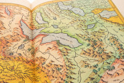
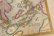
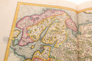
The place names, texts, and inscriptions in the maps are printed in an elegant italic script, which was one of the innovations introduced by Mercator in his works. In fact, he published a textbook on writing italic script in 1540. An expert engraver himself, he used the script already on his map of Flanders of 1540.
The Atlas not only contains interesting and accurate maps and charts, but also abundant texts that explain various aspects of the places portrayed, such as topographic details, the history of the place, and renderings of its peoples, among other information.
A Compilation of New and Previously Published Work
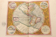
This copy of the Atlas, which is an editio principissima (the first printed edition), is held in the Staatsbibliothek in Berlin under the shelfmark 2º Kart. 180/3. Its contents are arranged in the order of their completion: the first part, originally published in 1585, with maps of France, Belgium, and Germany; the second part, originally published in 1589, with maps of Italy, the Balkans, and Greece; and the third part only finished after Mercator's death, which includes a biography and epitaph of the author and maps of the whole world as it was known to Europeans (1595).
A Milestone in the History of Cartography
Gerhard Kremer, better known as Gerardus Mercator, is perhaps the most influential cartographer of all time. He was born in Rupelmonde (Flanders) in 1512 and studied mathematics, astronomy, and geography at the University of Louvain. He moved to Duisburg (Germany) and spent the rest of his life there. He is best known for developing a new projection, used in his 1569 world map, which became the standard projection for world maps to this today.
Mercator died before completing his most ambitious work, this compilation of maps of the known world with the title Atlas sive cosmographicae meditationes de fabrica mundi et fabricate figura. The work was finished by his son Rumold (d. 1599) and is the most important cartographic work of the modern era.
We have 1 facsimile edition of the manuscript "Mercator Atlas": Gerardus Mercator Atlas 1595 facsimile edition, published by Coron Verlag, 2004-2009
Request Info / Price
