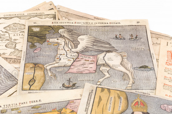
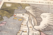
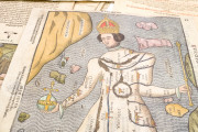
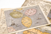
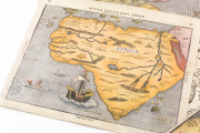
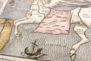
Maps for the Itinerary of Sacred Scripture is a collection of geographical illustrations—mostly maps—probably all dating from the late sixteenth or seventeenth century. The collection comprises pages intended for more than one edition of the Itinerarium Sacrae Scripturae ("Itinerary of Sacred Scripture") by the German theologian Heinrich Bünting (1545-1606) first published in 1581. The book was meant to help the Christian reader apprehend the physical world of the remote biblical past. Its lengthy text was always accompanied by woodcut maps and images, and the work is especially famous for its figured maps: the world as a three-lobed clover leaf, Asia as the mythical horse Pegasus, and Europe as a queen.
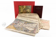
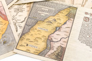
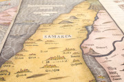
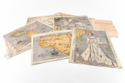
This collection includes eighteen sheets, including hand-colored versions of the figured maps, as well as hand-colored maps of Africa and the Judeo-Christian Holy Land. Most of the maps were designed to spread across an opening (two facing pages) in the book publication, and they were printed on a single sheet of paper, making them particularly attractive for collecting.
Fine Quality Hand-Coloring
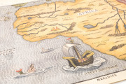
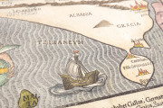
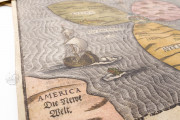
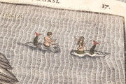
Five of the maps were hand-colored around the time of their publication, perhaps professionally, and are extremely attractive. Delicate washes of blue, ocher, earth green, lilac, and red bring out the myriad of details in the maps, including cityscapes, sailing ships, mermaids, mermen, and sea monsters.
The Clover Leaf Map
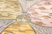
The collection includes two versions—one colored and the other not—of the schematic map of the eastern hemisphere. Jerusalem is situated at the center; Europe, Asia, and Africa radiate from the center in the form of stylized lobes of a clover leaf, intended by its three-lobed form to evoke the Christian Trinity.
The interest in the distant past is manifest in the cities depicted: ten in Asia, three in Africa, and only one—Rome—in Europe. Denmark, Sweden, England, and America are considered to lie outside of this Jerusalem-centered world.
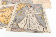
The Map of Europe as a Queen
The collection includes two versions of the figured map of Europe with Iberia (labeled "Espania") as the queen's head and Bohemia as her heart. She carries Sicily as an orb in her right hand. As in the world map, England and Scandinavia are excluded from Europe.
Many Editions over Time
The Itinerarium was reissued many times in the original German over the course of nearly two centuries, and the text was translated into Latin and many European vernaculars.
Although the woodcuts of the images, which include representations of Jerusalem and its Temple, were reused, the moveable type of the text surrounding each woodcut changed from edition to edition—both in content and style. Over the course of many editions, new woodcuts replaced worn ones, as can be seen, for example, in the group's related but different woodcuts of the Holy Land printed opposite the text describing the places where Zacharias, father of John the Baptist, lived.
The title page in this collection is from the German edition printed in Mecklenburg in 1616.
We have 1 facsimile edition of the manuscript "Maps for the Itinerary of Sacred Scripture (Collection)": Mapas de Heinrich Bunting facsimile edition, published by Siloé, arte y bibliofilia, 2010
Request Info / Price
