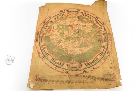
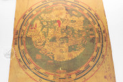
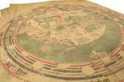
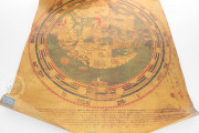
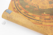
The Mappa Mundi of Andreas Walsperger, made by the German Benedictine monk and cartographer at Constance and dated 1448, is a fascinating example of the synthesis of tradition and modernity in fifteenth-century mapmaking. The influence of the ancient Roman geographer Ptolemy (second century CE) is notable, and the most recent geographical discoveries are reflected. The map is situated, nevertheless, firmly in the medieval tradition of mappae mundi.
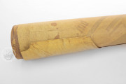
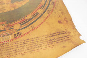
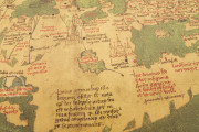
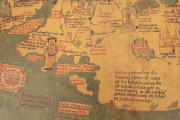
Made on a single sheet of parchment, the map combines graphic depictions and explanatory texts that reflect the geographical ideas dominant in fifteenth-century Europe. Below the map, Walsperger describes the sources he used, the most important being Ptolemy’s Geography.
A Christianized Ptolemaic View of the Cosmos
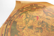
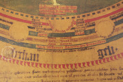
The world map is ringed by the spheres, alternating in colors and unpainted parchment, radiating out from the spheres of air and fire through the spheres of the celestial bodies to the sphere of the primum mobile—Ptolemy's explanation of the apparent movement of the planets and stars.
Twelve circles around the map name the signs of the zodiac and twelve semicircles the winds. The outermost circle names the nine ranks of angels—seraphim, cherubim, thrones, dominions, virtues, powers, principalities, archangels, and angels.
A Wealth of Detail
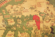
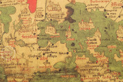
Except at its southern edge (at the top of the map), the world's land masses are surrounded by a green ocean. The Red Sea is rendered in an intense red, and rivers and lakes are shown in blue.
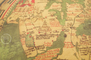
At the northeastern limits of the world, in the land labeled Gog and Magog, a cannibal is depicted, reflecting the tendency to locate fables and marvels in distant regions. The South Pole is described as uninhabitable and full of monstrous creatures.
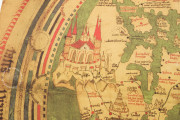
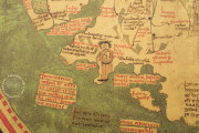
Paradise is represented as a city in the Far East, the largest feature of the map. From this city flow the four rivers of paradise: Pishon, Tigris, Euphrates, and Gihon (all labeled). The walled city of Jerusalem is shown at the center of the world. Europe, which occupies the lower right quadrant of the map, is especially detailed, the labels for its cities and polities densely filling the land.
From Ulrich Fugger to the Vatican
Walsperger's Mappa Mundi was once bound together with a collection of portolan charts (Vatican City, Biblioteca Apostolica Vaticana, MS Pal. lat. 1362 A). The combined manuscript came in 1567 to the Bibliotheca Palatina, the state library of the Palatinate in Heidelberg, from the library of local scholar Ulrich Fugger (1526-1584). It was one of hundreds of Palatina manuscripts taken to the Vatican via Munich in 1622/1623 as spoils of the Thirty Years War.
We have 1 facsimile edition of the manuscript "Mappa Mundi of Andreas Walsperger": Weltkarte des Andreas Walsperger facsimile edition, published by Belser Verlag, 1981
Request Info / Price
