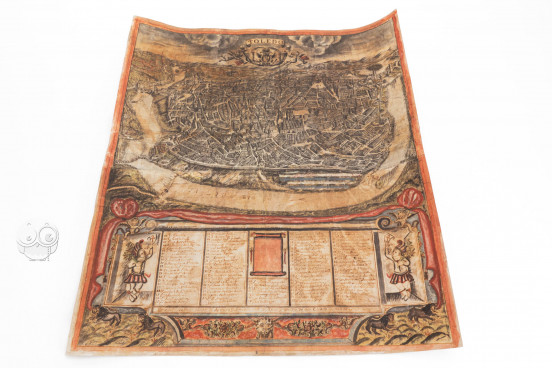
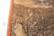
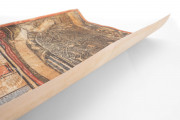
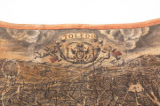
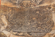
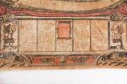
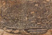
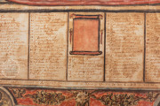
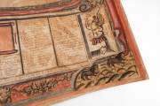
Made in 1720, the Map of Toledo by José de Arroyo Palomeque is a detailed, panoramic map of Palomeque’s home city of Toledo as seen from the south of the river Tagus. It shows the medieval streets, the thirteenth-century cathedral and cathedral square, and the Alcantara Bridge, among other details, which remain primarily unchanged to the present day. A legend identifying the numbered buildings, plazas, bridges, and gates on the map is provided at the bottom, flanked by two child-like figures in what seems to be the dress of Amerindians.
We have 1 facsimile edition of the manuscript "Map of Toledo by José de Arroyo Palomeque": Plano de Toledo de José Arroyo Palomeque facsimile edition, published by Millennium Liber
Request Info / Price
