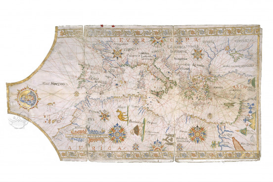
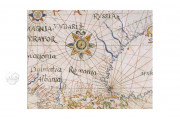
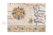
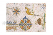
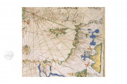
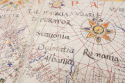
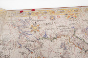
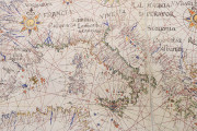
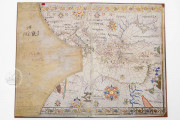
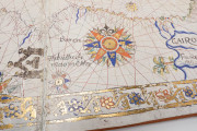
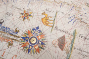
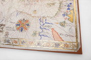
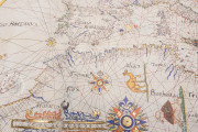
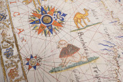
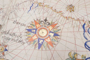
The Madrid Map of the Mediterranean Sea is a seventeenth-century nautical chart made in Messina as a decorative image rather than an instrument of navigation. It has been attributed to the workshop of Placido Caloiro e Oliva of the long Oliva dynasty of cartographers working in the Majorcan tradition. It features ten colorful full and two half compass roses with radiating rhumb lines—paths with constant bearings relative to magnetic north—in black, green, and red. A border filled with a gold winding vine outlined in red and blue frames the chart at the top and bottom.
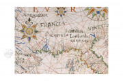
As is customary on portolan charts, coastal landmarks are labeled with the writing always perpendicular to the coastline extending inland. The most important are written in red.The chart takes the shape of the animal skin from which its parchment support was made, with the animal’s neck at the left (west) edge
A Tender Embrace
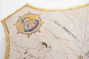
A roundel depicting the Virgin Mary with the infant Jesus occupies the tapered area at the left edge of the map. The child reaches for his mother, touching her veil with his left hand and cupping her chin with his left. Thirty-two rays in groups of four extend from the roundel in imitation of the rhumb lines emanating from the compass roses.
Holy Sites Pictured
On the land masses, pictures mark Christian holy sites. The representation of Mount Sinai includes the mosque at the summit and the Eastern Orthodox monastery at its base. Three gold hillocks topped by crosses mark Jerusalem, and the ark of Noah appears atop Mount Ararat. Another mosque, labeled Tabuttu di maometto, is pictured in North Africa.
The Color of Water
Near the coastlines, rivers are painted in blue. Larger bodies of water—the Atlantic Ocean and the Mediterranean and Black Seas—are the color of the unpainted parchment. The Red Sea, labeled MARE RUSSO, is orange-red.
Sicily at the Center
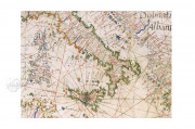
The map extends from the mid-Atlantic in the west and embraces most of the Black Sea to the east. The Atlantic coast of Europe stretches from the west coast of Africa just south of the Canary Islands to Boulogne-sur-Mer at the top edge of the chart. Sicily is at the map’s center, where one of the compass roses is placed.
A Dynasty of Mapmakers
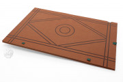
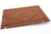
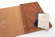
The Madrid Map is not signed. It is the product of the workshop of Placido Caloiro e Oliva, active in Messina from the 1610s to the 1660s. The map is entirely in the Majorcan tradition of Placido's ancestors, who first engaged in mapmaking in Majorca in the 1530s. The Madrid Map is mounted on leather to create a document that folds in two places vertically to create its own cover.
We have 1 facsimile edition of the manuscript "Madrid Map of the Mediterranean Sea": Carta Náutica del Mediterráneo facsimile edition, published by Orbis Mediaevalis, 2024
Request Info / Price
