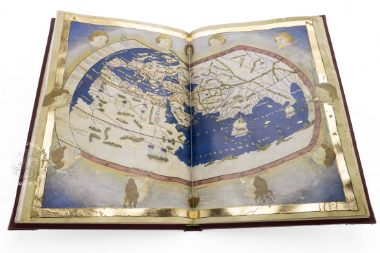
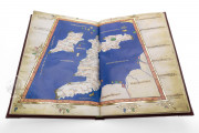
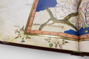
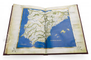
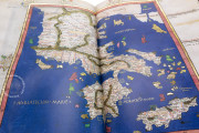
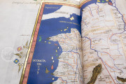
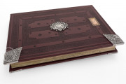
The Laurenziana Ptolemy manuscript is an exquisitely illuminated copy of the treatise on cartography and gazetteer by the ancient Greek astronomer Ptolemy in the Latin version that came to dominate the tradition in the fifteenth century. The manuscript was produced in Italy between 1466 and 1468. The treatise and gazetteer are embellished with 120 white vine-stem initials, one of which contains a portrait of Ptolemy. An atlas based on Ptolemy's text comprises thirty maps with brilliant blue seas and islands in bright pink, mint green, and gold.
The manuscript's text, known in the early modern period as the Cosmographia, is an early fifteenth-century Latin translation of Ptolemy's original Greek by Jacopo D'Angelo. Nicolaus Germanus revised that Latin text and dedicated his version to Borso d'Este (1413-1471), Duke of Ferrara, Modena, and Reggio. That dedication opens the Laurenziana codex (fols. 1r-2r).
The Learned Author
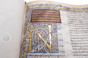
With the locations of more than 8,000 places identified by latitude and longitude, Ptolemy's geographical text was admired in fifteenth-century Italy for its exactitude and rigor. During the hundreds of years since the author had lived (2nd century CE), he had come to be associated with the ruling dynasty of Egypt (305-30 BCE) of the same name, and in the Laurenziana manuscript he is thus pictured with an elaborate headdress probably alluding to this phantom identification (fol. 2v).
Brilliant Color
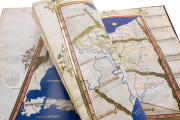
Ptolemy provided instructions in his treatise for making maps, but whether maps circulated with his text in antiquity is unknown. In fifteenth-century Europe, maps always accompanied the treatise: at the very least, the twenty-seven maps he described: a world map and regional maps of parts of Asia, Africa, and Europe.
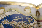
All the Laurenziana maps feature brilliant coloration, and the world map—which encompasses the world known to Ptolemy extending from the Canary Islands to southeast Asia and from the Shetland Islands to Zanzibar—includes charming representations of ten winds as children's heads with golden hair, their cheeks puffed out (fols. 75v-76r).
Characteristic Appearance of a Humanist Book
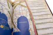
The Lauenziana Ptolemy is everything an Italian Renaissance aristocrat could want: a learned ancient treatise in the latest revised translation with a detailed and beautiful atlas, the text written in Humanistic Minuscule, and the initials and border decoration in the fashionable white vine-stem style. The many place names on the maps are in a more conventional Gothic Textura script, but many of the more prominent labels are in Square Capitals, imitating the look of ancient inscriptions.
Three Modern Maps
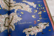
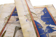
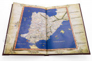
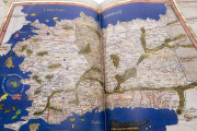
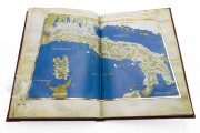
The Laurenziana manuscript includes the twenty-seven maps described by Ptolemy as well as three modern maps introduced by Nicolaus Germanus of the Iberian peninsula (fols. 81v-82r), Scandinavia (fols. 87v-88r), and the Italian peninsula (fols. 93v-94r). Nicolaus also modernized the ancient maps by including contemporary territorial frontiers as dotted lines and the names of the territories.
We have 1 facsimile edition of the manuscript "Laurenziana Ptolemy": Geographia di Tolomeo facsimile edition, published by Imago, 2022
Request Info / Price
