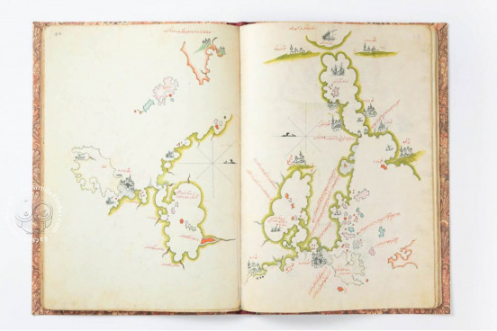
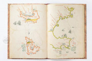
The explorations of Columbus were swiftly communicated to the Islamic nations encircling the Mediterranean Sea, largely due to the efforts of Piri Reis, a distinguished Ottoman admiral and mapmaker, in the early 1500s. His legacy survives through portions of two global maps and his nautical manual, the Kitab-i bahriye ('Book of Maritime'), which tackles the challenges of navigating the Mediterranean and is enriched with numerous maps. The Khalili Portolan Atlas draws extensively from his manual, enriching it with significant contributions like a collection of urban landscapes, featuring cities such as Istanbul, Venice, and Cairo, showcasing the dynamism of Ottoman cartographic artistry.
We have 1 facsimile edition of the manuscript "Khalili Portolan Charts": The Khalili portolan atlas facsimile edition, published by Azimuth Editions, 1992
Request Info / Price
