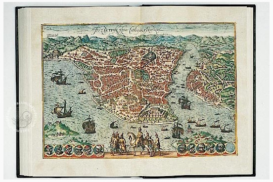
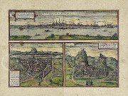
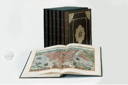
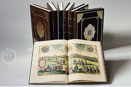
Two generations before Matthäus Merian, the Cologne theologian Georg Braun and the Flemish copper engraver Franz Hogenberg, together with other experienced artists, created large-scale city landscapes that became increasingly famous over the centuries. Their work comprises views and maps of cities from around the then-known world — hence the title of the first of six volumes, which was published in 1576: Civitates Orbis Terrarum.
The elaborately designed and lavishly colored large-format images that accompanied the anecdotal descriptions were intended to convey a new image of the world to all those who enjoyed a humanist education.
Realistic City Landscapes as Historical Documents
To improve our knowledge of medieval cities before their destruction in the Thirty Years War and the ensuing reconstruction in Baroque style, these excellent etchings are of tremendous importance; they not only provide detailed depictions of towns and landscapes but also a great deal of additional information: coats of arms, popular genre scenes of the life of farmers and fishers, local customs and fashion, vessels, all kinds of carts and carriages, and much more.
In the accompanying text, Georg Braun describes the geographic situation, the historical development, and the economic circumstances of each city, in an instructive and amusing style.
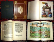
We have 3 facsimiles of the manuscript "Georg Braun And Franz Hogenberg: Beschreibung Und Contrafactur Der Vornembster Stät Der Welt 1574-1618":
- Beschreibung und Contrafactur der vornebmster Stät der Welt facsimile edition published by Coron Verlag, 1999
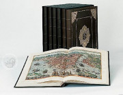
- Beschreibung und Contrafactur der vornembster Stät der Welt (Complete edition, 6 volumes, leather binding) facsimile edition published by Mueller & Schindler, 1999
- Beschreibung und Contrafactur der vornembster Stät der Welt (Complete edition, 6 volumes, half-leather binding) facsimile edition published by Mueller & Schindler, 1999

