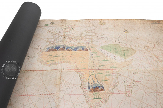
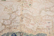
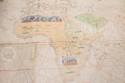
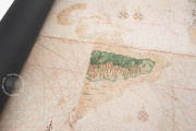
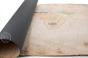
The Turin World Map, also known as Geocarta nautica and made ca. 1523, is one of the most valuable examples of early modern Spanish cartography. It has been commonly attributed to Giovanni Vespucci (c. 1460 – after 1524), nephew and pupil of Amerigo Vespucci, the Italian explorer and navigator who explored the coasts of the New World and whose name was given to the continent by Martin Waldsemüller in 1507. Nevertheless, recent researches have attributed this work to Nuño García de Toreno (mid-fifteenth century – 1526), an employee of the Casa de la Contratación (House of Trade) of Seville, the institution that managed the affairs of the New World for the Catholic Monarchs. Regardless of who made the map, it is thought to be a copy of the Padrón Real, the official and regularly updated world map made at the Casa de la Contratación.
This is the earliest surviving map representing the Strait of Magellan in the southern edges of America and the Moluccas islands in the Pacific. This is very remarkable, as the circumnavigation of the world made by Magellan and Elcano (1519-1522) was completed by Elcano only one year before the map was made.
The First Map Showing the Magellan-Elcano Circumnavigation
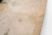
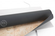
This map is made of six pieces of parchment, joined together to form a single piece measuring 112 x 262 cm. It shows the latest geographic discoveries of the first half of the sixteenth century, being the most updated world map of the time.
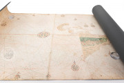
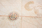
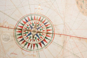
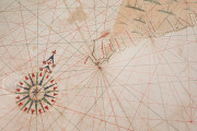
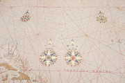
Europe, Africa, an almost blank Asia, and the known parts of America are depicted. Most of the map is covered by the ocean, and a series of elaborate compass roses form two circles around the planisphere.
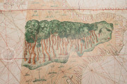
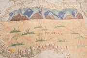
In the north of Africa, the mountains of Atlas are prominently drawn, and in the southern part of the continent, the mythical Mountains of the Moon, which, according to Claudius Ptolemy, were the source of the Nile, are also depicted.
In South America, Amazonia covers most of the continent, and on the southern edge of America, the Strait of Magellan is already visible. This is a very remarkable feature, given that Juan Sebastián Elcano returned from the first circumnavigation of the world in 1522, only one year before.
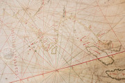
This detail, as well as the inclusion of the Moluccas islands on the far left of the chart, makes this planisphere a unique document: it is not only the first map in history that shows Magellan-Elcano circumnavigation of the world but also the earliest surviving map that depicts the Pacific based on practical sources, i.e. on information from someone who had actually crossed it, rather than stemming from theoretical approaches.
In the ocean, the islands are colored with gold, green, blue, and red, and the British Isles are marked with the red cross of England. We can find a great number of place names all over the coasts of the continents, and, interestingly, the Pacific has been left blank, with the exception of the Moluccas.
The representation of the Moluccas on the left edge of the chart, instead of including them in Asia, can be an indication of the Spanish sovereignty over the islands. It is worth to mention that those islands, also known as “Spice Islands”, were a very coveted territory since spices like nutmeg and cloves were exclusively produced there. Thus, the economic control of the Moluccas was a crucial aim both for Spain and Portugal.
This world map is held in the Royal Library of Turin, under the shelfmark Mss. Vari III 175.
The Padrón Real. The Official View of the World
After the first Columbus voyages and the discovery of the New World, the difficulty of managing the economic affairs of America demanded the creation of an institution to handle such a complex function.
Thus, in 1503 the Catholic Monarchs created the Casa de la Contratación de Indias (House of Trade of the Indies) in Seville. The most important navigators, experts, and scientists worked in this agency, training the new pilots for the oceanic navigations and contributing to the technical improvement of the Spanish navy.
One of the most important roles of the cosmographers and cartographers of the Casa de la Contratación was the creation of the Padrón Real, the official and secret Spanish master map of the known world used as a template for the maps present in the Spanish ships.
The importance of this map in the history of cartography is undeniable, given that it was the official representation of the world during the sixteenth century. Although the original Padrón Real is not extant, there are several world maps that are thought to be a copy of it, among which the Turin World Map is a very valuable example.
We have 1 facsimile edition of the manuscript "Turin World Map": Geocarta Nautica Universale di Vespucci facsimile edition, published by Priuli & Verlucca, editori, 2010
Request Info / Price
