
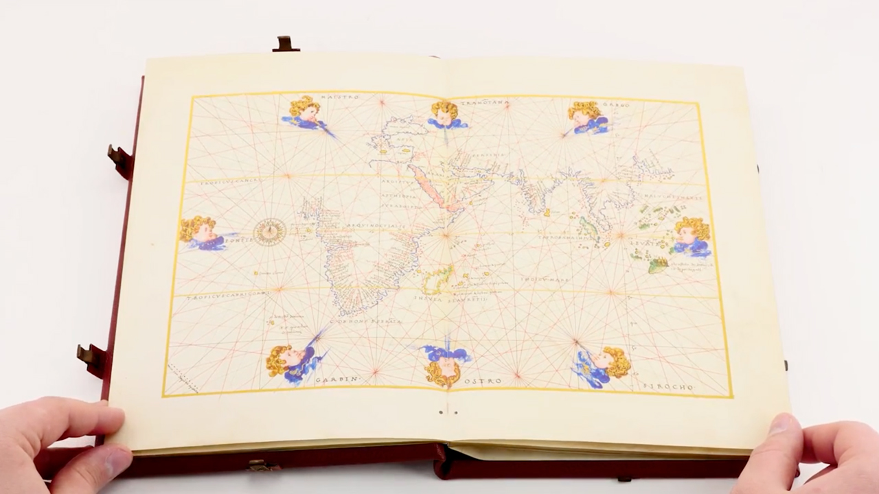


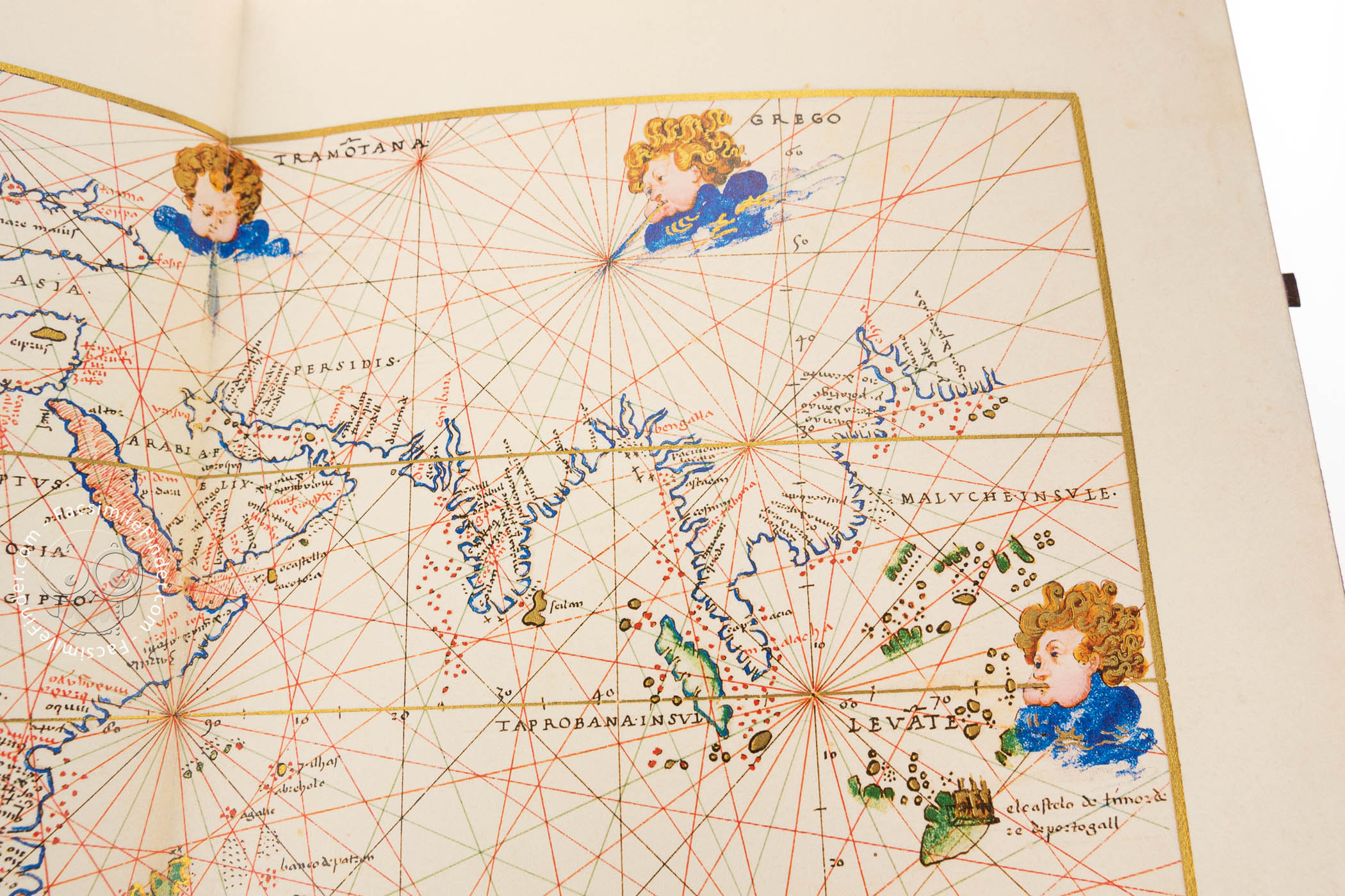
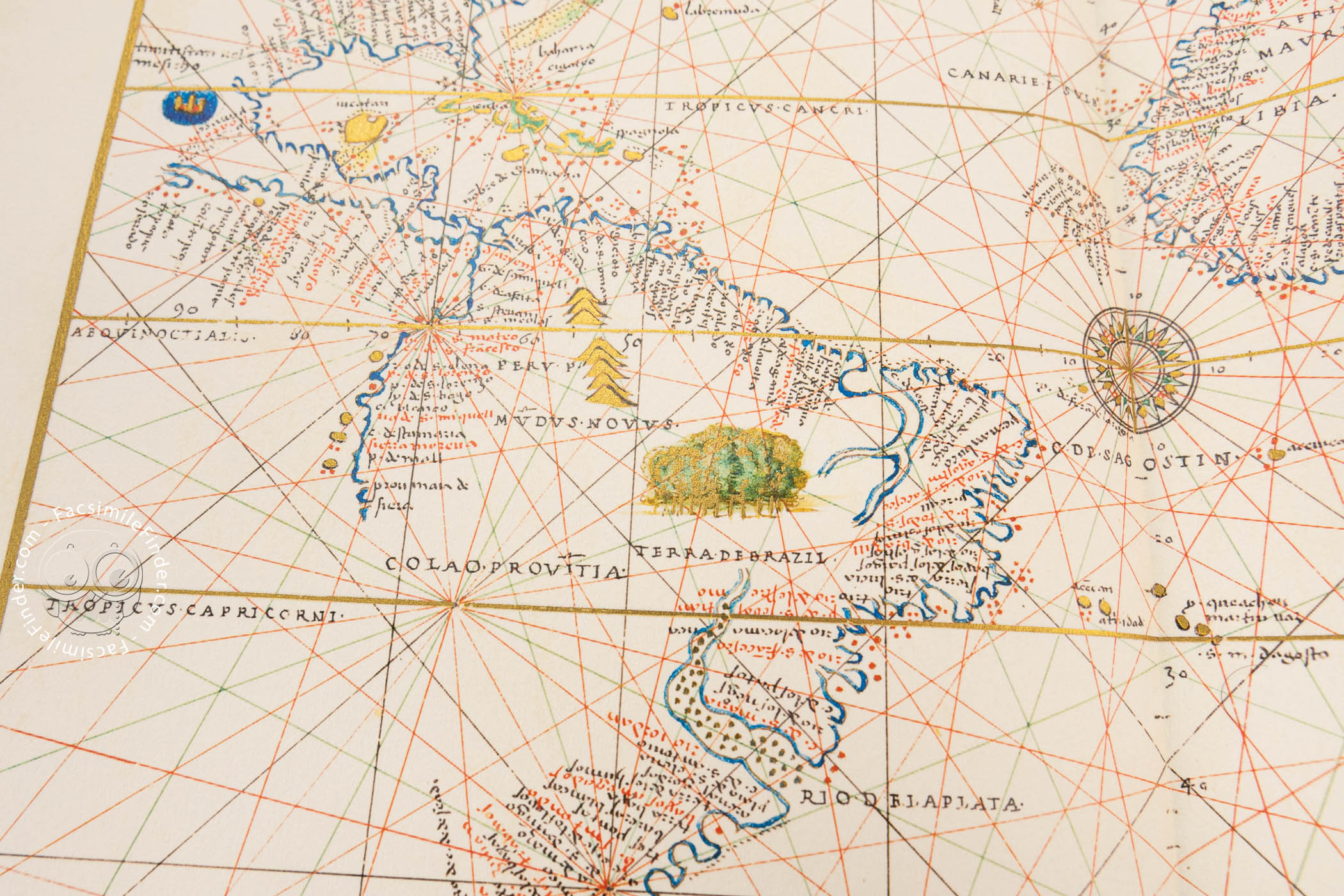
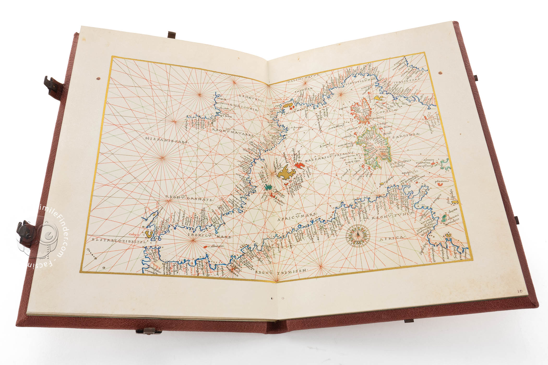
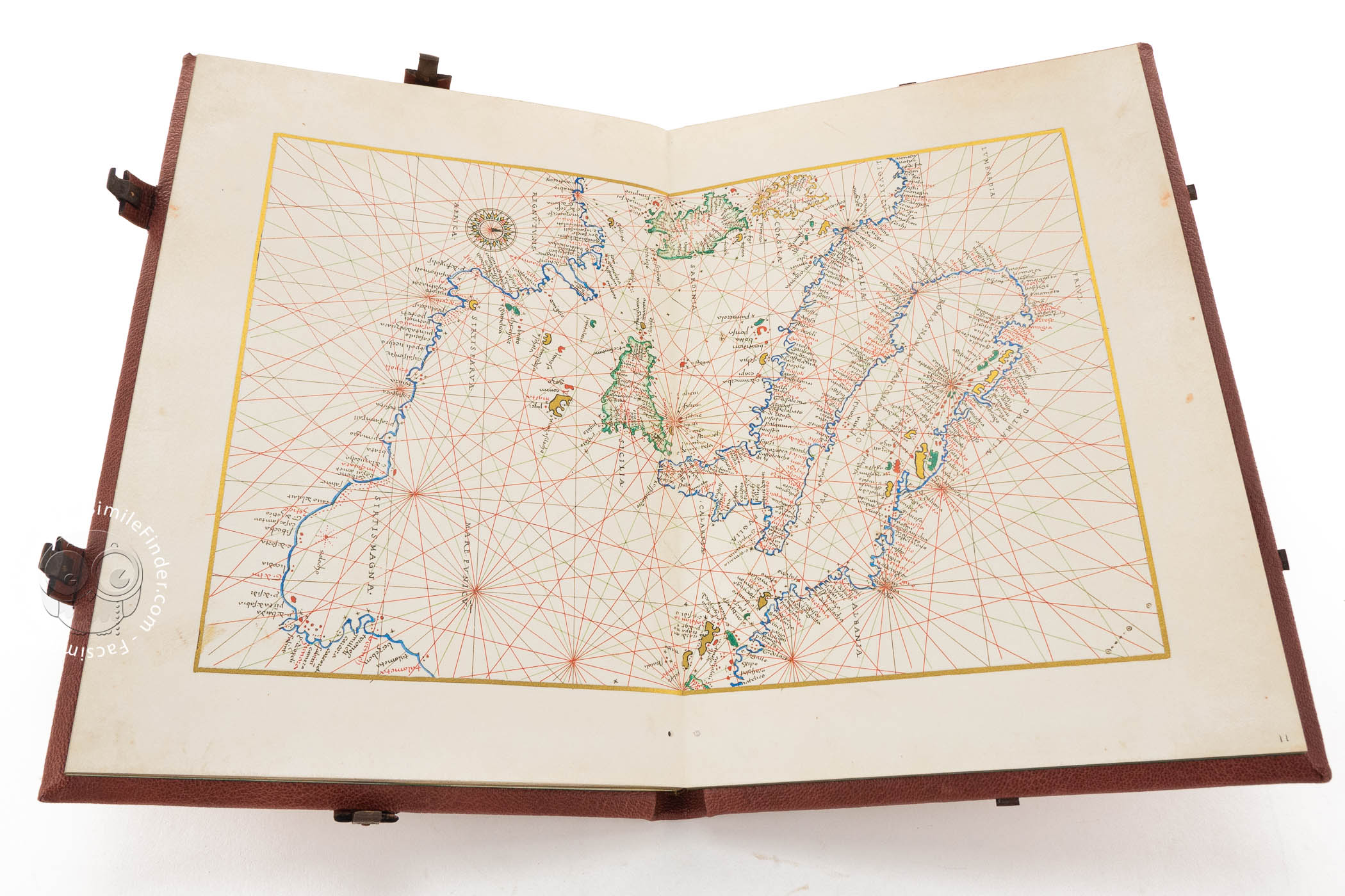
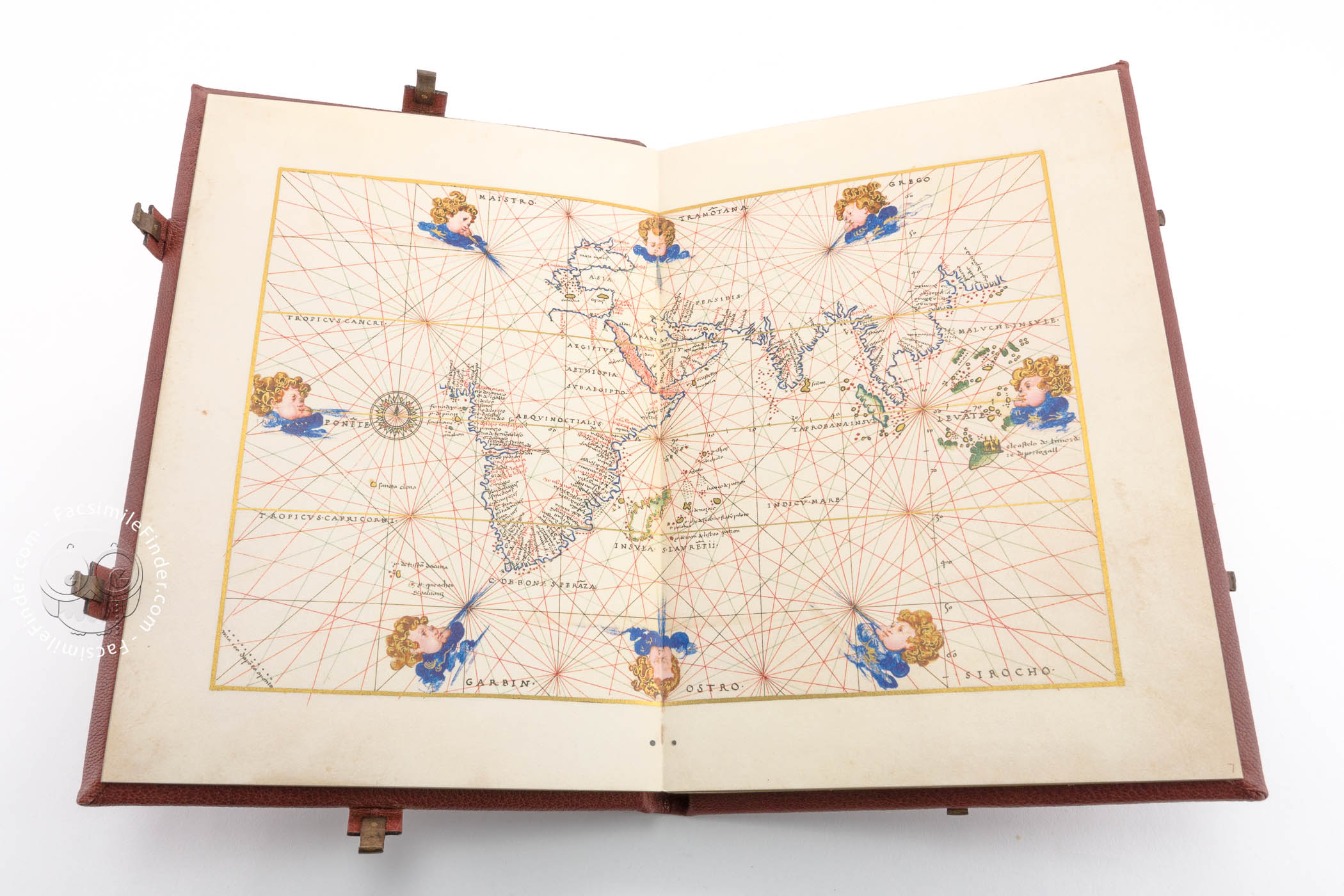

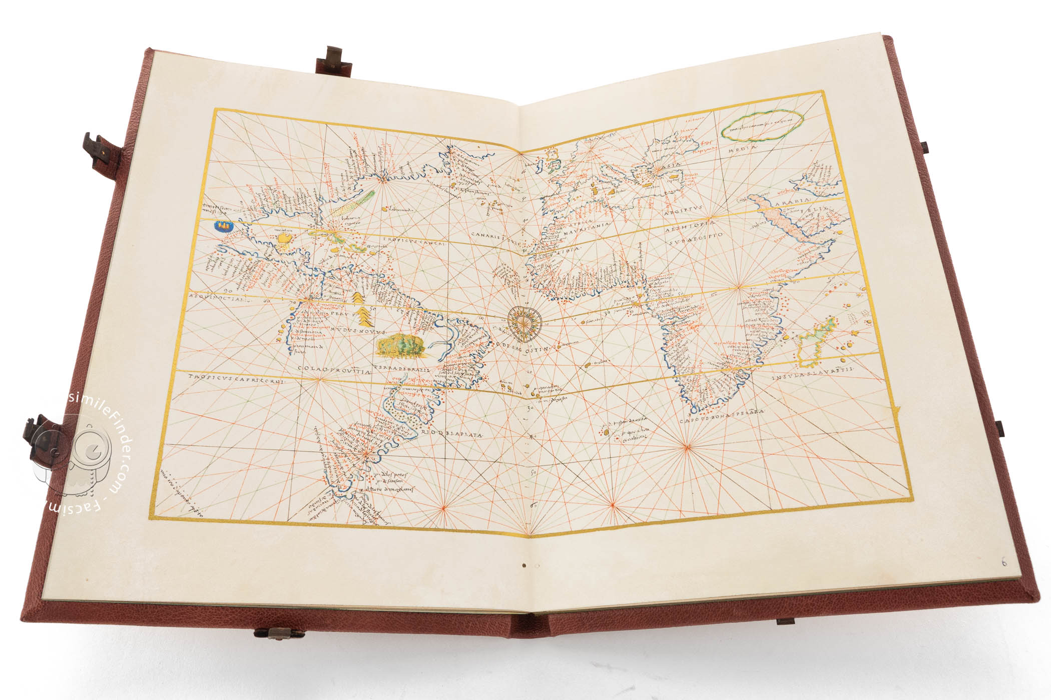
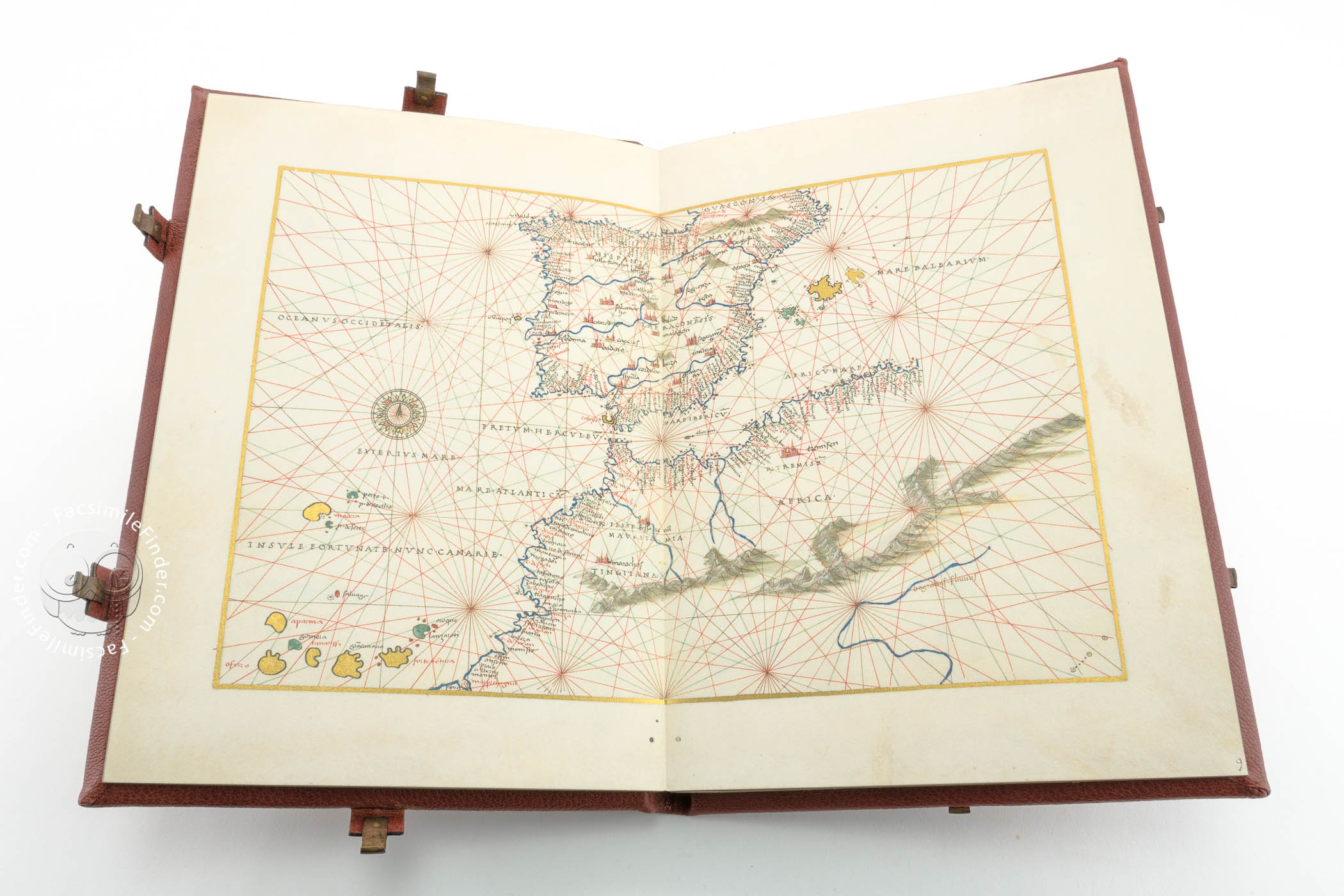
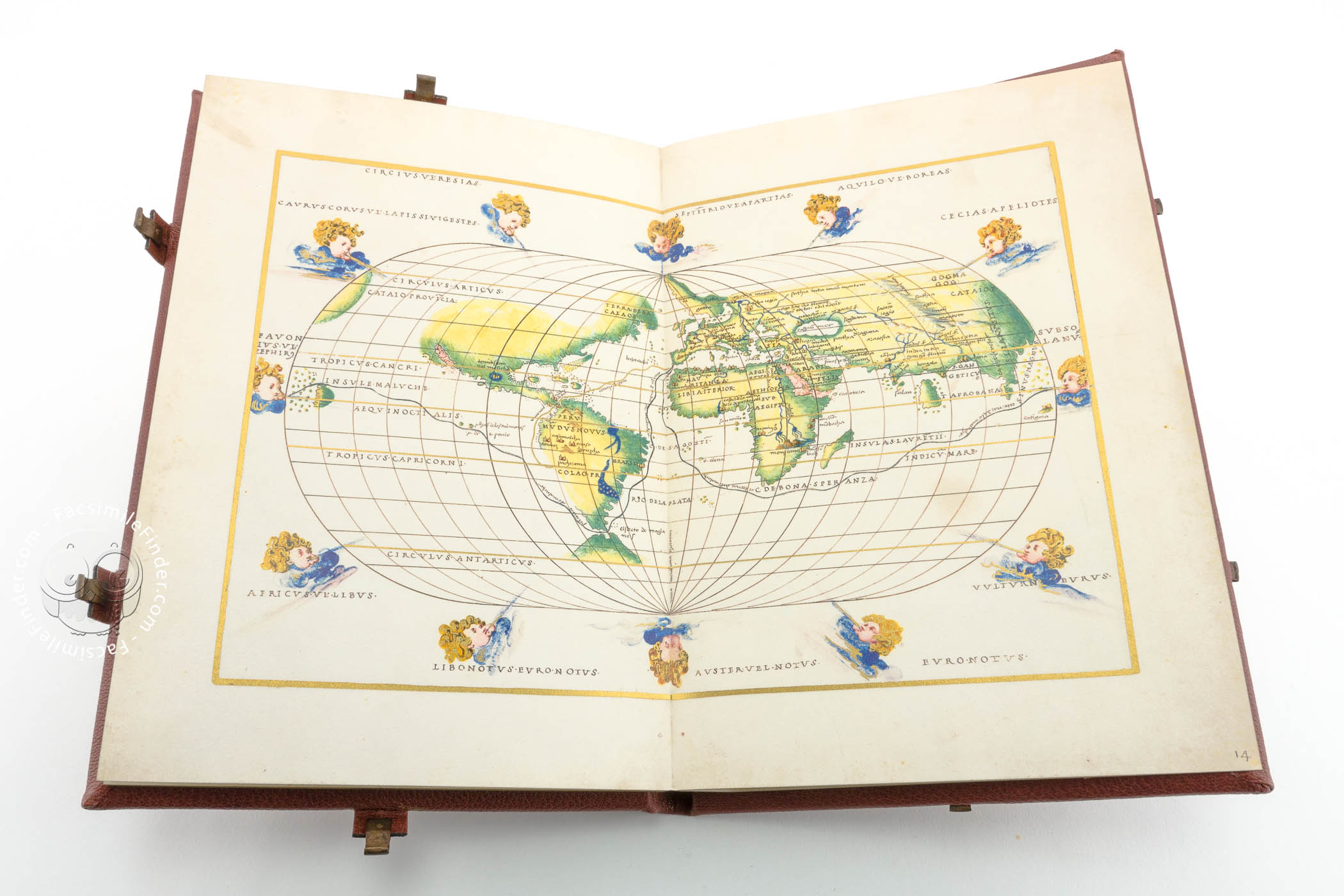
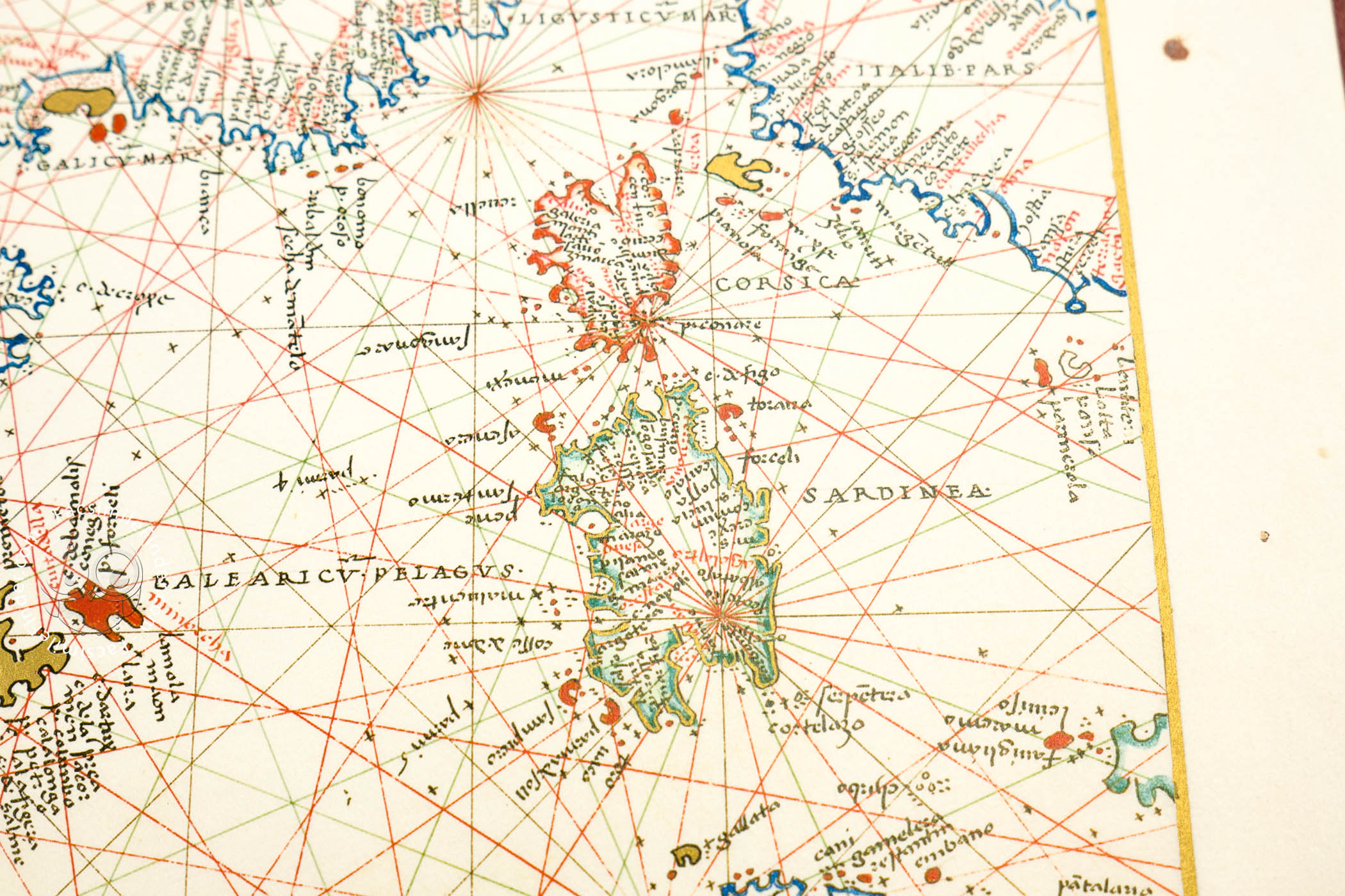
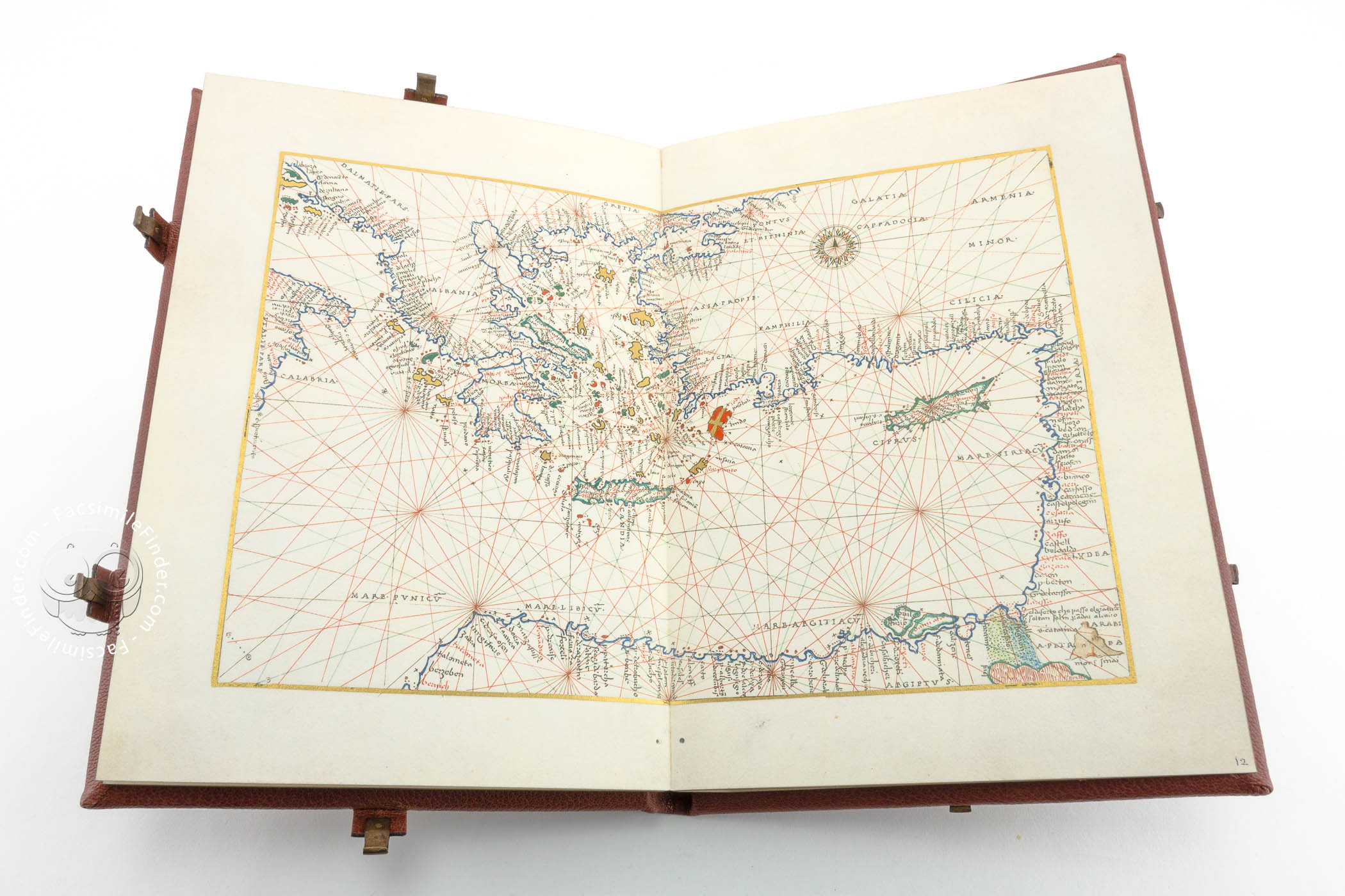
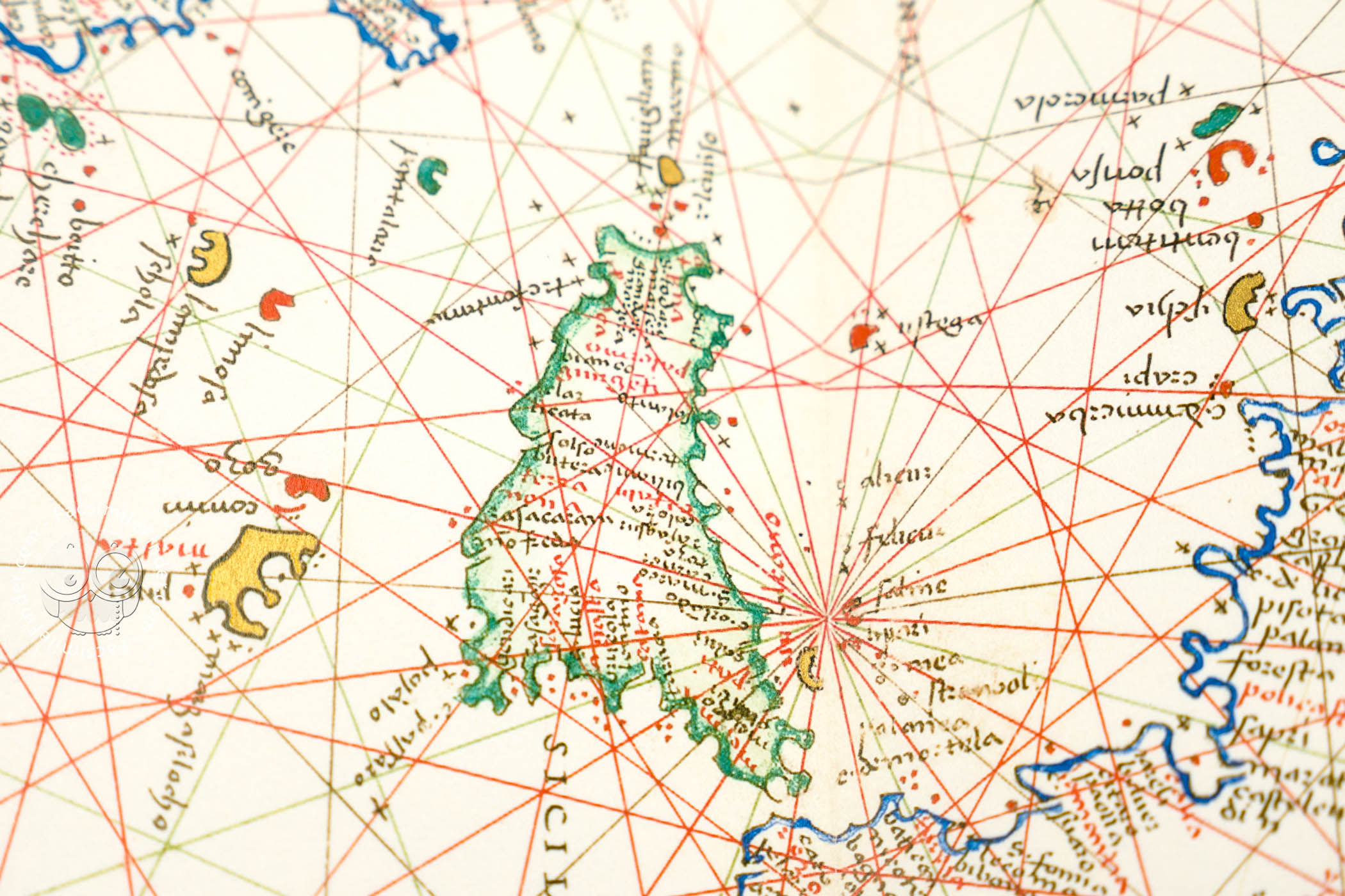
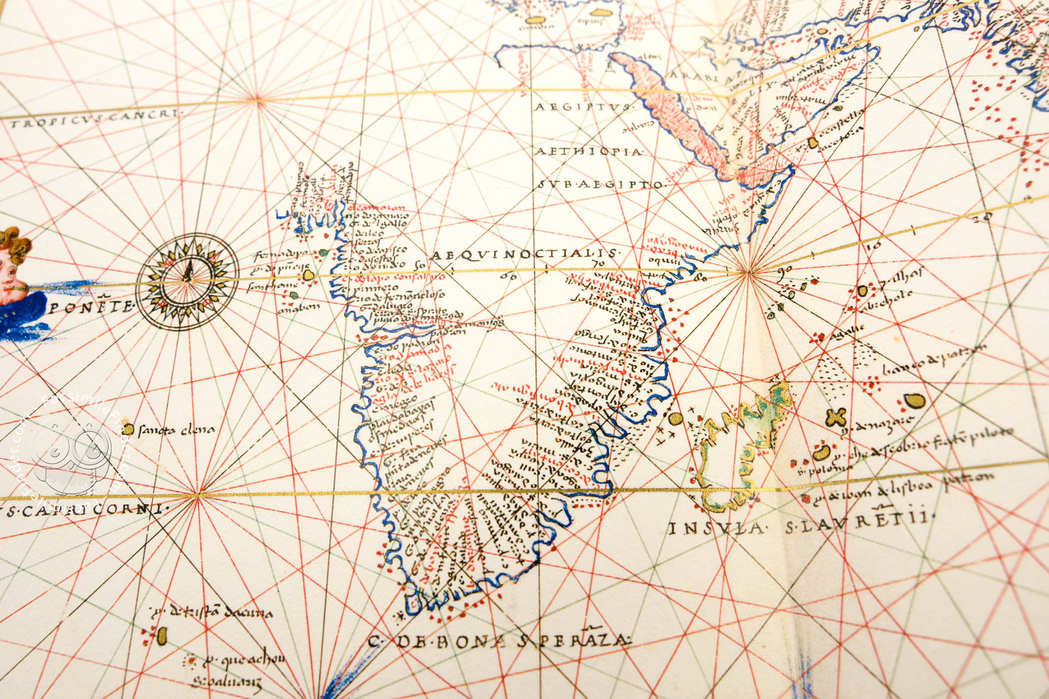
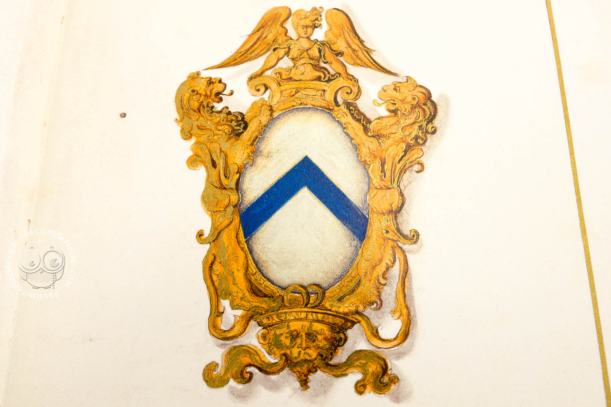


The Florence Atlas, created in the early 16th century by Battista Agnese, a renowned cartographer from Genoa who was active in Venice between 1536 and 1564, contains ten maps. The codex includes nine cartographic charts and culminates with an oval depiction of the known world. This depiction highlights two significant routes of the era: the first circumnavigation of the world by Ferdinand Magellan and the route through the Isthmus of Panama. Among the cartographic charts, the coat of arms of the Florentine Da Sommaia family is prominently featured, indicating they were likely the commissioners or recipients of the work.
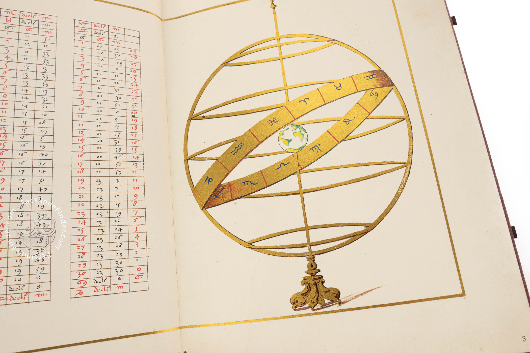
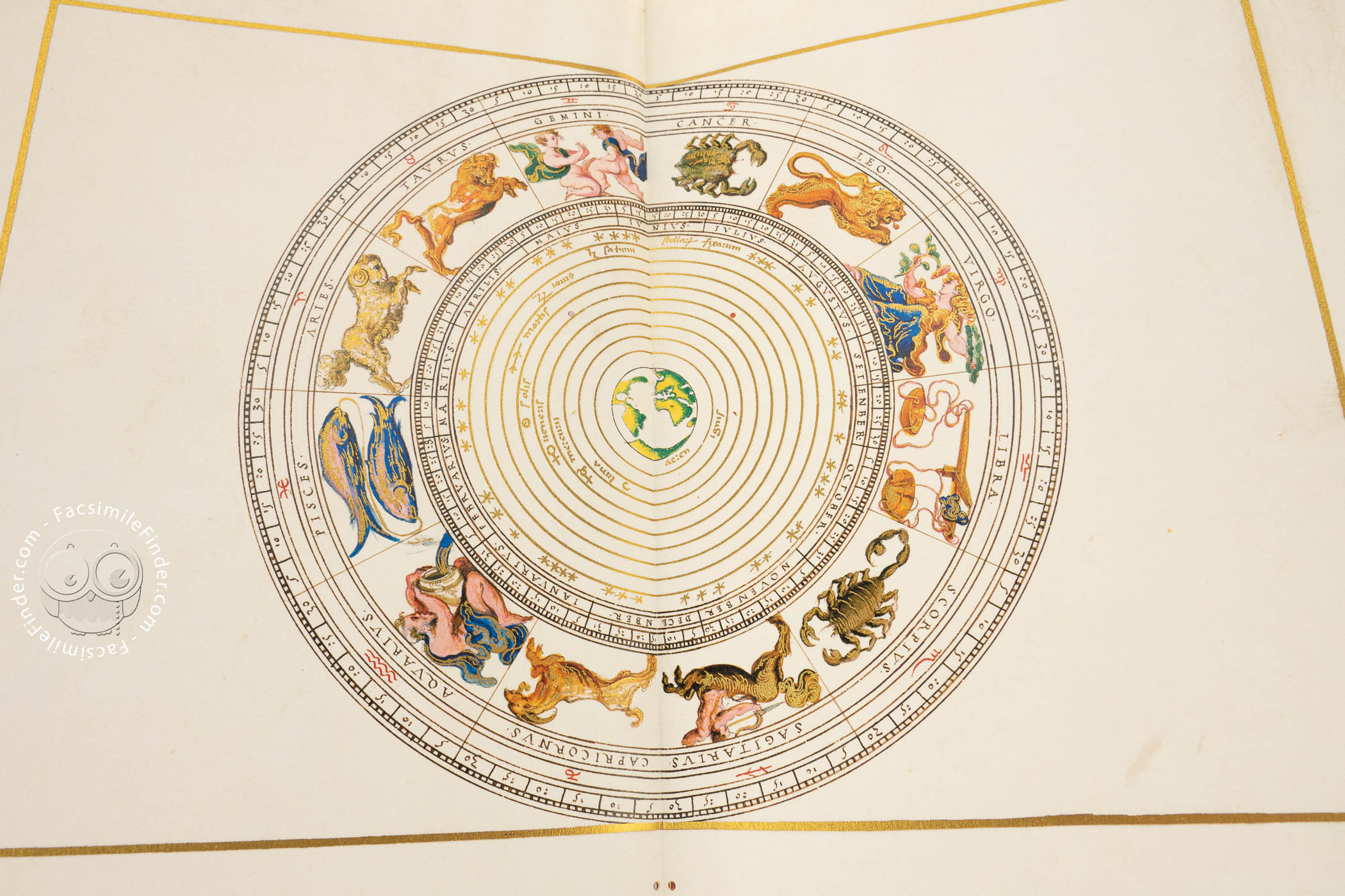
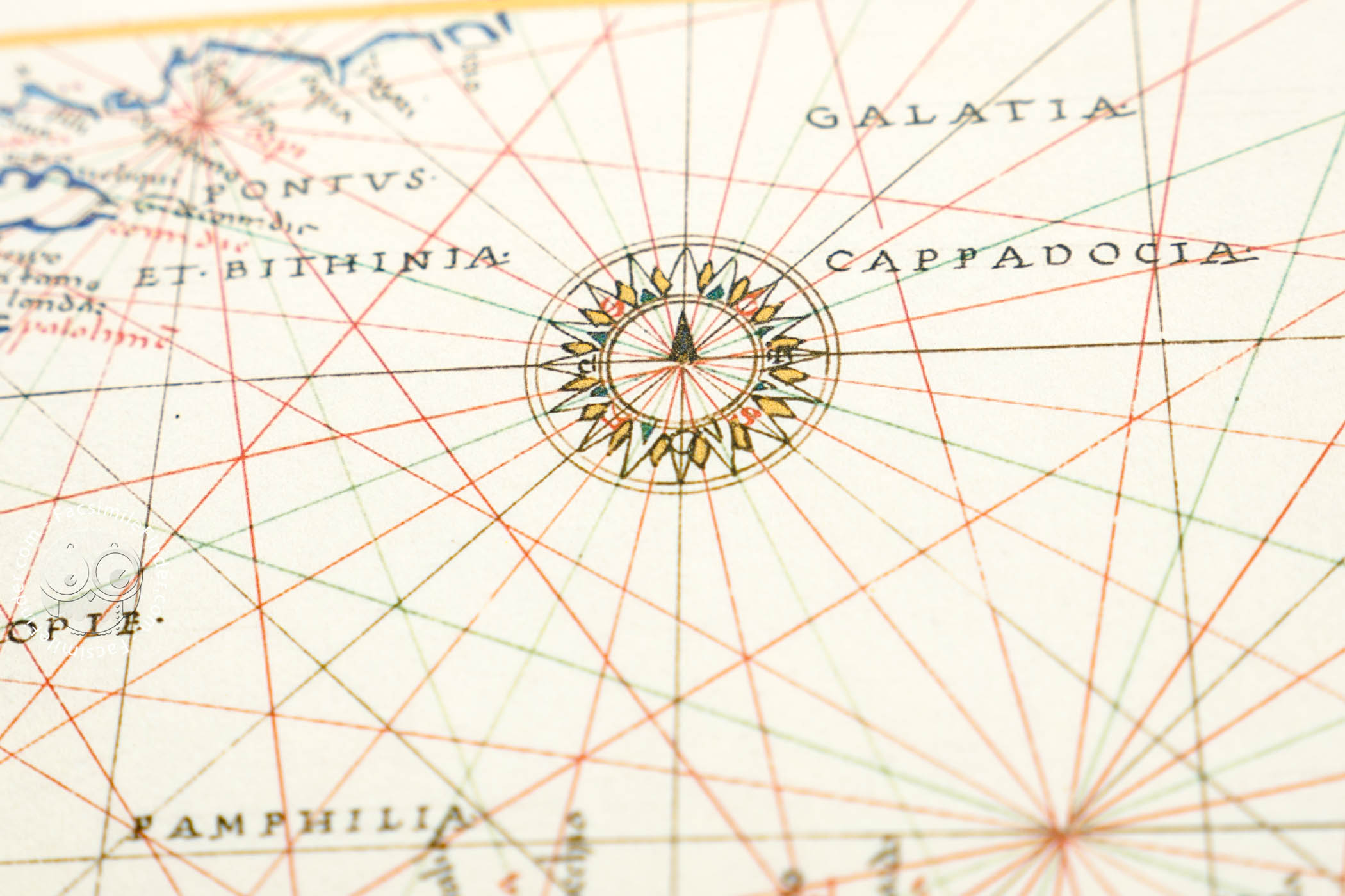
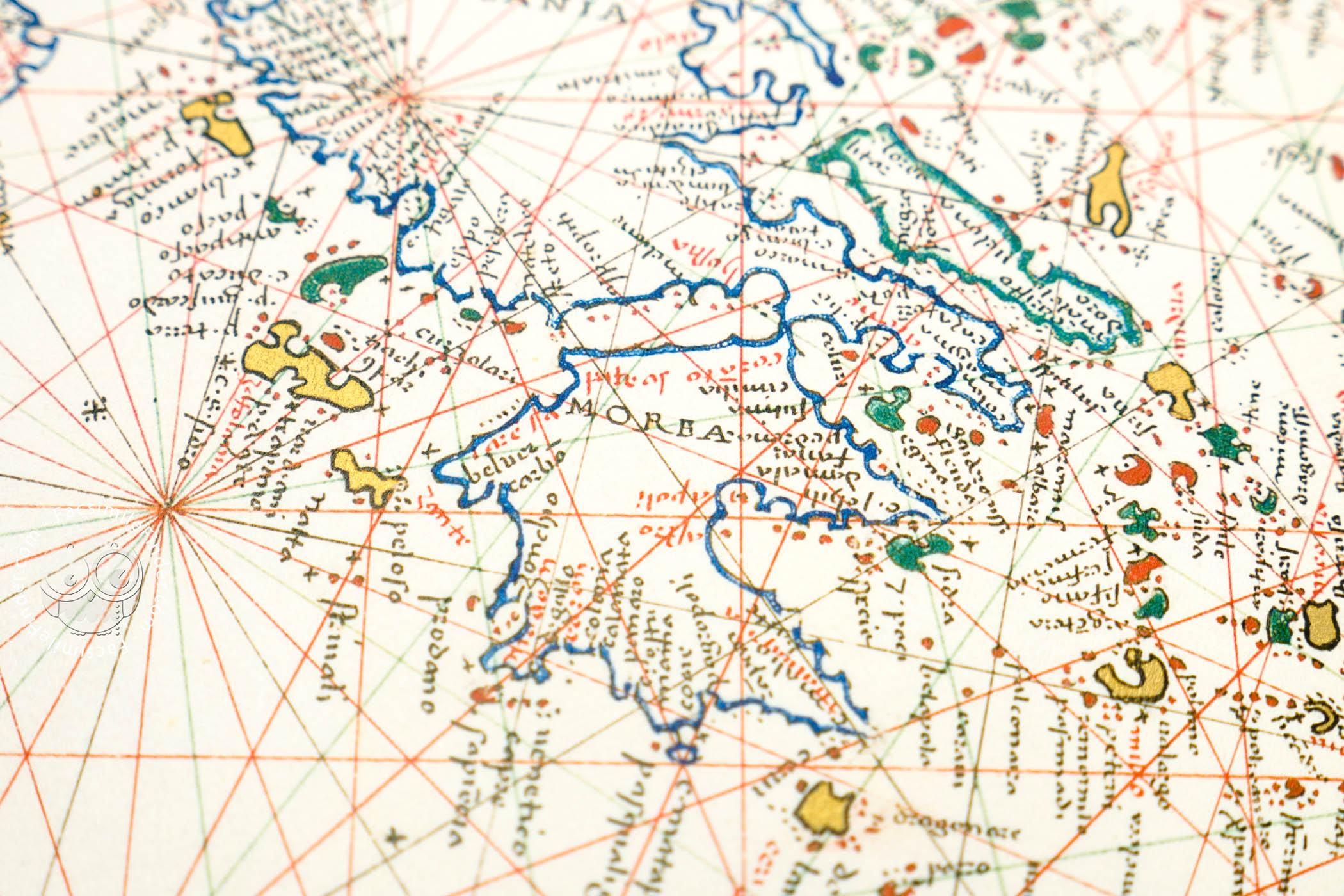
This manuscript stands as one of the most exquisite cartographic manuscripts from the Renaissance. Featuring ten meticulously drawn and illuminated maps, this atlas is among the most refined and opulent small-format atlases of its time.
Geographic and Cartographic Innovation
This atlas was part of the collection belonging to Antonio Magliabechi (1633-1714), a renowned scholar and bibliophile. In 1673, Grand Duke Cosimo III entrusted him with the management of the Biblioteca Palatina. The atlas, created by Battista Agnese—a prominent Genoese cartographer active in Venice between 1536 and 1564—demonstrates not only geographical innovation but also exceptional artistry.
Wealthy Audience and Imago Mundi
The use of high-quality materials, fine drawing techniques, and sophisticated color application reflect the high standards of this atlas, likely intended for a wealthy audience eager for the latest discoveries.
Following nine cartographic charts, an oval depiction of the world provides a synoptic view of European expansion and represents the mid-fifteenth-century imago mundi. It highlights two pivotal routes that transformed world perception: Ferdinand Magellan's first circumnavigation of the globe and "el Viaje del Perú," the route through the Isthmus of Panama to the west coast of South America.
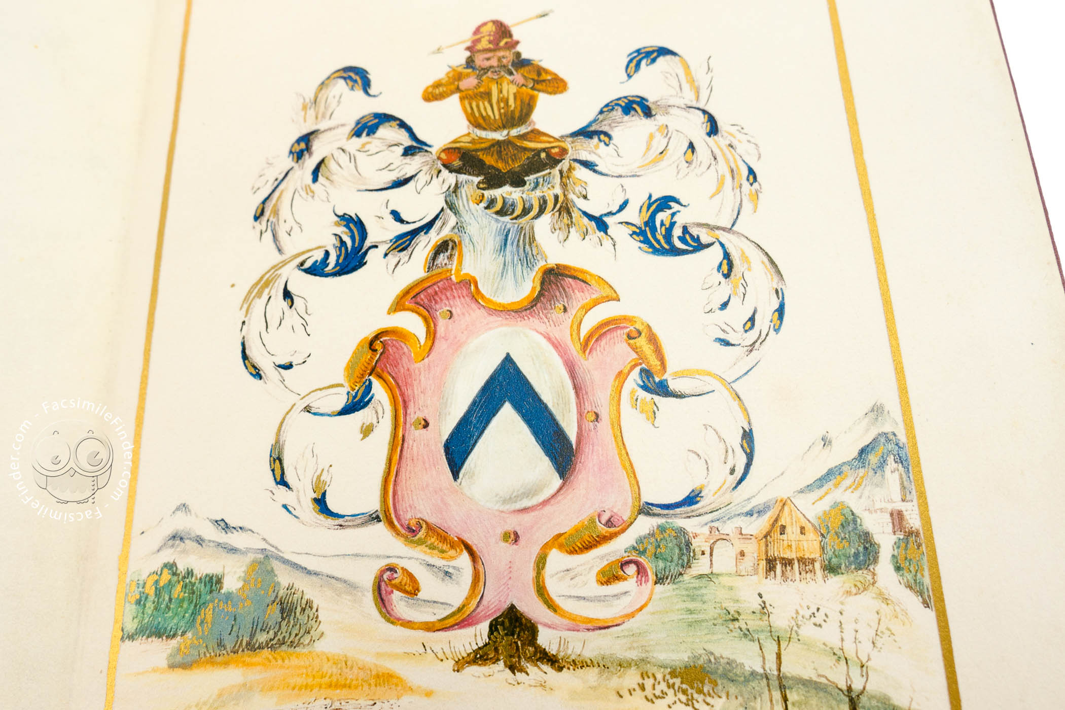
Da Sommaia Family: Commissioner or Recipient?
The iconographic structure is as original as its content: a golden frame unites the verso and recto in one continuous space. Among the various cartographic illustrations, the coat of arms of the Florentine Da Sommaia family appears, suggesting they were either the commissioners or recipients of this remarkable work.
We have 1 facsimile edition of the manuscript "Florence Atlas by Battista Agnese": Atlante Nautico di Battista Agnese facsimile edition, published by Istituto dell'Enciclopedia Italiana - Treccani, 2008
Request Info / Price