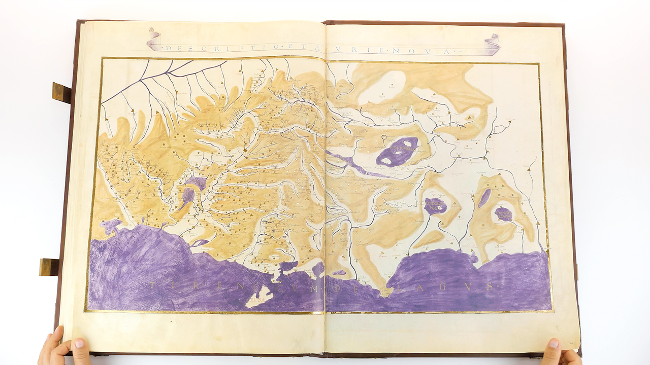
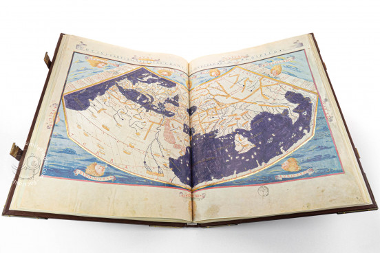
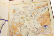
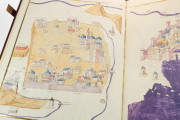
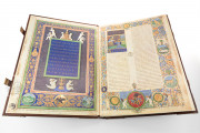
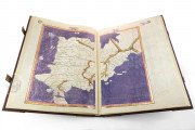
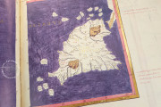
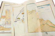
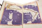
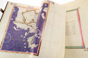
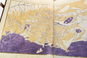
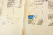
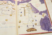
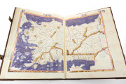
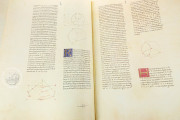
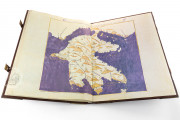
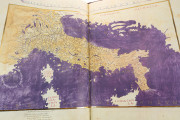
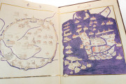
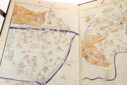
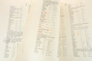
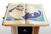
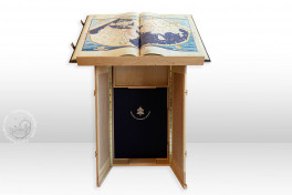
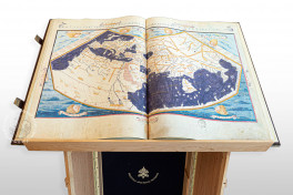
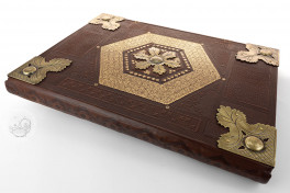
The Urb. Lat. 277 Ptolemy is a manuscript of a Latin adaptation of an ancient Greek cartographic text by the Greco-Roman scholar Ptolemy. It was produced in Florence in 1472 for Federico da Montefeltro, Duke of Urbino, reflecting his humanist interests. It includes more than forty maps showing both contemporary and ancient cities. The maps were rendered by Pietro del Massaio, a painter and military surveyor who worked on at least two other copies of Ptolemy’s Cosmography.
In the 2nd century CE, the Greek astronomer, geographer, and cartographer Claudius Ptolemy crafted a world atlas which became of pivotal importance in the history of geography. The work was revived by Italian Renaissance intellectuals, who admired Ptolemy's objective approach towards reality, free from any myth or legend.
Depicting the "Old World"
Ptolemy's Cosmography represents a portion of the world today known as "the Old World": Europe, Asia, and Africa.
With its maps enriched with decorative borders, the atlas laid the foundation for European geography and paved the way for the era of discoveries, by showing Europeans that the distance between their territory and the coastline of unexplored continents was shorter than expected.
The work is exceptionally detailed, allowing viewers to enjoy a thorough depiction of the world as it was known in 2nd-century Roman Empire. Asia is the most meticulously represented continent: its territory is depicted in twelve maps and divided into forty-eight provinces.
In contrast to most major world atlases, the volume features depictions of important cities such as Venice, Florence, Rome, Constantinople, Damascus, Jerusalem, Alexandria, Cairo, and the Tuscan town of Volterra.
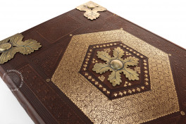
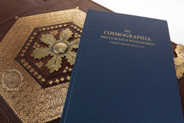
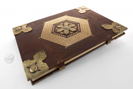
We have 2 facsimiles of the manuscript "Urb. Lat. 277 Ptolemy":
- Cosmographia des Claudius Ptolemaeus (Deluxe Edition) facsimile edition published by Belser Verlag, 1982
- Cosmographia des Claudius Ptolemaeus facsimile edition published by Belser Verlag, 1982

