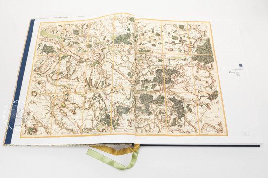
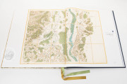
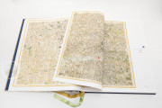
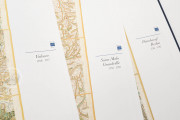
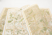
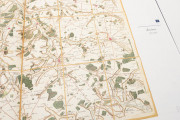
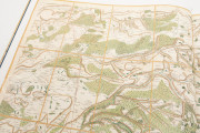
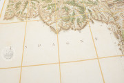
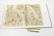
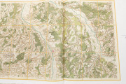
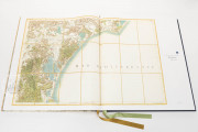
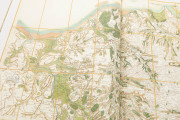
The Cassini Map of France was the world's first national, systematic survey conducted on a state-wide scale using triangulation. This innovative method significantly enhanced the accuracy and detail of maps, marking a major advancement in cartography. Its influence extended beyond France, shaping the creation and use of maps in other countries. Furthermore, this groundbreaking project became a pivotal tool for revolutionaries striving to reshape France's social and geographic identity.
Abolishing Feudal Privileges: The Birth of 83 Departments
Following the storming of the Bastille in July 1789 and the ensuing revolutionary movements, a notable decree was issued on August 4-5, 1789, abolishing feudal privileges, including the unique rights of France's provinces. No longer would provinces, principalities, pays, cantons, cities, and communes compete for resources and privileges. Instead, 83 departments of equal size were established, each with a regional capital at its center. France was unified, and this spirit of republicanism and egalitarianism extended to its cartography.
Using the Cassini Map for Re-Mapping Provincial France
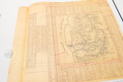
To re-map provincial France, the National Assembly did not need to start from scratch; they relied on the Cassini Map, an equally revolutionary endeavor. The Cassini project, which spanned several decades, aimed to map the entire country and resulted in approximately 180 plates, covering a total of 36 square feet. Particular credit must be given to César-François Cassini and his son Jean-Dominique Cassini. The map was created at a scale of one line to 100 toises, which is equivalent to 1/86,400.
The Historical Significance of the Cassini Project
Originally published under Louis XV, this detailed map of the entire Kingdom of France actually traces its origins back to Louis XIV, who founded the Académie des Sciences and commissioned work in astronomy and geodesy to support this project. Four generations of the Cassini family, renowned astronomers and cartographers closely linked to the royal court, completed the work over more than 60 years. It was conducted on an unprecedented scale for its time, covering the entirety of French territory.
The Queen Copy: A Colorful Representation of France’s Geography
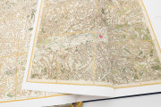
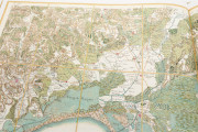
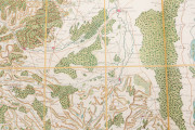
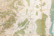
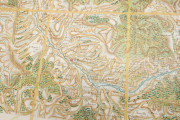
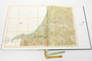
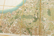
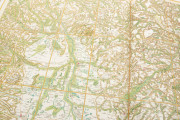
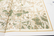
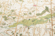
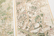
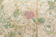
The "Queen copy" held at the Bibliothèque Nationale de France features watercolor highlights—towns and villages shaded in red, woods in green, and main communication routes depicted in bistre.
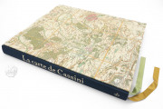
We have 1 facsimile edition of the manuscript "Cassini Map": Cassini Map facsimile edition, published by Conspiration Éditions, 2024
Request Info / Price
