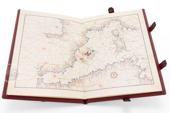
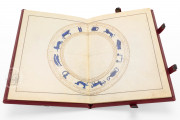
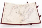
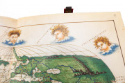
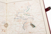
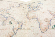
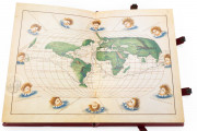
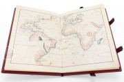
The Brescia Atlas by Battista Agnese, preserved in the Biblioteca Queriniana in Brescia (codex I.III.24), is a masterpiece of Renaissance cartography. This exquisite manuscript features nine meticulously drawn and illuminated nautical charts, a planisphere, and a zodiac map. The final map, an oval depiction of the world, offers a vivid representation of European expansion and the mid-15th century world perception, showcasing key voyages such as Magellan's circumnavigation and the route across the Isthmus of Panama to South America's west coast.
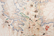
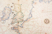
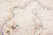
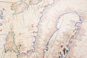
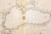
The manuscript includes double-page charts depicting the Zodiac, the Americas, the Atlantic Ocean, the Pacific Ocean, the English Channel, the Western Mediterranean, the Central Mediterranean, Italy, the Eastern Mediterranean, the Black Sea, the globe, and the winds. Crafted with high-quality materials and elegant color use, this atlas was likely intended for a wealthy and discerning audience.
Battista Agnese: Master Cartographer of the Renaissance
Battista Agnese was an Italian cartographer of Genoese origin, whose most significant commissions came from Venice, where he ran a prominent cartographic workshop. Between 1514 and 1564, Agnese produced over fifty maps and atlases, including both nautical and topographic charts. His notable works include the first map of the Grand Duchy of Moscow in 1525, based solely on descriptions provided by Russian ambassador Dmitry Gerasimov, and an atlas for Charles V in 1542 that accurately depicted the California coast. Agnese's cartographic career is marked by two periods: the first, up until 1541, and the second, featuring the inclusion of the California peninsula and a new map of Scotland. His works, typically adorned and decorative, were intended for princes and notable figures, often featuring latitude but omitting longitude.
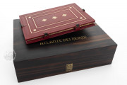
We have 1 facsimile edition of the manuscript "Brescia Atlas by Battista Agnese": L'Atlante dei Mondi facsimile edition, published by ArtCodex
Request Info / Price
