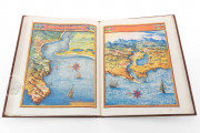
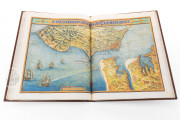
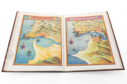
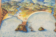
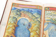
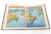
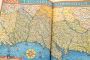
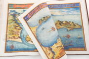
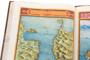
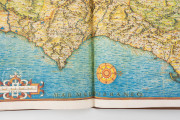
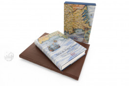
Commissioned by King Phillip IV of Spain, this manuscript atlas is the result of one of the most important cartographic projects of the seventeenth century. It was finished in 1634 by the Portuguese cartographer Pedro de Texeira (c. 1595-1662), and contains beautiful maps of the Spanish coasts, created after its author traveled around Spain during six years compiling information about its coasts, cities, and ports. The atlas also contains a world map that shows the known world at the time, in a handsome combination of cartography and art.
With abundant graphic information about the Spanish coasts and cities in the first half of the seventeenth century, this atlas was not rediscovered until 2002, when it appeared in the National Library of Austria. Lavishly decorated and illuminated with vivid colors, it is not only a beautiful piece of art, but also an interesting example of the link between cartography and political power in seventeenth-century Spain.
A Treasure of Seventeenth-Century Spanish Cartography
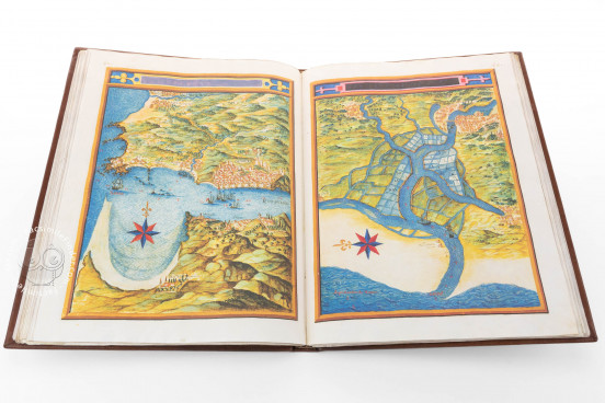
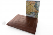
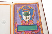
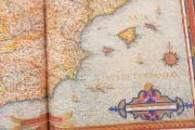
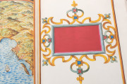
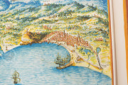
This atlas is made on paper, and measures 44.9 x 35.3 cm. It is composed of a hundred-sixteen beautiful hand-colored maps and views of the Spanish coast, starting with Guipúzcoa on the northern coast and finishing with Catalonia. We can also see a general map of Spain (fols. 3v-4r) and a world map (fols. 84v-85r). The decoration includes several depictions of the coat of arms of Philip IV of Spain and some large decorated full-page blank cartouches.
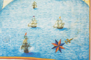
The maps of the coasts of the Iberian Peninsula are remarkably detailed and lavishly decorated with cartouches, scales of leagues, and compass roses, among other decorative elements. They include a frame with a cartouche showing the name of the area portrayed. There is almost no text, except some place names; thus the information provided in the atlas is offered by its decorative apparatus.
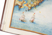
The topographic elements, like mountain ranges and rivers, are prominently depicted, and the sea is colored bright blue. In some maps, the sea is filled with ships and compass roses, as well as with abundant waves representing the currents.
The representative details are remarkable, and show the seventeenth-century Spanish littoral in a reliable way. The perspective of the maps, as well as the attention to details in coastal cities and ports, indicate that the atlas had also a strategic and defensive purpose, and was an important informative tool for Philip IV.
Thus, this atlas is not only a beautiful work of art, but also an interesting example of the political and strategic value of seventeenth-century cartography. It is held in the National Library of Austria under the shelfmark Cod. Min. 46.
A Remarkably Ambitious Cartographic Project
In 1622, Philip IV of Spain assigned a project to a group of cartographers and historians led by cosmographer Juan Bautista Lavanha: to travel the Spanish coasts and represent them in an atlas, supplying information about their most important cities and ports. Two years later, Lavanha passed away, and the rest of the members of the commission abandoned the project for various reasons. Thus, the work was continued by Lavanha's disciple Pedro de Texeira, who spent six years traveling the Iberian coasts, and another six years creating the atlas in his workshop in Madrid.
The result was the most complete and lavish cartographic representation of the Spanish coasts and coastal cities, which was an important piece in the king’s personal library. Nevertheless, for some reason, the atlas disappeared for centuries and was rediscovered in 2000 in the National Library of Austria by the Spanish researchers Fernando Marías and Felipe Pereda.
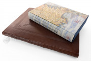
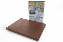
We have 1 facsimile edition of the manuscript "Atlas of Pedro de Texeira": Atlas de Pedro Texeira facsimile edition, published by Siloé, arte y bibliofilia, 2004
Request Info / Price
