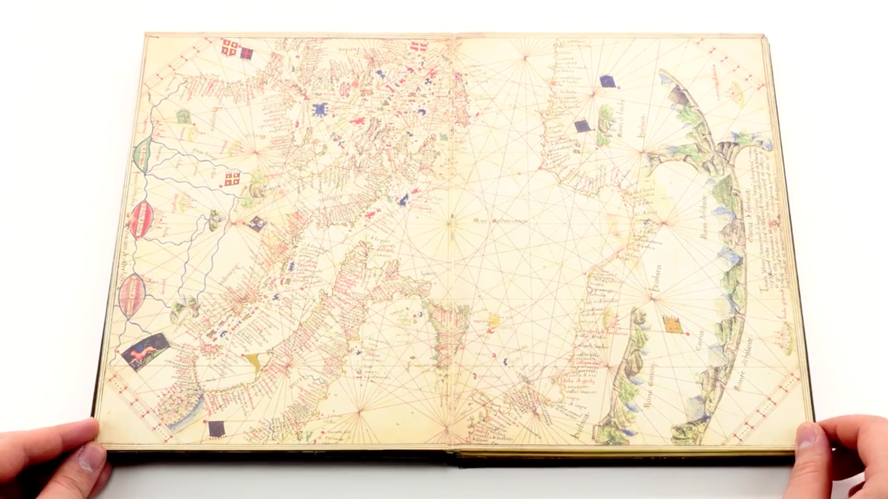
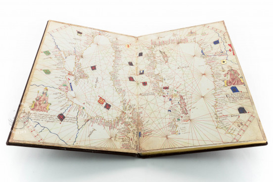
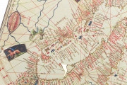
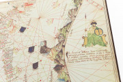
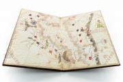
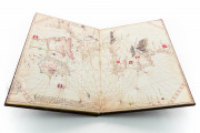
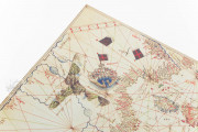
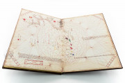
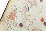
The Atlas of Andrea Benincasa comprises five nautical maps showing details of the ports and harbors of the Mediterranean and Black Seas and the Atlantic coasts of Europe and the western Sahara. Cartographer Andrea Benincasa created these elaborate portolan charts in 1476 in Venice or his native Ancona. The last chart includes a depiction of Antillia, a phantom island that was once believed to lie in the Atlantic Ocean. Benincasa embellished his maps with figures representing Musa, the sultan of Mali, and the rulers of the Tartars and Babylon, among other details.
We have 1 facsimile edition of the manuscript "Atlas of Andrea Benincasa": Atlas de Andrea Benincasa facsimile edition, published by Millennium Liber, 2013
Request Info / Price
