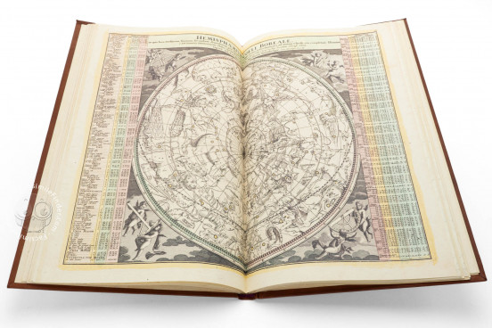
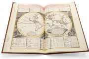
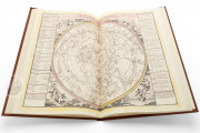
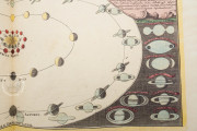
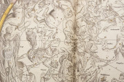
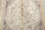
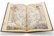
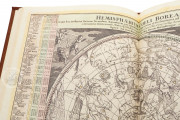
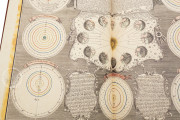
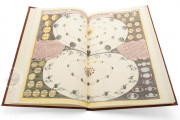
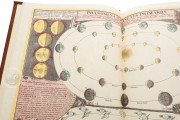
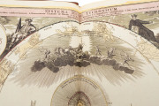
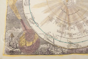
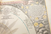
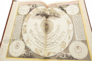
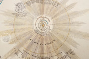
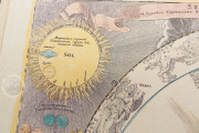
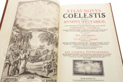
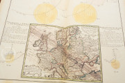
The Atlas Novus Coelestis is one of the most important celestial atlases of eighteenth-century Germany. Created under the supervision of the astronomer, cartographer, and mathematician Johann Gabriel Doppelmayr (1677-1750) and printed in Nuremberg by the publishing house of Homann Heirs in 1748, it is a superb work of art that showcases innovations in celestial geography made by generations of European astronomers. Named and pictured in the engraved frontispiece are Ptolemy (d. ca. 170), Nicolaus Copernicus (1473-1543), Johannes Kepler (1571-1630), and Tycho Brahe (1546-1601). The copy in the library of the university named for Copernicus in Toruń features thirty-three large, engraved charts and a pictorial frontispiece, many carefully hand colored.
The opening thirty charts are those of Doppelmayr's 1742 publication titled Atlas Coelestis. This 1748 version, under the title Atlas Novus but still bearing the date of 1742 on the frontispiece and the title page, includes three additional plates and a supplemental title page (bound at the end and dated 1748).
A Specialist Publishing House
The atlas was published by the Nuremberg firm that grew out of the work of the celebrated map engraver Johann Baptist Homann (1664-1724). All of the celestial charts are credited to Homann or Homann Heirs, but only three of the atlas's plates are signed by individual engravers: the frontispiece by Johann Christoph von Reinsperger (1711-1777), Plate 31 to Ruprecht Adam Schneider (1727-1760), and Plate 32 by Sebastian Dorn (d. ca. 1778).
Looking at the Sky in a Book
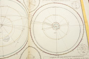
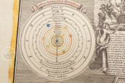
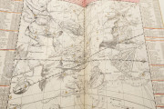
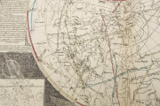
The plates depict stars, planets, and the moon according to the scientific writings of ancient and early modern astronomers. Some chart planetary movements relating to specific years in the first half of the eighteenth century. Many were repurposed from earlier publications, with two dating from as early as 1707.
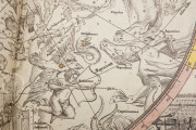
Although each plate has a scientific raison d'être, pictorial embellishments enliven many of them. For example, on Plates 18 and 19, not only are the figures of the constellations depicted, but also represented are the observatories at Ven, Paris, Danzig, Nuremberg, Greenwich, Copenhagen, Kassel, and Berlin.
Credit Where Credit Is Due
Each plate presents a particular theme, and Doppelmayr is scrupulous in citing his sources. Each diagram includes an attribution to the astronomer whose theory it represents. For example, Plate 2 shows the solar system according to the observations of Christiaan Huygens (1629-1695), and Plate 11 presents a pair of lunar maps, one according to Johannes Hevelius (1611-1687) and the other following Giovanni Battista Riccioli (1598-1671).
A Work of Science and Art
Although the proportions of the title page and index make it clear that the intention was that each chart would be folded and sewn along the fold to create a bound atlas, the sheets of the Toruń volume are not folded. This fact, together with the sparing but skillful hand coloring of the plates, testify that the atlas's contents were held in high aesthetic regard.
We have 1 facsimile edition of the manuscript "Atlas Novus Coelestis": Atlas Coelestis facsimile edition, published by Orbis Pictus, 2011
Request Info / Price
