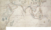
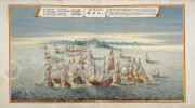
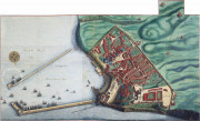
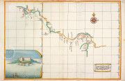
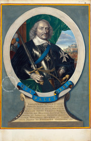
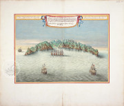
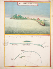
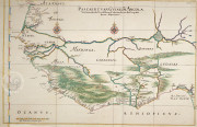
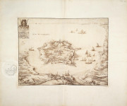
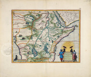
The Atlas Blaeu Van der Hem is a rich and detailed collection of maps, topographical prints, charts, and drawings datable to the seventeenth century. Kept in the Österreichische Nationalbibliothek in Vienna, the atlas is almost intact. It provides relevant information about the national heritage giving modern readers a picture of the natural and political situation of the seventeenth century. This extremely meticulous work is the result of the maps and views collected throughout Van der Hem’s life.
The Atlas Blaeu Van der Hem: A Remarkably Vast Collection of Maps
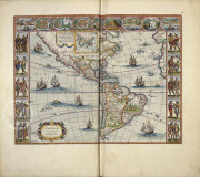
The atlas contains outstanding maps. 46 volumes include 2400 maps, drawings and charts picturing harbors, buildings, seascapes and landscapes. The atlas is the enriched version of Joan Blaeus’s Altlas Maior or Great Atlas, which was published in Amsterdam between 1660 and 1663.
The atlas provides a visual encyclopedia of the geographical maps and political systems of the seventeenth century. Van der Hem collected maps and charts to form a consistent collection.
He adapted the original format to the shape of his album and commissioned many new drawings to complete his work. Throughout his life, he created a personal gallery of pictures that altogether represent the entire world.
Laurens Van der Hem and the Making of the Atlas Blaeu
A lawyer and collector, Van der Hem used the eleven-volume Atlas Maior (1662) as the core of the atlas. He enriched the original 600 maps with selected images taken from manuscripts and printed texts. The selection was based on his own personal taste.
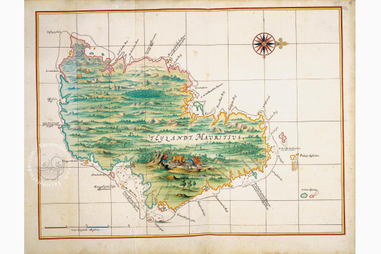
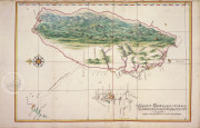
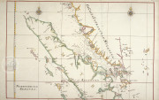
Among the additions were four manuscript maps produced for the VOC, the Dutch East India Company, which were used only by the officers. In 1730, the Van der Hem family sold the atlas to Prince Eugene of Savoy, general of the Southern Netherlands.
The Savoy family sold the atlas to the imperial library in Vienna. From the imperial library the atlas passed on to the Austrian National Library. The atlas is a unique exemplar because of the extensive collection it contains but also because it unifies original drawings along with printed maps.
We have 1 facsimile edition of the manuscript "Atlas Blaeu - Van der Hem": Atlas Blaeu - Van der Hem facsimile edition, published by Hes & De Graaf Publishers, 2011
Request Info / Price
